Wendover Se Topo Map Nevada
To zoom in, hover over the map of Wendover Se
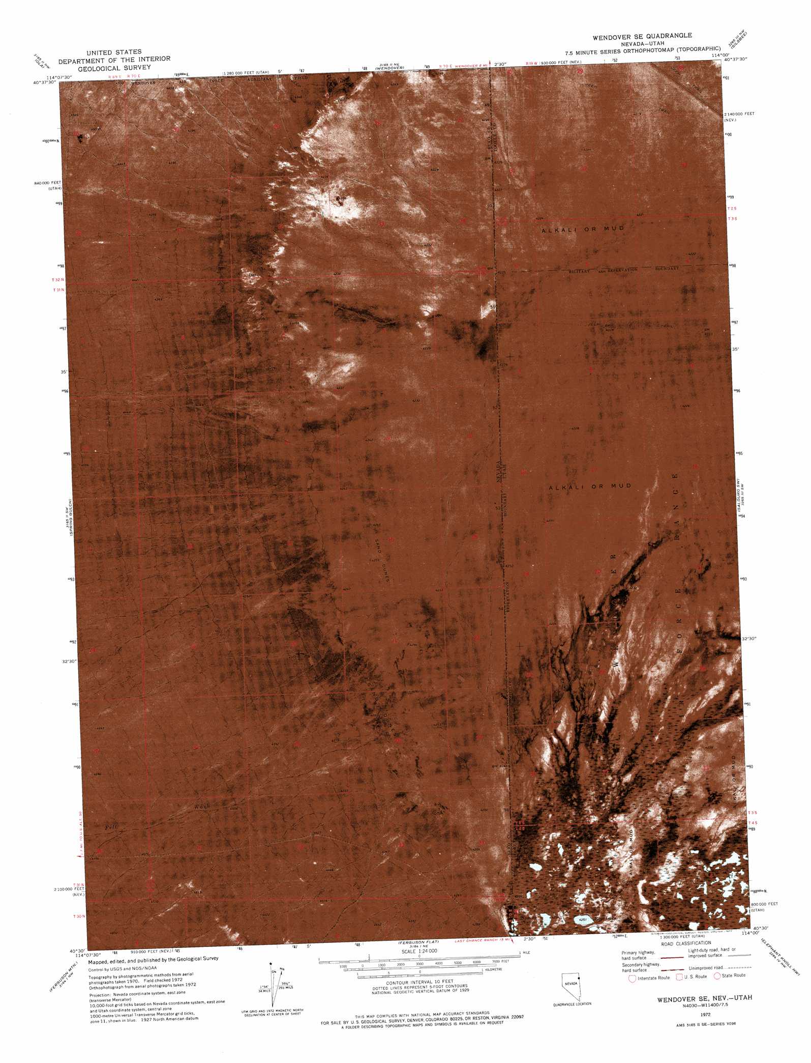
USGS Topo Quad 40114e1 - 1:24,000 scale
| Topo Map Name: | Wendover Se |
| USGS Topo Quad ID: | 40114e1 |
| Print Size: | ca. 21 1/4" wide x 27" high |
| Southeast Coordinates: | 40.5° N latitude / 114° W longitude |
| Map Center Coordinates: | 40.5625° N latitude / 114.0625° W longitude |
| U.S. States: | NV, UT |
| Filename: | p40114e1.jpg |
| Download Map JPG Image: | Wendover Se topo map 1:24,000 scale |
| Map Type: | Orthophoto |
| Topo Series: | 7.5´ |
| Map Scale: | 1:24,000 |
| Source of Map Images: | United States Geological Survey (USGS) |
| Alternate Map Versions: |
Wendover SE NV 1972, updated 1977 Download PDF Buy paper map Wendover SE NV 2011 Download PDF Buy paper map Wendover SE NV 2012 Download PDF Buy paper map Wendover SE NV 2014 Download PDF Buy paper map |
1:24,000 Topo Quads surrounding Wendover Se
West Morris Basin |
Pilot |
Leppy Peak |
Tetzlaff Peak |
Bonneville Racetrack |
Morgan Pass |
Ola |
Wendover |
Silsbee |
Salduro |
Lion Spring |
Spring Gulch |
Wendover Se |
Salduro Sw |
Salduro Se |
Goshute Peak |
Ferguson Mountain |
Ferguson Flat |
Elephant Knoll Nw |
Elephant Knoll Ne |
White Horse Mountain |
White Horse Pass |
Utah Peak |
Elephant Knoll |
Elephant Knoll Se |
> Back to 40114e1 at 1:100,000 scale
> Back to 40114a1 at 1:250,000 scale
> Back to U.S. Topo Maps home
Wendover Se topo map: Gazetteer
Wendover Se: Lakes
Blue Lake elevation 1297m 4255′Wendover Se: Parks
Salt Springs Waterfowl Management Area elevation 1296m 4251′Wendover Se: Streams
Felt Wash elevation 1301m 4268′Wendover Se digital topo map on disk
Buy this Wendover Se topo map showing relief, roads, GPS coordinates and other geographical features, as a high-resolution digital map file on DVD: