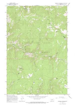
Bubbling Springs Topo Map Montana
To zoom in, hover over the map of Bubbling Springs
USGS Topo Quad 46110h8 - 1:24,000 scale
| Topo Map Name: | Bubbling Springs |
| USGS Topo Quad ID: | 46110h8 |
| Print Size: | ca. 21 1/4" wide x 27" high |
| Southeast Coordinates: | 46.875° N latitude / 110.875° W longitude |
| Map Center Coordinates: | 46.9375° N latitude / 110.9375° W longitude |
| U.S. State: | MT |
| Filename: | o46110h8.jpg |
| Download Map JPG Image: | Bubbling Springs topo map 1:24,000 scale |
| Map Type: | Topographic |
| Topo Series: | 7.5´ |
| Map Scale: | 1:24,000 |
| Source of Map Images: | United States Geological Survey (USGS) |
| Alternate Map Versions: |
Bubbling Springs MT 1967, updated 1969 Download PDF Buy paper map Bubbling Springs MT 1967, updated 1970 Download PDF Buy paper map Bubbling Springs MT 1995, updated 1997 Download PDF Buy paper map Bubbling Springs MT 2011 Download PDF Buy paper map Bubbling Springs MT 2014 Download PDF Buy paper map |
| FStopo: | US Forest Service topo Bubbling Springs is available: Download FStopo PDF Download FStopo TIF |
1:24,000 Topo Quads surrounding Bubbling Springs
> Back to 46110e1 at 1:100,000 scale
> Back to 46110a1 at 1:250,000 scale
> Back to U.S. Topo Maps home
Bubbling Springs topo map: Gazetteer
Bubbling Springs: Flats
Central Park elevation 2252m 7388′Crescent Park elevation 2197m 7208′
Deer Park elevation 2254m 7395′
Dry Park elevation 2268m 7440′
Iron Mines Park elevation 2237m 7339′
Island Park elevation 2282m 7486′
Link Park elevation 2181m 7155′
Williams Park elevation 2131m 6991′
Bubbling Springs: Parks
Tenderfoot Creek Experimental Forest elevation 2123m 6965′Bubbling Springs: Springs
Bubbling Springs elevation 2257m 7404′McKay Spring elevation 2126m 6975′
Bubbling Springs: Streams
Iron Mines Creek elevation 1840m 6036′Lonesome Creek elevation 1841m 6040′
Lost Stove Creek elevation 1750m 5741′
Placer Creek elevation 1768m 5800′
Stringer Creek elevation 1987m 6519′
Twin Cabins Creek elevation 1842m 6043′
Bubbling Springs: Summits
Green Mountain elevation 2296m 7532′Iron Mountain elevation 2367m 7765′
Williams Mountain elevation 2314m 7591′
Bubbling Springs digital topo map on disk
Buy this Bubbling Springs topo map showing relief, roads, GPS coordinates and other geographical features, as a high-resolution digital map file on DVD:


