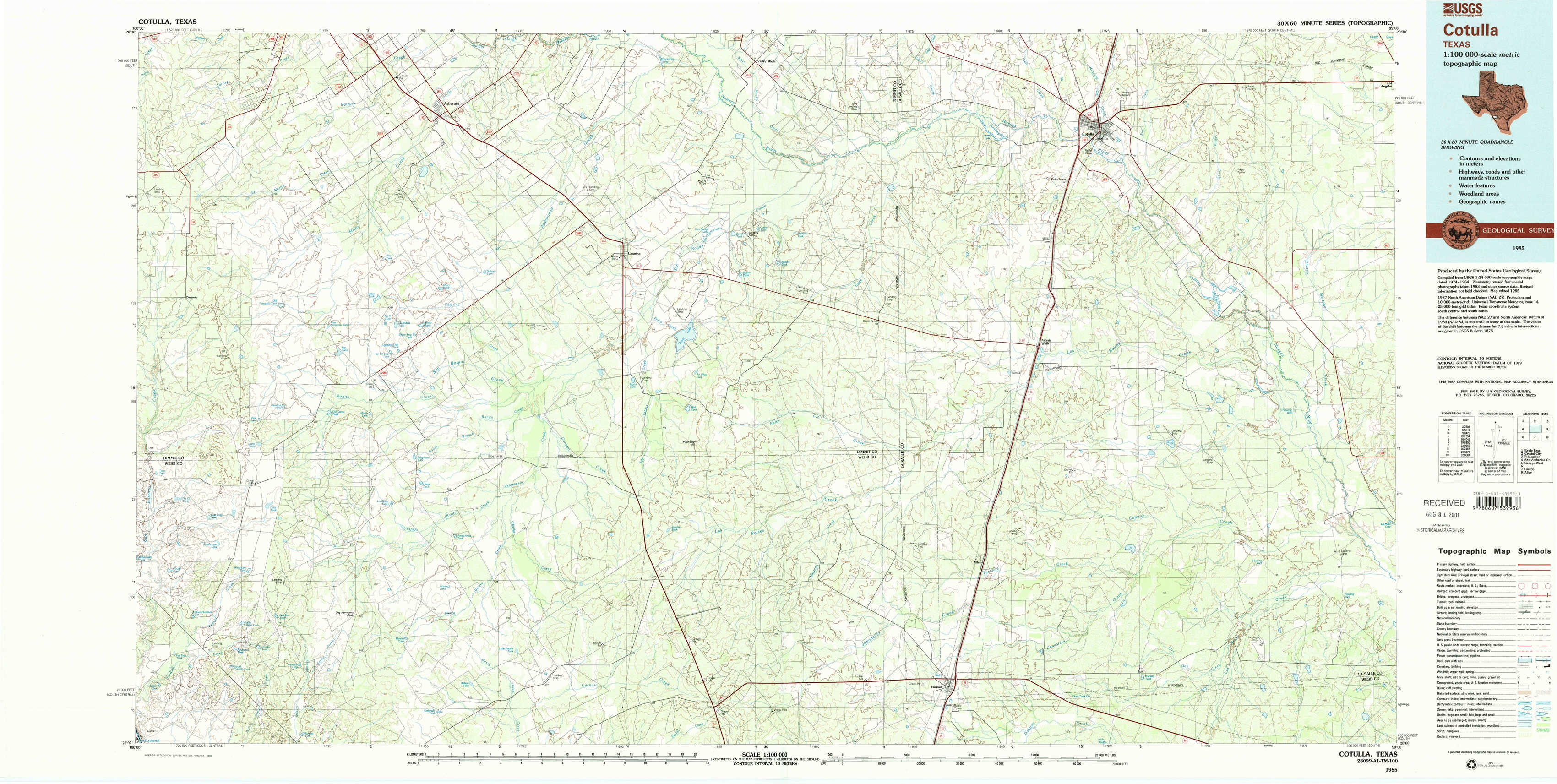
Cotulla Topo Map Texas
To zoom in, hover over the map of Cotulla
USGS Topo Map 28099a1 - 1:100,000 scale
| Topo Map Name: | Cotulla |
| USGS Topo Quad ID: | 28099a1 |
| Print Size: | ca. 39" wide x 24" high |
| Southeast Coordinates: | 28° N latitude / 99° W longitude |
| Map Center Coordinates: | 28.25° N latitude / 99.5° W longitude |
| U.S. State: | TX |
| Filename: | 28099a1.jpg |
| Download Map JPG Image: | Cotulla topo map 1:100,000 scale |
| Map Type: | Topographic |
| Topo Series: | 30´x60´ |
| Map Scale: | 1:100,000 |
| Source of Map Images: | United States Geological Survey (USGS) |
| Alternate Map Versions: |
Cotulla TX 1985, updated 1985 Download PDF Buy paper map Cotulla TX 1985, updated 1992 Download PDF Buy paper map |
1:100,000 Topos surrounding Cotulla
Eagle Pass |
Crystal City |
Pleasanton |
San Ambrosia Creek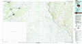 |
Cotulla |
George West |
Laredo |
Alice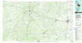 |
> Back to 28098a1 at 1:250,000 scale
> Back to U.S. Topo Maps home
1:24,000 Topo Quads covered by the spatial extent of this 100k map (Cotulla)
|
Asherton Nw 
|
Asherton 
|
Macdonald Lake 
|
Valley Wells 
|
Flying W Ranch 
|
Harris Lake 
|
Cotulla 
|
Los Angeles 
|
|
Dentonio 
|
Farias Tank 
|
Dabney Tank 
|
Catarina 
|
Blocker Tank 
|
Artesia Wells 
|
Holland Dam 
|
Charco Marrano Creek 
|
|
East Losa Tank 
|
Landrum Tank 
|
Velenzuela Creek 
|
Piloncillo Hill 
|
Mesteno Creek North 
|
Atlee 
|
Caiman Creek Nw 
|
Caiman Creek Ne 
|
|
Tordillo Creek 
|
Dos Hermanos Peaks 
|
Galvan Ranch 
|
Telephone Tanks 
|
Mesteno Creek South 
|
Encinal 
|
Live Oak Creek 
|
Caiman Creek Se 
|