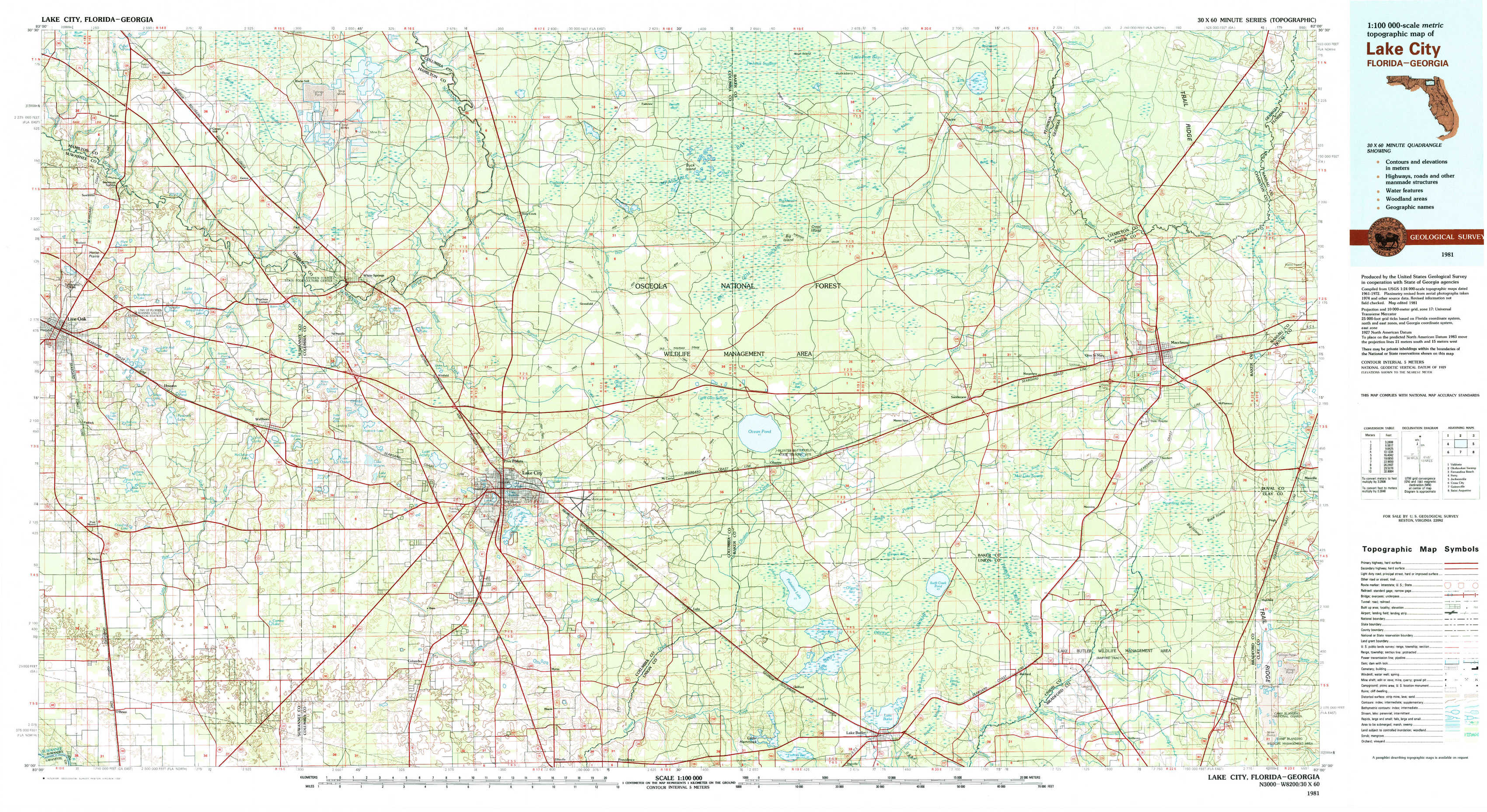
Lake City Topo Map Florida
To zoom in, hover over the map of Lake City
USGS Topo Map 30082a1 - 1:100,000 scale
| Topo Map Name: | Lake City |
| USGS Topo Quad ID: | 30082a1 |
| Print Size: | ca. 39" wide x 24" high |
| Southeast Coordinates: | 30° N latitude / 82° W longitude |
| Map Center Coordinates: | 30.25° N latitude / 82.5° W longitude |
| U.S. States: | FL, GA |
| Filename: | 30082a1.jpg |
| Download Map JPG Image: | Lake City topo map 1:100,000 scale |
| Map Type: | Topographic |
| Topo Series: | 30´x60´ |
| Map Scale: | 1:100,000 |
| Source of Map Images: | United States Geological Survey (USGS) |
| Alternate Map Versions: |
Lake City FL 1981, updated 1981 Download PDF Buy paper map Lake City FL 1981, updated 1981 Download PDF Buy paper map |
1:100,000 Topos surrounding Lake City
Valdosta |
Okefenokee Swamp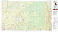 |
Fernandina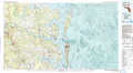 |
Perry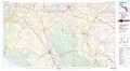 |
Lake City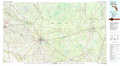 |
Jacksonville |
Cross City |
Gainesville |
Saint Augustine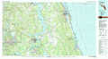 |
> Back to 30082a1 at 1:250,000 scale
> Back to U.S. Topo Maps home
1:24,000 Topo Quads covered by the spatial extent of this 100k map (Lake City)
|
Hillcoat 
|
Genoa 
|
Benton 
|
Fairview 
|
Sanderson Nw 
|
Taylor 
|
Macclenny Nw 
|
Macclenny Ne 
|
|
Live Oak East 
|
White Springs West 
|
White Springs East 
|
Deep Creek 
|
Big Gum Swamp 
|
Sanderson North 
|
Macclenny West 
|
Macclenny East 
|
|
Mcalpin 
|
Wellborn 
|
Lake City West 
|
Lake City East 
|
Olustee 
|
Sanderson South 
|
Manning 
|
Maxville 
|
|
O'Brien 
|
O'Brien Se 
|
Columbia 
|
Ellisville 
|
Lulu 
|
Lake Butler 
|
Raiford 
|
Lawtey 
|