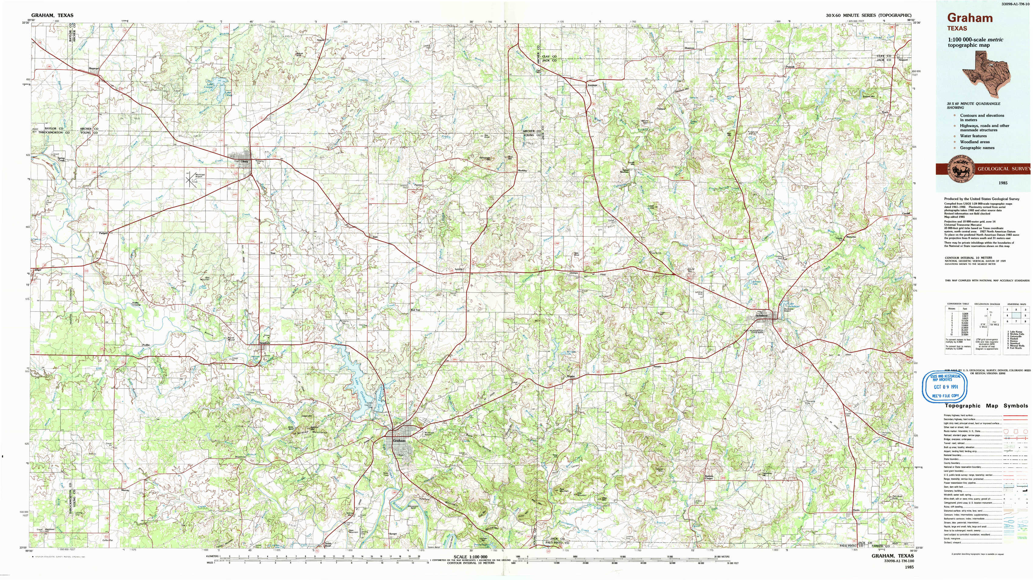
Graham Topo Map Texas
To zoom in, hover over the map of Graham
USGS Topo Map 33098a1 - 1:100,000 scale
| Topo Map Name: | Graham |
| USGS Topo Quad ID: | 33098a1 |
| Print Size: | ca. 39" wide x 24" high |
| Southeast Coordinates: | 33° N latitude / 98° W longitude |
| Map Center Coordinates: | 33.25° N latitude / 98.5° W longitude |
| U.S. State: | TX |
| Filename: | 33098a1.jpg |
| Download Map JPG Image: | Graham topo map 1:100,000 scale |
| Map Type: | Topographic |
| Topo Series: | 30´x60´ |
| Map Scale: | 1:100,000 |
| Source of Map Images: | United States Geological Survey (USGS) |
| Alternate Map Versions: |
Graham TX 1985, updated 1985 Download PDF Buy paper map Graham TX 1985, updated 1991 Download PDF Buy paper map |
1:100,000 Topos surrounding Graham
Lake Kemp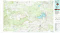 |
Wichita Falls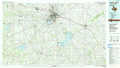 |
Gainesville |
Haskell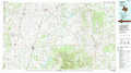 |
Graham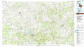 |
Denton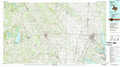 |
Stamford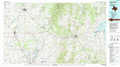 |
Mineral Wells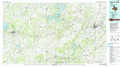 |
Fort Worth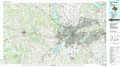 |
> Back to 33098a1 at 1:250,000 scale
> Back to U.S. Topo Maps home
1:24,000 Topo Quads covered by the spatial extent of this 100k map (Graham)
|
Megargel 
|
Lake Olney 
|
Bobcat Bluff 
|
Prickly Pear Branch 
|
Darnell Branch 
|
Antelope 
|
Postoak 
|
Newport 
|
|
Padgett 
|
Olney 
|
True 
|
Loving 
|
Markley 
|
Lynn Creek 
|
Johnson Lake 
|
Cundiff 
|
|
Proffitt Crossing 
|
Proffitt 
|
Newcastle 
|
Lake Eddleman 
|
Bryson 
|
Senate 
|
Jacksboro 
|
Jacksboro Ne 
|
|
Murray 
|
Tackett Mountain 
|
South Bend 
|
Graham 
|
Ross Mountain 
|
Long Hollow 
|
Bartons Chapel 
|
Perrin 
|