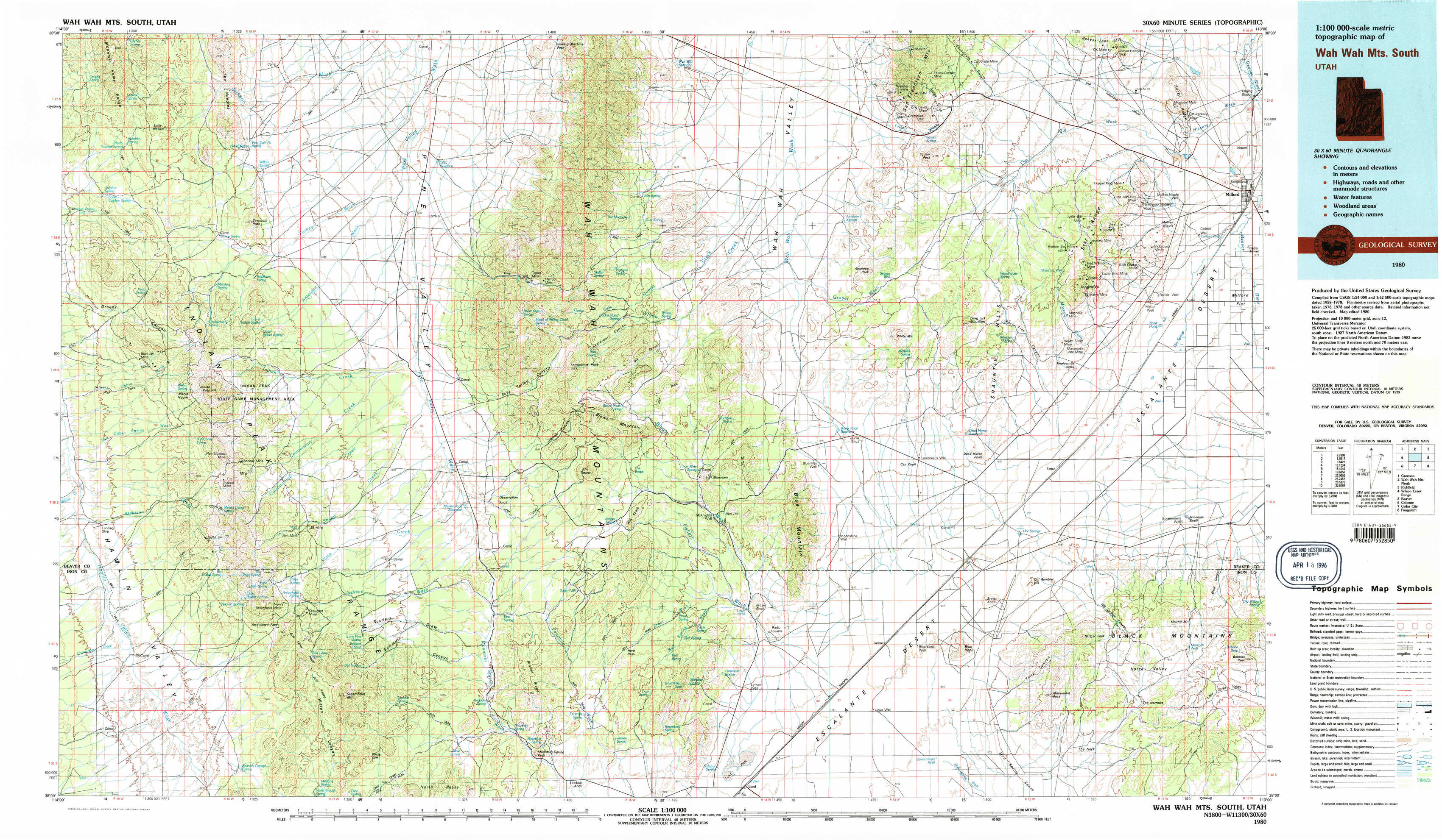
Wah Wah Mountains South Topo Map Utah
To zoom in, hover over the map of Wah Wah Mountains South
USGS Topo Map 38113a1 - 1:100,000 scale
| Topo Map Name: | Wah Wah Mountains South |
| USGS Topo Quad ID: | 38113a1 |
| Print Size: | ca. 39" wide x 24" high |
| Southeast Coordinates: | 38° N latitude / 113° W longitude |
| Map Center Coordinates: | 38.25° N latitude / 113.5° W longitude |
| U.S. State: | UT |
| Filename: | 38113a1.jpg |
| Download Map JPG Image: | Wah Wah Mountains South topo map 1:100,000 scale |
| Map Type: | Topographic |
| Topo Series: | 30´x60´ |
| Map Scale: | 1:100,000 |
| Source of Map Images: | United States Geological Survey (USGS) |
| Alternate Map Versions: |
Wah Wah Mts. South UT 1980, updated 1984 Download PDF Buy paper map Wah Wah Mts. South UT 1980, updated 1984 Download PDF Buy paper map |
1:100,000 Topos surrounding Wah Wah Mountains South
Garrison |
Wah Wah Mountains North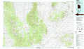 |
Richfield |
Wilson Creek Range |
Wah Wah Mountains South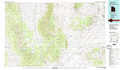 |
Beaver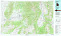 |
Caliente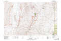 |
Cedar City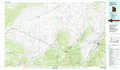 |
Panguitch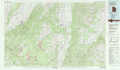 |
> Back to 38112a1 at 1:250,000 scale
> Back to U.S. Topo Maps home
1:24,000 Topo Quads covered by the spatial extent of this 100k map (Wah Wah Mountains South)
|
Lopers Spring 
|
Sawtooth Peak 
|
Lamerdorf Peak Nw 
|
Sewing Machine Pass 
|
Wallaces Peak 
|
Frisco 
|
Milford Nw 
|
Milford 
|
|
Miners Cabin Wash 
|
Buckhorn Spring 
|
Pine Grove Reservoir 
|
Lamerdorf Peak 
|
Frisco Sw 
|
White Mountain 
|
Picacho Peak 
|
Milford Flat 
|
|
Atchison Creek 
|
Pinto Spring 
|
Observation Knoll 
|
The Tetons 
|
Blue Mountain 
|
Burns Knoll 
|
Thermo 
|
Ninemile Knoll 
|
|
Steamboat Mountain Sw 
|
Steamboat Mountain 
|
Bible Spring 
|
Mountain Spring Peak 
|
Lund 
|
Latimer 
|
Badger Peak 
|
Baboon Peak 
|