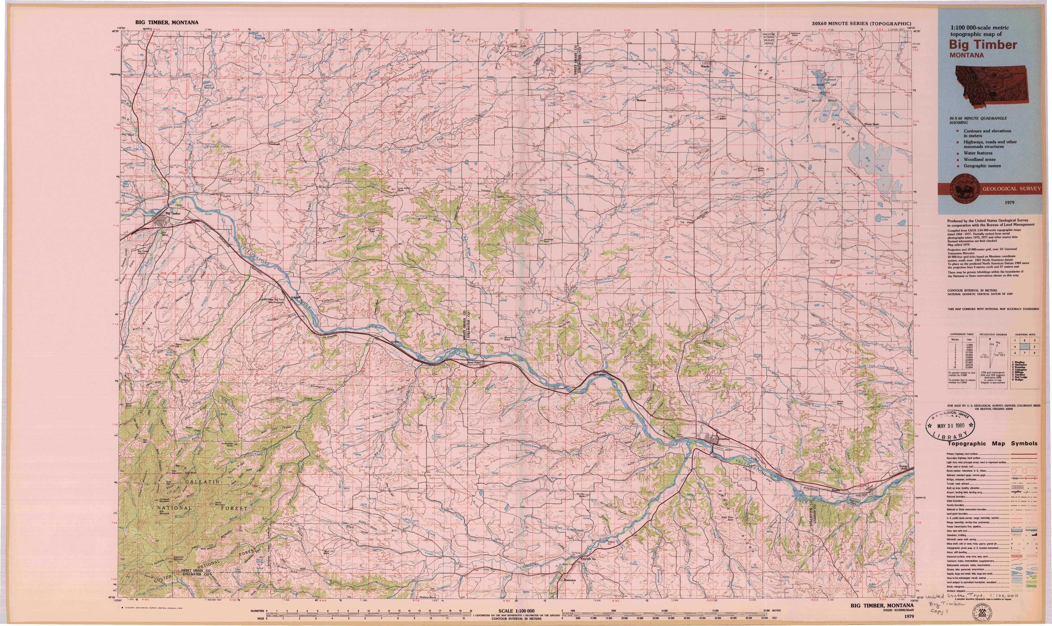
Big Timber Topo Map Montana
To zoom in, hover over the map of Big Timber
USGS Topo Map 45109e1 - 1:100,000 scale
| Topo Map Name: | Big Timber |
| USGS Topo Quad ID: | 45109e1 |
| Print Size: | ca. 39" wide x 24" high |
| Southeast Coordinates: | 45.5° N latitude / 109° W longitude |
| Map Center Coordinates: | 45.75° N latitude / 109.5° W longitude |
| U.S. State: | MT |
| Filename: | 45109e1.jpg |
| Download Map JPG Image: | Big Timber topo map 1:100,000 scale |
| Map Type: | Topographic |
| Topo Series: | 30´x60´ |
| Map Scale: | 1:100,000 |
| Source of Map Images: | United States Geological Survey (USGS) |
| Alternate Map Versions: | none available in database |
1:100,000 Topos surrounding Big Timber
Ringling |
Harlowton |
Roundup |
Livingston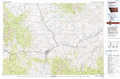 |
Big Timber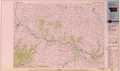 |
Billings |
Gardiner |
Red Lodge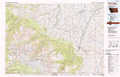 |
Bridger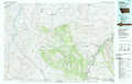 |
> Back to 45108a1 at 1:250,000 scale
> Back to U.S. Topo Maps home
1:24,000 Topo Quads covered by the spatial extent of this 100k map (Big Timber)
|
Otter Creek School 
|
Ryan Creek 
|
Sourdough School 
|
Stephens Hill Ne 
|
Russell Gulch 
|
Rapelje 
|
Battle Butte 
|
Wheat Basin 
|
|
Big Timber 
|
Greycliff 
|
Lone Indian Butte 
|
Stephens Hill 
|
Antelope Point 
|
Lindemulder Hill 
|
Wheat Basin Sw 
|
Hunter Lake 
|
|
Ross Canyon 
|
Packsaddle Butte 
|
Work Creek 
|
Reed Point 
|
Springtime 
|
Columbus West 
|
Columbus East 
|
Horse Butte 
|
|
Sliderock Mountain 
|
Wildcat Draw 
|
Cow Face Hill 
|
Sandborn Creek 
|
Absarokee 
|
Whitebird School 
|
Shane Ridge 
|
Rapids 
|