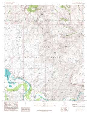
Meddler Wash Topo Map Arizona
To zoom in, hover over the map of Meddler Wash
USGS Topo Quad 33110f8 - 1:24,000 scale
| Topo Map Name: | Meddler Wash |
| USGS Topo Quad ID: | 33110f8 |
| Print Size: | ca. 21 1/4" wide x 27" high |
| Southeast Coordinates: | 33.625° N latitude / 110.875° W longitude |
| Map Center Coordinates: | 33.6875° N latitude / 110.9375° W longitude |
| U.S. State: | AZ |
| Filename: | o33110f8.jpg |
| Download Map JPG Image: | Meddler Wash topo map 1:24,000 scale |
| Map Type: | Topographic |
| Topo Series: | 7.5´ |
| Map Scale: | 1:24,000 |
| Source of Map Images: | United States Geological Survey (USGS) |
| Alternate Map Versions: |
Meddler Wash AZ 1986, updated 1986 Download PDF Buy paper map Meddler Wash AZ 2004, updated 2007 Download PDF Buy paper map Meddler Wash AZ 2011 Download PDF Buy paper map Meddler Wash AZ 2014 Download PDF Buy paper map |
| FStopo: | US Forest Service topo Meddler Wash is available: Download FStopo PDF Download FStopo TIF |
1:24,000 Topo Quads surrounding Meddler Wash
> Back to 33110e1 at 1:100,000 scale
> Back to 33110a1 at 1:250,000 scale
> Back to U.S. Topo Maps home
Meddler Wash topo map: Gazetteer
Meddler Wash: Bays
Campaign Bay elevation 644m 2112′Meddler Wash: Capes
Meddler Point elevation 678m 2224′Meddler Wash: Flats
Cottonwood Acre elevation 653m 2142′Meddler Wash: Populated Places
Willow elevation 904m 2965′Meddler Wash: Reservoirs
Black Mesa Tank Number One elevation 1212m 3976′Black Mesa Tank Number Two elevation 1272m 4173′
Chalk Creek Tank elevation 973m 3192′
Chalk Tank elevation 969m 3179′
Cholla Ridge Tank elevation 800m 2624′
Double Grantham Tank elevation 1415m 4642′
Nash Creek Reservoir elevation 683m 2240′
Oak Creek Tank elevation 1355m 4445′
Roadrunner Tank elevation 839m 2752′
Spring Creek Flat Tank elevation 729m 2391′
White Ridge Tank elevation 1214m 3982′
Meddler Wash: Springs
Hackberry Spring elevation 1072m 3517′Tin Shack Spring elevation 792m 2598′
Willow Spring elevation 917m 3008′
Meddler Wash: Streams
Braddock Creek elevation 714m 2342′Griffin Wash elevation 647m 2122′
Meddler Wash elevation 654m 2145′
Nail Creek elevation 690m 2263′
Oak Creek elevation 1042m 3418′
Pinto Creek elevation 675m 2214′
Walnut Creek elevation 756m 2480′
Warm Creek elevation 817m 2680′
Meddler Wash: Summits
Black Mesa elevation 1322m 4337′Hackberry Mountain elevation 1371m 4498′
Meddler Wash: Valleys
First Water Canyon elevation 1133m 3717′Hog Canyon elevation 1053m 3454′
Meddler Wash: Wells
Bar Eleven Well elevation 761m 2496′Chalk Creek Well elevation 907m 2975′
Hackberry Wash Well elevation 787m 2582′
Jackson Well elevation 842m 2762′
Meddler Wash Well elevation 902m 2959′
Meddler Wash digital topo map on disk
Buy this Meddler Wash topo map showing relief, roads, GPS coordinates and other geographical features, as a high-resolution digital map file on DVD:


