Liebre Mountain Topo Map California
To zoom in, hover over the map of Liebre Mountain
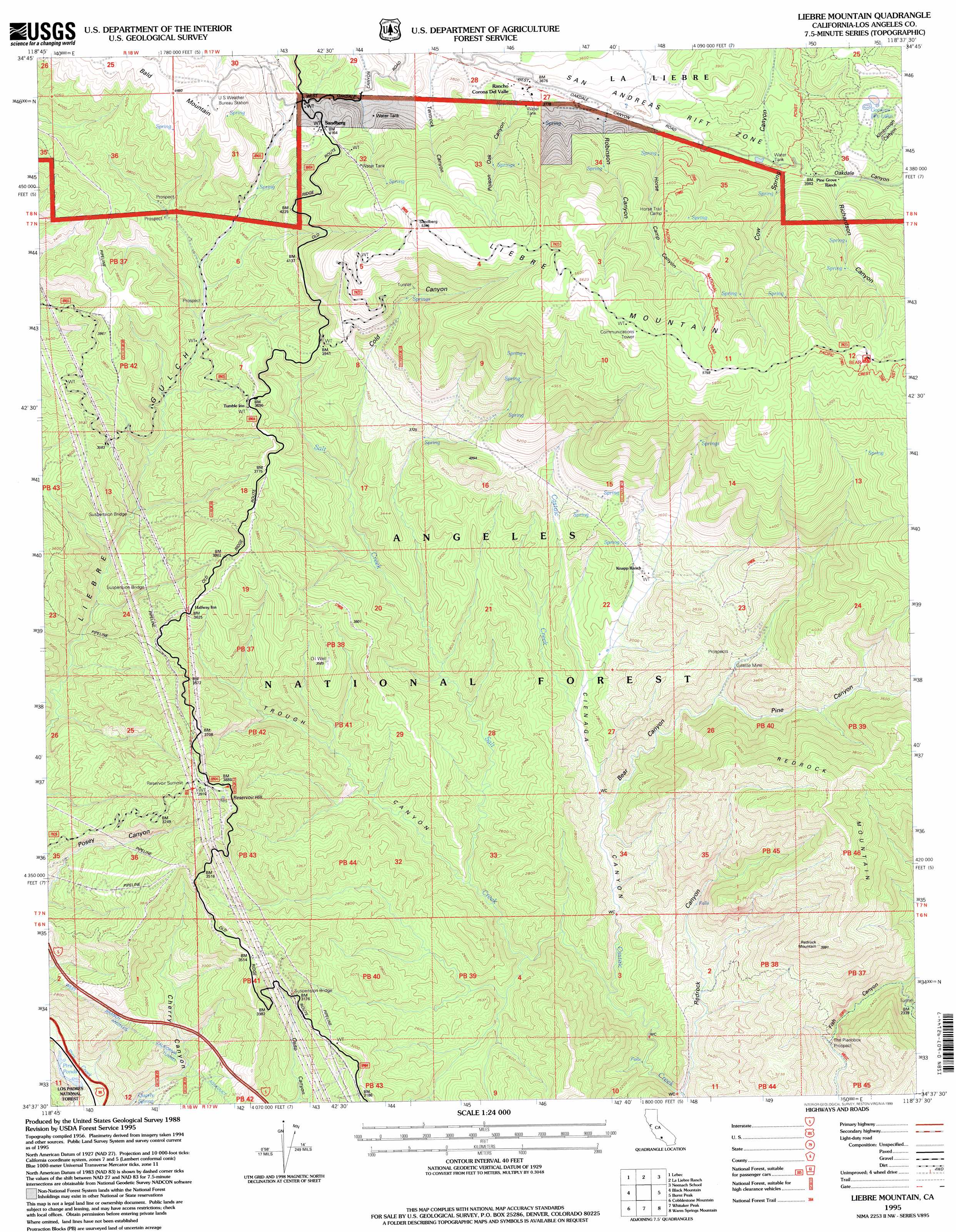
USGS Topo Quad 34118f6 - 1:24,000 scale
| Topo Map Name: | Liebre Mountain |
| USGS Topo Quad ID: | 34118f6 |
| Print Size: | ca. 21 1/4" wide x 27" high |
| Southeast Coordinates: | 34.625° N latitude / 118.625° W longitude |
| Map Center Coordinates: | 34.6875° N latitude / 118.6875° W longitude |
| U.S. State: | CA |
| Filename: | o34118f6.jpg |
| Download Map JPG Image: | Liebre Mountain topo map 1:24,000 scale |
| Map Type: | Topographic |
| Topo Series: | 7.5´ |
| Map Scale: | 1:24,000 |
| Source of Map Images: | United States Geological Survey (USGS) |
| Alternate Map Versions: |
Liebre Mountain CA 1958, updated 1959 Download PDF Buy paper map Liebre Mountain CA 1958, updated 1964 Download PDF Buy paper map Liebre Mountain CA 1958, updated 1975 Download PDF Buy paper map Liebre Mountain CA 1958, updated 1988 Download PDF Buy paper map Liebre Mountain CA 1995, updated 1999 Download PDF Buy paper map Liebre Mountain CA 2012 Download PDF Buy paper map Liebre Mountain CA 2015 Download PDF Buy paper map |
| FStopo: | US Forest Service topo Liebre Mountain is available: Download FStopo PDF Download FStopo TIF |
1:24,000 Topo Quads surrounding Liebre Mountain
Grapevine |
Pastoria Creek |
Winters Ridge |
Liebre Twins |
Tylerhorse Canyon |
Frazier Mountain |
Lebec |
La Liebre Ranch |
Neenach School |
Fairmont Butte |
Alamo Mountain |
Black Mountain |
Liebre Mountain |
Burnt Peak |
Lake Hughes |
Devils Heart Peak |
Cobblestone Mountain |
Whitaker Peak |
Warm Springs Mountain |
Green Valley |
Fillmore |
Piru |
Val Verde |
Newhall |
Mint Canyon |
> Back to 34118e1 at 1:100,000 scale
> Back to 34118a1 at 1:250,000 scale
> Back to U.S. Topo Maps home
Liebre Mountain topo map: Gazetteer
Liebre Mountain: Lakes
Gookins Dry Lake elevation 1163m 3815′Liebre Mountain: Mines
Gillette Mine elevation 894m 2933′The Pianobox Prospect elevation 683m 2240′
Liebre Mountain: Populated Places
Sandberg elevation 1269m 4163′Liebre Mountain: Springs
Quarry Spring elevation 672m 2204′Liebre Mountain: Streams
Salt Creek elevation 640m 2099′Liebre Mountain: Summits
Bald Mountain elevation 1380m 4527′Liebre Mountain elevation 1758m 5767′
Redrock Mountain elevation 1355m 4445′
Reservoir Hill elevation 1185m 3887′
Reservoir Summit elevation 1213m 3979′
Liebre Mountain: Trails
Horse Trail elevation 1628m 5341′Liebre Mountain: Tunnels
Angeles Tunnel elevation 904m 2965′Liebre Mountain: Valleys
Bear Canyon elevation 731m 2398′Burro Canyon elevation 705m 2312′
Cienaga Canyon elevation 633m 2076′
Cold Canyon elevation 956m 3136′
Pine Canyon elevation 865m 2837′
Poison Oak Canyon elevation 1135m 3723′
Richardson Canyon elevation 1154m 3786′
Robinson Canyon elevation 1164m 3818′
Trough Canyon elevation 710m 2329′
Liebre Mountain digital topo map on disk
Buy this Liebre Mountain topo map showing relief, roads, GPS coordinates and other geographical features, as a high-resolution digital map file on DVD: