Pleasant Hill Topo Map Tennessee
To zoom in, hover over the map of Pleasant Hill
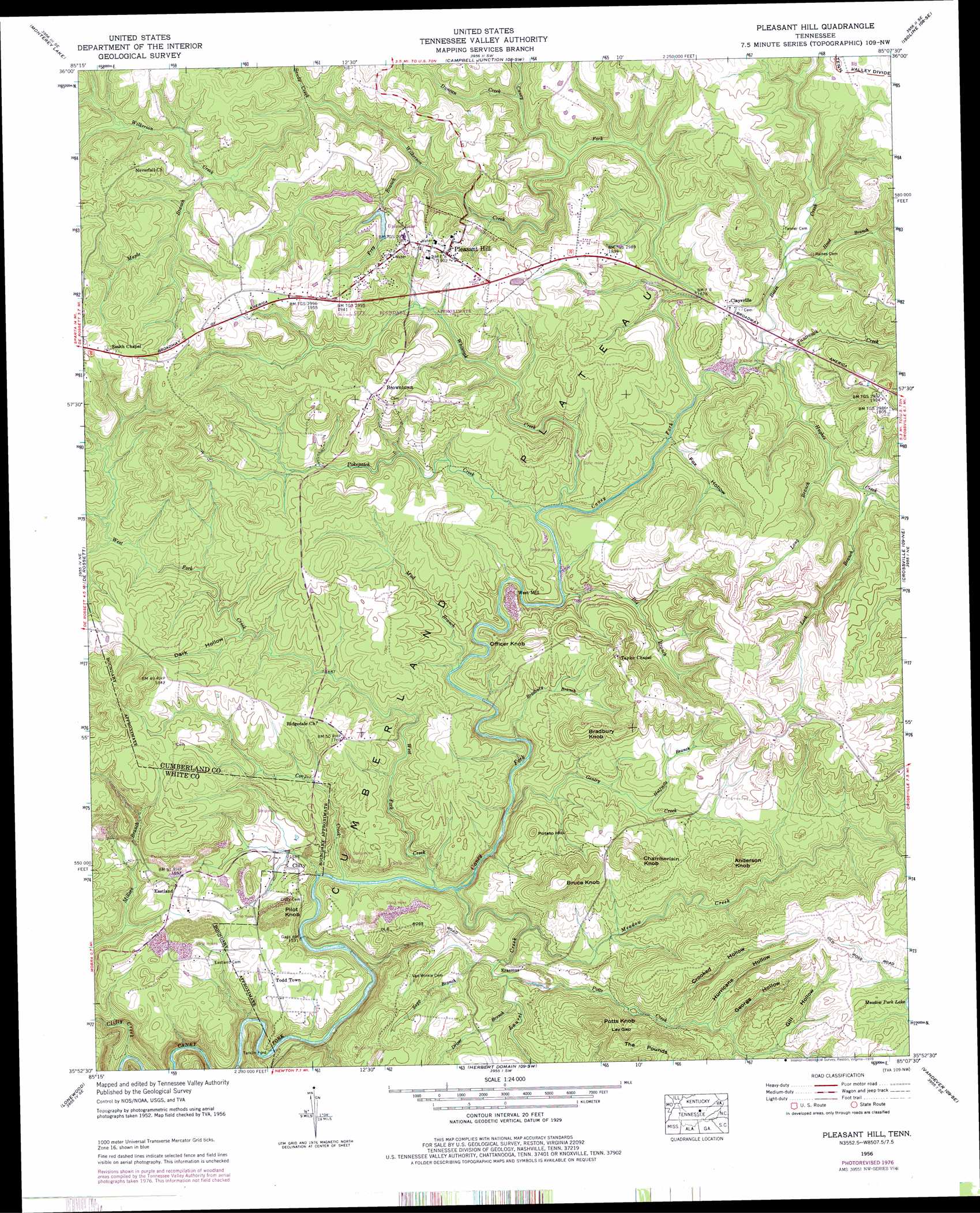
USGS Topo Quad 35085h2 - 1:24,000 scale
| Topo Map Name: | Pleasant Hill |
| USGS Topo Quad ID: | 35085h2 |
| Print Size: | ca. 21 1/4" wide x 27" high |
| Southeast Coordinates: | 35.875° N latitude / 85.125° W longitude |
| Map Center Coordinates: | 35.9375° N latitude / 85.1875° W longitude |
| U.S. State: | TN |
| Filename: | o35085h2.jpg |
| Download Map JPG Image: | Pleasant Hill topo map 1:24,000 scale |
| Map Type: | Topographic |
| Topo Series: | 7.5´ |
| Map Scale: | 1:24,000 |
| Source of Map Images: | United States Geological Survey (USGS) |
| Alternate Map Versions: |
Pleasant Hill TN 1956, updated 1958 Download PDF Buy paper map Pleasant Hill TN 1956, updated 1973 Download PDF Buy paper map Pleasant Hill TN 1956, updated 1978 Download PDF Buy paper map Pleasant Hill TN 2010 Download PDF Buy paper map Pleasant Hill TN 2013 Download PDF Buy paper map Pleasant Hill TN 2016 Download PDF Buy paper map |
1:24,000 Topo Quads surrounding Pleasant Hill
Cookeville East |
Monterey |
Obey City |
Clarkrange |
Jones Knob |
Dry Valley |
Monterey Lake |
Campbell Junction |
Isoline |
Fox Creek |
Sparta |
De Rossett |
Pleasant Hill |
Crossville |
Dorton |
Bald Knob |
Lonewood |
Herbert Domain |
Vandever |
Grassy Cove |
Spencer |
Sampson |
Billingsley Gap |
Melvine |
Pennine |
> Back to 35085e1 at 1:100,000 scale
> Back to 35084a1 at 1:250,000 scale
> Back to U.S. Topo Maps home
Pleasant Hill topo map: Gazetteer
Pleasant Hill: Crossings
Tarkiln Ford elevation 449m 1473′Pleasant Hill: Dams
Lake Alice Dam elevation 550m 1804′Lake Laura Dam elevation 542m 1778′
Pleasant Hill: Falls
Pilot Falls elevation 465m 1525′Pleasant Hill: Gaps
Lay Gap elevation 571m 1873′Pleasant Hill: Mines
Braceburn Mine elevation 531m 1742′Clifty Number One Mine elevation 500m 1640′
Clifty Number Three Mine elevation 501m 1643′
Pleasant Hill: Populated Places
Browntown elevation 593m 1945′Caney Forks elevation 569m 1866′
Claysville elevation 529m 1735′
Clifty elevation 488m 1601′
Eastland elevation 503m 1650′
Erasmus elevation 491m 1610′
Hickory Hills elevation 581m 1906′
Highland Estates elevation 537m 1761′
Neverfail (historical) elevation 594m 1948′
Pinedale elevation 520m 1706′
Pleasant Hill elevation 578m 1896′
Ridgedale elevation 538m 1765′
Smith Chapel elevation 610m 2001′
Taylors Chapel elevation 571m 1873′
The Meadows elevation 562m 1843′
Todd Town elevation 505m 1656′
West Mill elevation 515m 1689′
White Oak Forest elevation 580m 1902′
Pleasant Hill: Reservoirs
Lake Alice elevation 550m 1804′Upland Lake elevation 542m 1778′
Pleasant Hill: Streams
Beam Creek elevation 499m 1637′Big Branch elevation 499m 1637′
Bradbury Branch elevation 479m 1571′
Clifty Creek elevation 388m 1272′
Cooper Creek elevation 467m 1532′
Driver Branch elevation 487m 1597′
Duncan Creek elevation 511m 1676′
Fox Hollow Branch elevation 499m 1637′
Frey Branch elevation 523m 1715′
Gentry Creek elevation 474m 1555′
Halfmile Branch elevation 510m 1673′
Hood Branch elevation 508m 1666′
Hughes Creek elevation 506m 1660′
Laurel Creek elevation 468m 1535′
Lick Branch elevation 512m 1679′
Long Branch elevation 511m 1676′
Maple Branch elevation 540m 1771′
Meadow Creek elevation 480m 1574′
Mud Branch elevation 493m 1617′
Pokepatch Creek elevation 499m 1637′
Potts Creek elevation 487m 1597′
Sandy Creek elevation 536m 1758′
Sapp Branch elevation 487m 1597′
Tantrough Creek elevation 506m 1660′
West Fork Creek elevation 468m 1535′
Whiteoak Creek elevation 499m 1637′
Wilkerson Creek elevation 553m 1814′
Pleasant Hill: Summits
Anderson Knob elevation 595m 1952′Bradbury Knob elevation 580m 1902′
Bruce Knob elevation 592m 1942′
Chamberlain Knob elevation 591m 1938′
Officer Knob elevation 566m 1856′
Pilot Knob elevation 550m 1804′
Potato Hill elevation 559m 1833′
Potts Knob elevation 617m 2024′
Pleasant Hill: Valleys
Crooked Hollow elevation 523m 1715′Dark Hollow elevation 517m 1696′
Fox Hollow elevation 502m 1646′
George Hollow elevation 535m 1755′
Gill Hollow elevation 542m 1778′
Hurricane Hollow elevation 529m 1735′
Stone Mill Hollow elevation 512m 1679′
Pleasant Hill digital topo map on disk
Buy this Pleasant Hill topo map showing relief, roads, GPS coordinates and other geographical features, as a high-resolution digital map file on DVD: