Canyon School Topo Map Texas
To zoom in, hover over the map of Canyon School
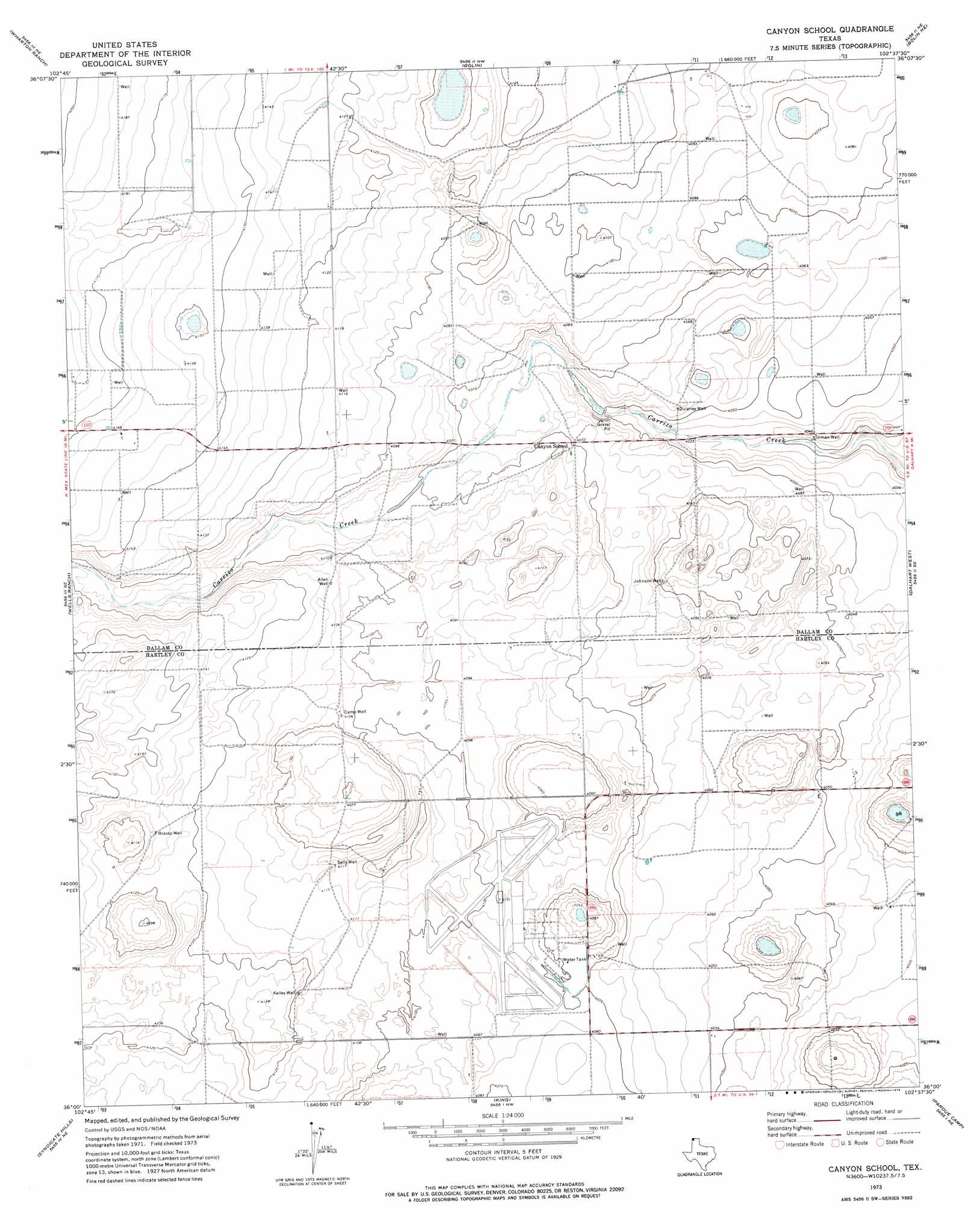
USGS Topo Quad 36102a6 - 1:24,000 scale
| Topo Map Name: | Canyon School |
| USGS Topo Quad ID: | 36102a6 |
| Print Size: | ca. 21 1/4" wide x 27" high |
| Southeast Coordinates: | 36° N latitude / 102.625° W longitude |
| Map Center Coordinates: | 36.0625° N latitude / 102.6875° W longitude |
| U.S. State: | TX |
| Filename: | o36102a6.jpg |
| Download Map JPG Image: | Canyon School topo map 1:24,000 scale |
| Map Type: | Topographic |
| Topo Series: | 7.5´ |
| Map Scale: | 1:24,000 |
| Source of Map Images: | United States Geological Survey (USGS) |
| Alternate Map Versions: |
Canyon School TX 1973, updated 1975 Download PDF Buy paper map Canyon School TX 2010 Download PDF Buy paper map Canyon School TX 2012 Download PDF Buy paper map Canyon School TX 2016 Download PDF Buy paper map |
1:24,000 Topo Quads surrounding Canyon School
Corlena |
Perico |
Tovrea Ranch |
Pritchard Ranch |
Stratford 2 Sw |
Windy Hill Nw |
Wharton Ranch |
Bolin |
Bolin Ne |
Chamberlin |
Windy Hill |
Wells Ranch |
Canyon School |
Dalhart West |
Dalhart East |
Beck Ranch |
Syndicate Hills |
King |
Pardue Camp |
Hartley |
Whiteaker Ranch |
Middle Water |
King Sw |
King Se |
Hartley Sw |
> Back to 36102a1 at 1:100,000 scale
> Back to 36102a1 at 1:250,000 scale
> Back to U.S. Topo Maps home
Canyon School topo map: Gazetteer
Canyon School: Wells
Allen Well elevation 1254m 4114′Brasso Well elevation 1261m 4137′
Camp Well elevation 1252m 4107′
Dulaney Well elevation 1238m 4061′
Inman Well elevation 1230m 4035′
Johnson Well elevation 1232m 4041′
Kelley Well elevation 1257m 4124′
Sells Well elevation 1255m 4117′
Canyon School digital topo map on disk
Buy this Canyon School topo map showing relief, roads, GPS coordinates and other geographical features, as a high-resolution digital map file on DVD: