Touhy Topo Map Nebraska
To zoom in, hover over the map of Touhy
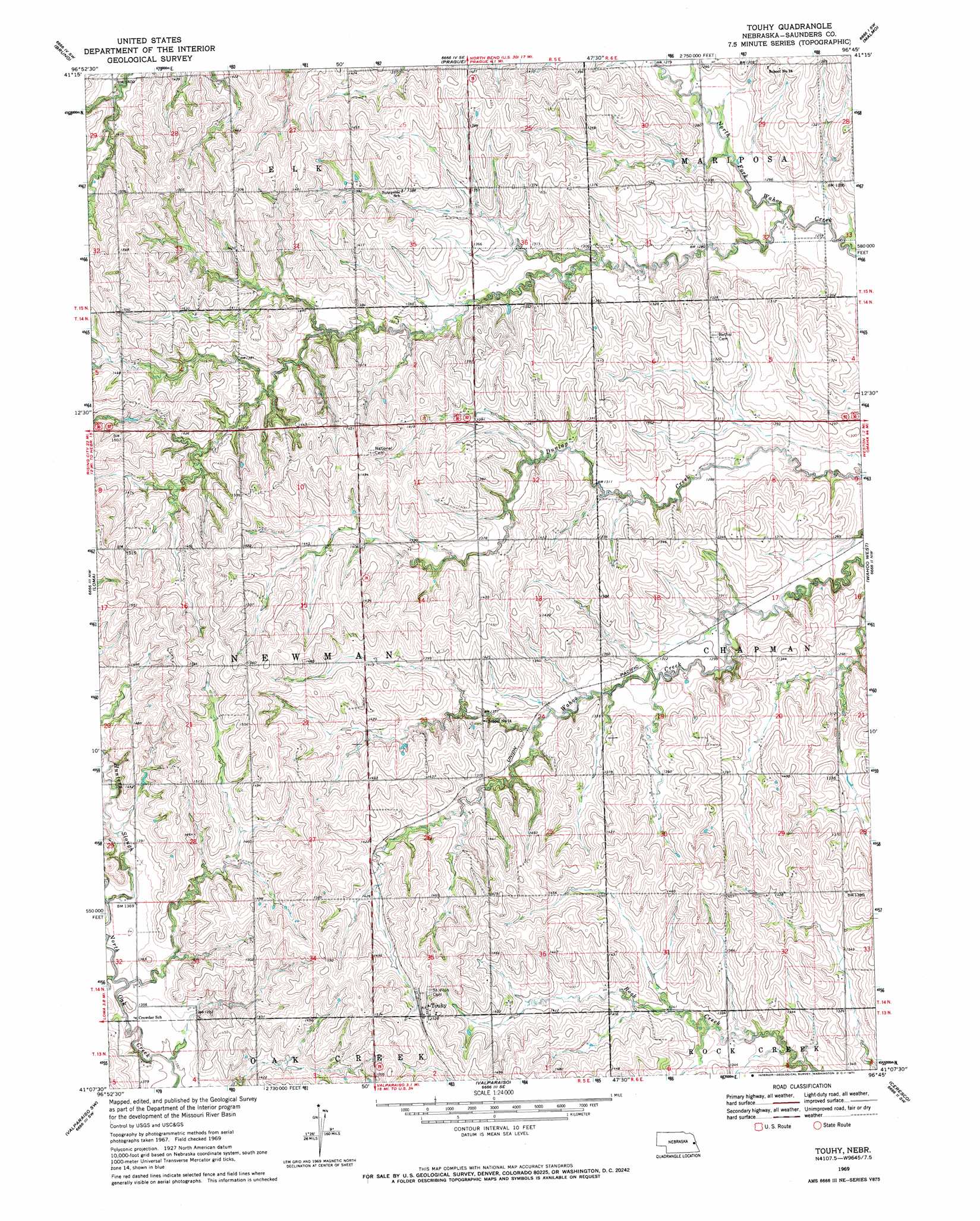
USGS Topo Quad 41096b7 - 1:24,000 scale
| Topo Map Name: | Touhy |
| USGS Topo Quad ID: | 41096b7 |
| Print Size: | ca. 21 1/4" wide x 27" high |
| Southeast Coordinates: | 41.125° N latitude / 96.75° W longitude |
| Map Center Coordinates: | 41.1875° N latitude / 96.8125° W longitude |
| U.S. State: | NE |
| Filename: | O41096B7.jpg |
| Download Map JPG Image: | Touhy topo map 1:24,000 scale |
| Map Type: | Topographic |
| Topo Series: | 7.5´ |
| Map Scale: | 1:24,000 |
| Source of Map Images: | United States Geological Survey (USGS) |
| Alternate Map Versions: |
Touhy NE 1969, updated 1971 Download PDF Buy paper map Touhy NE 2011 Download PDF Buy paper map Touhy NE 2014 Download PDF Buy paper map |
1:24,000 Topo Quads surrounding Touhy
Schuyler |
Rogers |
North Bend |
Malmo Nw |
Fremont West |
David City East |
Bruno |
Prague |
Malmo |
Colon |
Brainard |
Loma |
Touhy |
Wahoo West |
Wahoo East |
Dwight |
Valparaiso Sw |
Valparaiso |
Ceresco |
Wahoo Se |
Seward |
Garland |
Raymond |
Davey |
Waverly |
> Back to 41096a1 at 1:100,000 scale
> Back to 41096a1 at 1:250,000 scale
> Back to U.S. Topo Maps home
Touhy topo map: Gazetteer
Touhy: Populated Places
Touhy elevation 464m 1522′Touhy: Post Offices
Touhy Post Office (historical) elevation 464m 1522′Touhy: Streams
Hunters Slough elevation 411m 1348′North Oak Creek elevation 407m 1335′
Touhy digital topo map on disk
Buy this Touhy topo map showing relief, roads, GPS coordinates and other geographical features, as a high-resolution digital map file on DVD: