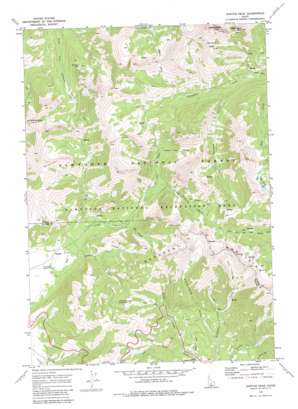
Horton Peak Topo Map Idaho
To zoom in, hover over the map of Horton Peak
USGS Topo Quad 43114h6 - 1:24,000 scale
| Topo Map Name: | Horton Peak |
| USGS Topo Quad ID: | 43114h6 |
| Print Size: | ca. 21 1/4" wide x 27" high |
| Southeast Coordinates: | 43.875° N latitude / 114.625° W longitude |
| Map Center Coordinates: | 43.9375° N latitude / 114.6875° W longitude |
| U.S. State: | ID |
| Filename: | o43114h6.jpg |
| Download Map JPG Image: | Horton Peak topo map 1:24,000 scale |
| Map Type: | Topographic |
| Topo Series: | 7.5´ |
| Map Scale: | 1:24,000 |
| Source of Map Images: | United States Geological Survey (USGS) |
| Alternate Map Versions: |
Horton Peak ID 1970, updated 1973 Download PDF Buy paper map Horton Peak ID 1970, updated 1983 Download PDF Buy paper map Horton Peak ID 1970, updated 1983 Download PDF Buy paper map Horton Peak ID 2011 Download PDF Buy paper map Horton Peak ID 2013 Download PDF Buy paper map |
| FStopo: | US Forest Service topo Horton Peak is available: Download FStopo PDF Download FStopo TIF |
1:24,000 Topo Quads surrounding Horton Peak
> Back to 43114e1 at 1:100,000 scale
> Back to 43114a1 at 1:250,000 scale
> Back to U.S. Topo Maps home
Horton Peak topo map: Gazetteer
Horton Peak: Basins
Germania Basin elevation 2894m 9494′Horton Peak: Lakes
Deer Lakes elevation 2915m 9563′Governors Punchbowl elevation 2634m 8641′
Rainbow Lake elevation 2596m 8517′
Horton Peak: Streams
Horse Creek elevation 2258m 7408′Rainbow Creek elevation 2245m 7365′
Three Cabins Creek elevation 2382m 7814′
Twin Creek elevation 2273m 7457′
Horton Peak: Summits
Bible Back Mountain elevation 3013m 9885′Croesus Peak elevation 3113m 10213′
Horton Peak elevation 3015m 9891′
Horton Peak: Valleys
Dry Canyon elevation 2316m 7598′Emma Gulch elevation 2256m 7401′
Enid Gulch elevation 2243m 7358′
Galena Gulch elevation 2401m 7877′
Grand Prize Canyon elevation 2427m 7962′
Grand Prize Gulch elevation 2367m 7765′
Westernhome Gulch elevation 2251m 7385′
Horton Peak digital topo map on disk
Buy this Horton Peak topo map showing relief, roads, GPS coordinates and other geographical features, as a high-resolution digital map file on DVD:


