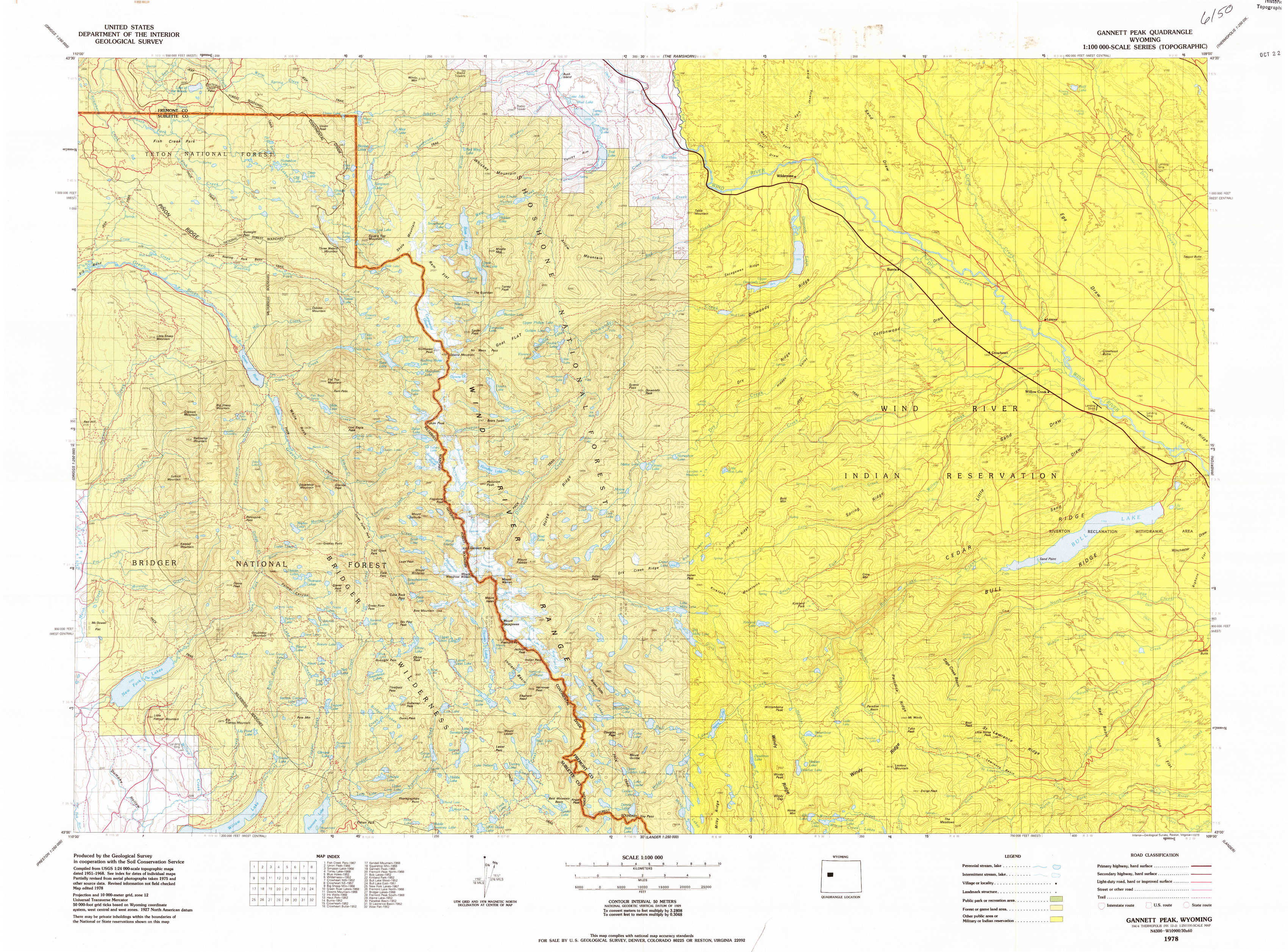
Gannett Peak Topo Map Wyoming
To zoom in, hover over the map of Gannett Peak
USGS Topo Map 43109a1 - 1:100,000 scale
| Topo Map Name: | Gannett Peak |
| USGS Topo Quad ID: | 43109a1 |
| Print Size: | ca. 39" wide x 24" high |
| Southeast Coordinates: | 43° N latitude / 109° W longitude |
| Map Center Coordinates: | 43.25° N latitude / 109.5° W longitude |
| U.S. State: | WY |
| Filename: | 43109a1.jpg |
| Download Map JPG Image: | Gannett Peak topo map 1:100,000 scale |
| Map Type: | Topographic |
| Topo Series: | 30´x60´ |
| Map Scale: | 1:100,000 |
| Source of Map Images: | United States Geological Survey (USGS) |
| Alternate Map Versions: |
Gannett Peak WY 1978, updated 1979 Download PDF Buy paper map Gannett Peak WY 1978, updated 1987 Download PDF Buy paper map |
1:100,000 Topos surrounding Gannett Peak
Jackson Lake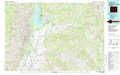 |
The Ramshorn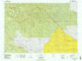 |
Thermopolis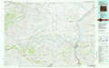 |
Jackson |
Gannett Peak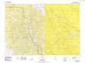 |
Riverton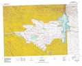 |
Afton |
Pinedale |
Lander |
> Back to 43108a1 at 1:250,000 scale
> Back to U.S. Topo Maps home
1:24,000 Topo Quads covered by the spatial extent of this 100k map (Gannett Peak)
|
Fish Creek Park 
|
Union Peak 
|
Simpson Lake 
|
Torrey Lake 
|
Blue Holes 
|
Wilderness 
|
Crowheart Nw 
|
Crowheart Ne 
|
|
Big Sheep Mountain 
|
Green River Lakes 
|
Downs Mountain 
|
Ink Wells 
|
Hays Park 
|
Burris 
|
Crowheart 
|
Crowheart Butte 
|
|
Kendall Mountain 
|
Squaretop Mountain 
|
Gannett Peak 
|
Fremont Peak North 
|
Bob Lakes 
|
Kirkland Park 
|
Bull Lake West 
|
Bull Lake East 
|
|
New Fork Lakes 
|
Fremont Lake North 
|
Bridger Lakes 
|
Fremont Peak South 
|
Alpine Lake 
|
Paradise Basin 
|
Saint Lawrence Basin 
|
Wise Flat 
|