Mission Valley Topo Map Texas
To zoom in, hover over the map of Mission Valley
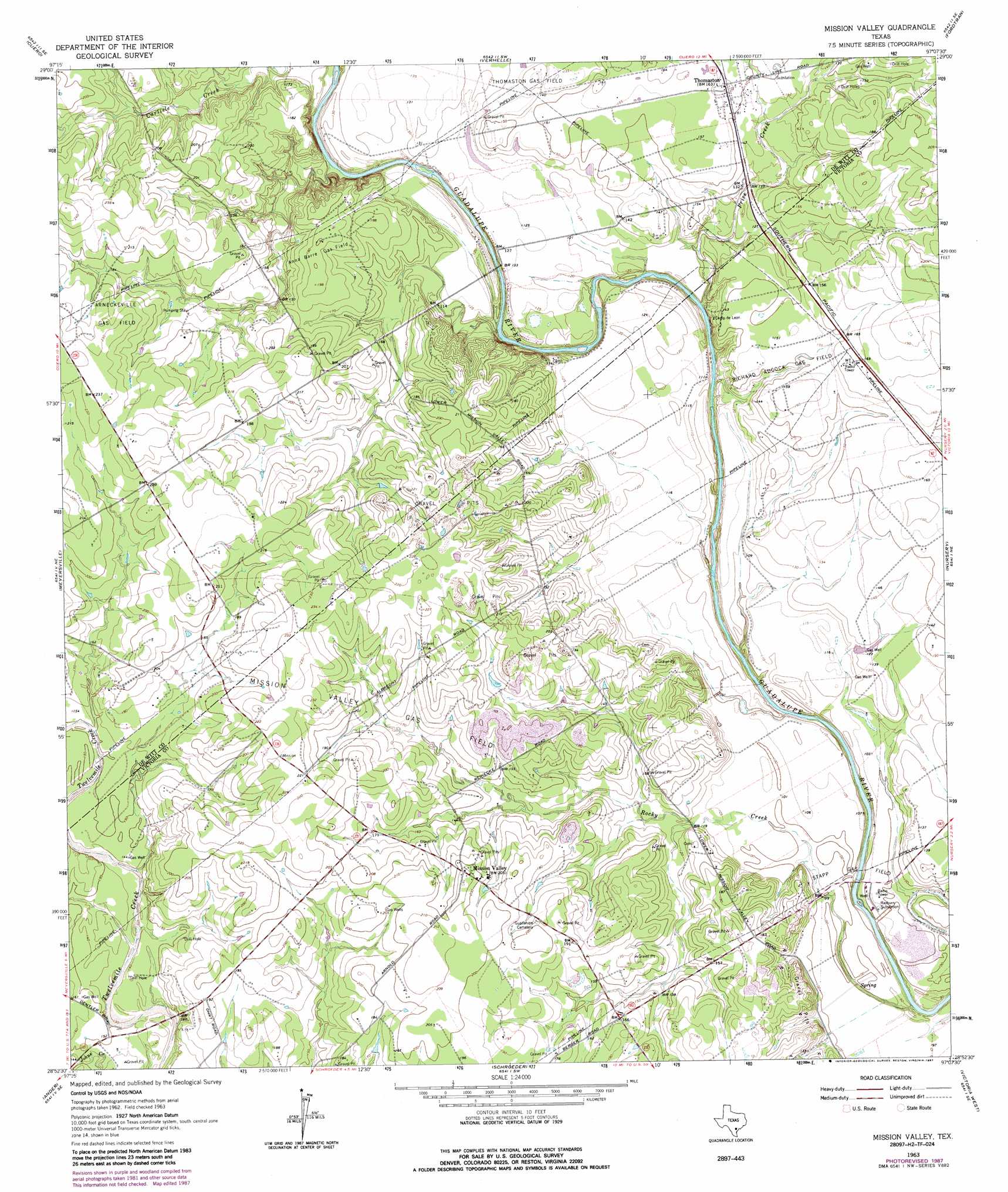
USGS Topo Quad 28097h2 - 1:24,000 scale
| Topo Map Name: | Mission Valley |
| USGS Topo Quad ID: | 28097h2 |
| Print Size: | ca. 21 1/4" wide x 27" high |
| Southeast Coordinates: | 28.875° N latitude / 97.125° W longitude |
| Map Center Coordinates: | 28.9375° N latitude / 97.1875° W longitude |
| U.S. State: | TX |
| Filename: | o28097h2.jpg |
| Download Map JPG Image: | Mission Valley topo map 1:24,000 scale |
| Map Type: | Topographic |
| Topo Series: | 7.5´ |
| Map Scale: | 1:24,000 |
| Source of Map Images: | United States Geological Survey (USGS) |
| Alternate Map Versions: |
Mission Valley TX 1963, updated 1965 Download PDF Buy paper map Mission Valley TX 1963, updated 1987 Download PDF Buy paper map Mission Valley TX 2010 Download PDF Buy paper map Mission Valley TX 2013 Download PDF Buy paper map Mission Valley TX 2016 Download PDF Buy paper map |
1:24,000 Topo Quads surrounding Mission Valley
Westhoff |
Concrete |
Edgar |
Terryville |
Hope |
Blackwell Lake |
Cuero |
Verhelle |
Fordtran |
Peck Branch |
Yorktown East |
Meyersville |
Mission Valley |
Nursery |
Inez Nw |
Weesatche |
Ander |
Schroeder |
Victoria West |
Victoria East |
Goliad |
Hensley Lake |
Fannin |
Raisin |
Bloomington |
> Back to 28097e1 at 1:100,000 scale
> Back to 28096a1 at 1:250,000 scale
> Back to U.S. Topo Maps home
Mission Valley topo map: Gazetteer
Mission Valley: Oilfields
Anna Barre Gas Field elevation 58m 190′Mission Valley Gas Field elevation 55m 180′
Richard Adock Gas Field elevation 46m 150′
Stapp Gas Field elevation 30m 98′
Thomaston Gas Field elevation 44m 144′
Mission Valley: Populated Places
Mission Valley elevation 65m 213′Thomaston elevation 49m 160′
Mission Valley: Streams
Price Creek elevation 27m 88′Rocky Creek elevation 22m 72′
Mission Valley digital topo map on disk
Buy this Mission Valley topo map showing relief, roads, GPS coordinates and other geographical features, as a high-resolution digital map file on DVD: