Temple Nw Topo Map Oklahoma
To zoom in, hover over the map of Temple Nw
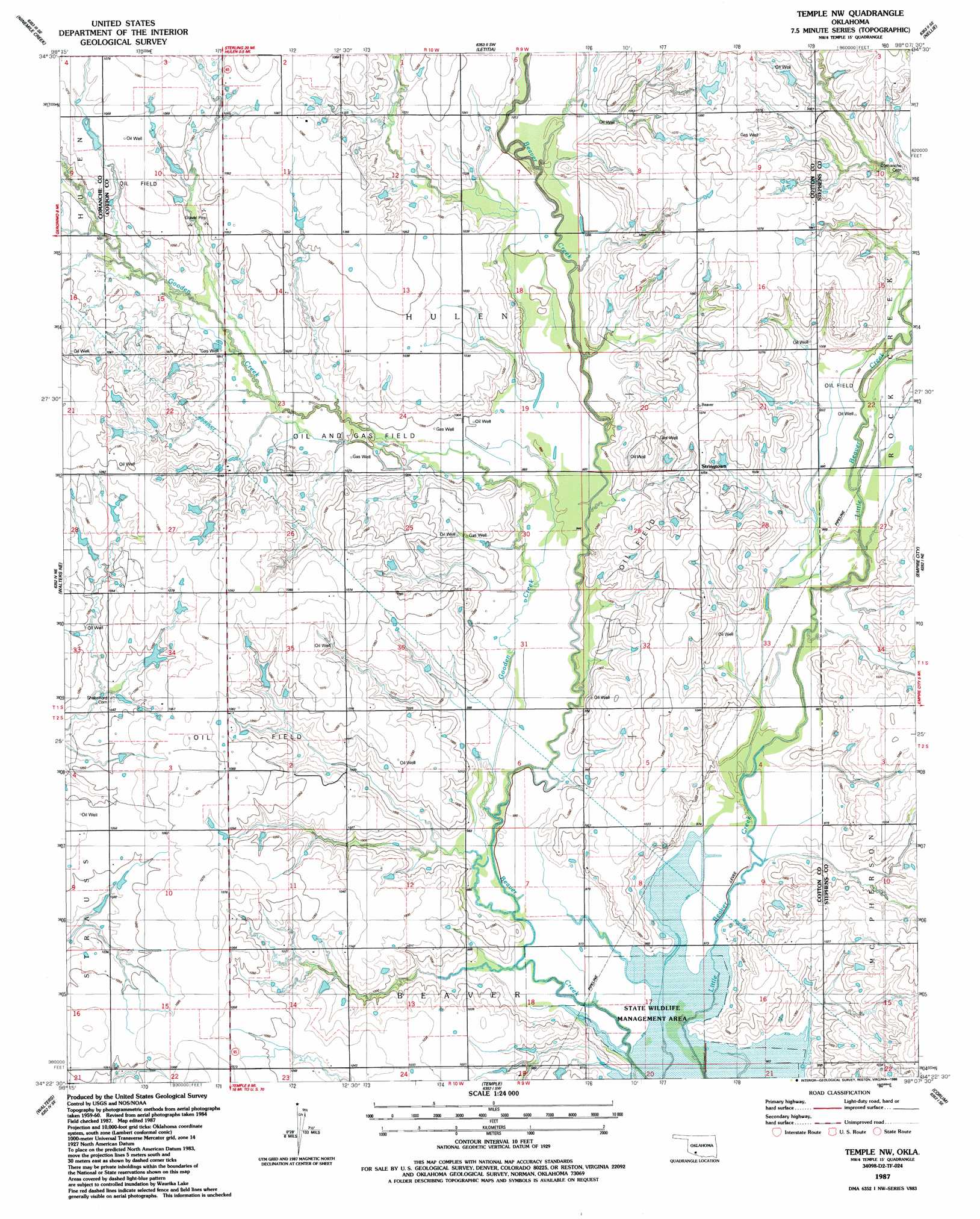
USGS Topo Quad 34098d2 - 1:24,000 scale
| Topo Map Name: | Temple Nw |
| USGS Topo Quad ID: | 34098d2 |
| Print Size: | ca. 21 1/4" wide x 27" high |
| Southeast Coordinates: | 34.375° N latitude / 98.125° W longitude |
| Map Center Coordinates: | 34.4375° N latitude / 98.1875° W longitude |
| U.S. State: | OK |
| Filename: | o34098d2.jpg |
| Download Map JPG Image: | Temple Nw topo map 1:24,000 scale |
| Map Type: | Topographic |
| Topo Series: | 7.5´ |
| Map Scale: | 1:24,000 |
| Source of Map Images: | United States Geological Survey (USGS) |
| Alternate Map Versions: |
Temple NW OK 1987, updated 1988 Download PDF Buy paper map Temple NW OK 2010 Download PDF Buy paper map Temple NW OK 2012 Download PDF Buy paper map Temple NW OK 2016 Download PDF Buy paper map |
1:24,000 Topo Quads surrounding Temple Nw
Fort Sill |
Arbuckle Hill |
Sterling |
Denton |
Marlow |
Lawton |
Ninemile Creek |
Letitia |
Nellie |
Duncan North |
Geronimo |
Walters Ne |
Temple Nw |
Empire City |
Duncan South |
Cookietown |
Walters |
Temple |
Corum |
Comanche |
Randlett |
Taylor |
Hooper |
Waurika West |
Waurika East |
> Back to 34098a1 at 1:100,000 scale
> Back to 34098a1 at 1:250,000 scale
> Back to U.S. Topo Maps home
Temple Nw topo map: Gazetteer
Temple Nw: Dams
Oknoname 031030 Dam elevation 323m 1059′Temple Nw: Oilfields
Walters Oil Field elevation 327m 1072′Temple Nw: Reservoirs
Oknoname 031030 Reservoir elevation 323m 1059′Temple Nw: Streams
Gooden Creek elevation 299m 980′Temple Nw digital topo map on disk
Buy this Temple Nw topo map showing relief, roads, GPS coordinates and other geographical features, as a high-resolution digital map file on DVD: