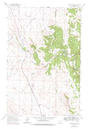
Coburn Mountain Topo Map Montana
To zoom in, hover over the map of Coburn Mountain
USGS Topo Quad 47112b1 - 1:24,000 scale
| Topo Map Name: | Coburn Mountain |
| USGS Topo Quad ID: | 47112b1 |
| Print Size: | ca. 21 1/4" wide x 27" high |
| Southeast Coordinates: | 47.125° N latitude / 112° W longitude |
| Map Center Coordinates: | 47.1875° N latitude / 112.0625° W longitude |
| U.S. State: | MT |
| Filename: | o47112b1.jpg |
| Download Map JPG Image: | Coburn Mountain topo map 1:24,000 scale |
| Map Type: | Topographic |
| Topo Series: | 7.5´ |
| Map Scale: | 1:24,000 |
| Source of Map Images: | United States Geological Survey (USGS) |
| Alternate Map Versions: |
Coburn Mountain MT 1961, updated 1964 Download PDF Buy paper map Coburn Mountain MT 1961, updated 1979 Download PDF Buy paper map Coburn Mountain MT 1961, updated 1979 Download PDF Buy paper map Coburn Mountain MT 2011 Download PDF Buy paper map Coburn Mountain MT 2014 Download PDF Buy paper map |
1:24,000 Topo Quads surrounding Coburn Mountain
> Back to 47112a1 at 1:100,000 scale
> Back to 47112a1 at 1:250,000 scale
> Back to U.S. Topo Maps home
Coburn Mountain topo map: Gazetteer
Coburn Mountain: Dams
Curran-Barrett Number 1 Dam elevation 1213m 3979′Coburn Mountain: Populated Places
Dearborn (historical) elevation 1159m 3802′Coburn Mountain: Post Offices
Dearborn Post Office (historical) elevation 1159m 3802′Coburn Mountain: Streams
Deadman Creek elevation 1151m 3776′Flat Creek elevation 1111m 3645′
Sullivan Creek elevation 1110m 3641′
Coburn Mountain: Summits
Coburn Mountain elevation 1556m 5104′Elephant Mountain elevation 1398m 4586′
Coburn Mountain: Valleys
Twin Bridge Coulee elevation 1183m 3881′Coburn Mountain digital topo map on disk
Buy this Coburn Mountain topo map showing relief, roads, GPS coordinates and other geographical features, as a high-resolution digital map file on DVD:


