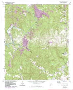
Sylvan Springs Topo Map Alabama
To zoom in, hover over the map of Sylvan Springs
USGS Topo Quad 33087e1 - 1:24,000 scale
| Topo Map Name: | Sylvan Springs |
| USGS Topo Quad ID: | 33087e1 |
| Print Size: | ca. 21 1/4" wide x 27" high |
| Southeast Coordinates: | 33.5° N latitude / 87° W longitude |
| Map Center Coordinates: | 33.5625° N latitude / 87.0625° W longitude |
| U.S. State: | AL |
| Filename: | o33087e1.jpg |
| Download Map JPG Image: | Sylvan Springs topo map 1:24,000 scale |
| Map Type: | Topographic |
| Topo Series: | 7.5´ |
| Map Scale: | 1:24,000 |
| Source of Map Images: | United States Geological Survey (USGS) |
| Alternate Map Versions: |
Sylvan Springs AL 1971, updated 1973 Download PDF Buy paper map Sylvan Springs AL 1971, updated 1978 Download PDF Buy paper map Sylvan Springs AL 1971, updated 1983 Download PDF Buy paper map Sylvan Springs AL 1975, updated 1977 Download PDF Buy paper map Sylvan Springs AL 2011 Download PDF Buy paper map Sylvan Springs AL 2014 Download PDF Buy paper map |
1:24,000 Topo Quads surrounding Sylvan Springs
> Back to 33087e1 at 1:100,000 scale
> Back to 33086a1 at 1:250,000 scale
> Back to U.S. Topo Maps home
Sylvan Springs topo map: Gazetteer
Sylvan Springs: Bars
Nichols Shoals elevation 76m 249′Sylvan Springs: Bridges
Atwood Ferry Bridge elevation 79m 259′Woodruff Bridge elevation 91m 298′
Sylvan Springs: Crossings
Atwood Ferry (historical) elevation 135m 442′Williams Ferry (historical) elevation 115m 377′
Sylvan Springs: Dams
Miller Steam Plant Ash Pond Dam elevation 91m 298′Sylvan Springs: Gaps
Ben Vines Gap elevation 182m 597′Sylvan Springs: Mines
Barrell Mine elevation 153m 501′Chickasaw Mine elevation 102m 334′
Edgewater Mine elevation 91m 298′
Hathcock Mine elevation 123m 403′
Jerkwater Mine elevation 93m 305′
Labuco Drift Mine elevation 109m 357′
Lindbergh Mine elevation 172m 564′
Little Casino Mine elevation 98m 321′
Lollar Mine elevation 116m 380′
Parker Mine elevation 134m 439′
Porter Number 2 Mine elevation 91m 298′
Powhattan Mine elevation 92m 301′
Praco Mine elevation 136m 446′
Short Creek Mine elevation 163m 534′
Short Creek Mine elevation 104m 341′
Short Creek Number 1 Mine elevation 131m 429′
Skeleton Creek Mine elevation 141m 462′
Thompson Mine elevation 173m 567′
Sylvan Springs: Populated Places
Black Creek elevation 85m 278′Booker Heights elevation 215m 705′
Hoagtown elevation 198m 649′
Labuco elevation 149m 488′
Port Birmingham elevation 129m 423′
Porter elevation 97m 318′
Powhatan elevation 84m 275′
Praco elevation 105m 344′
Shady Grove elevation 173m 567′
Short Creek elevation 98m 321′
Sylvan Springs elevation 202m 662′
Williamsburg elevation 122m 400′
Sylvan Springs: Reservoirs
Miller Steam Plant Ash Pond elevation 91m 298′Sylvan Springs: Streams
Black Creek elevation 92m 301′Black Creek elevation 78m 255′
Cane Creek elevation 97m 318′
Cane Creek elevation 93m 305′
Coal Creek elevation 91m 298′
Dry Branch elevation 99m 324′
Fishtrap Branch elevation 76m 249′
Mulga Creek elevation 121m 396′
Rock Creek elevation 106m 347′
Short Creek elevation 78m 255′
Village Creek elevation 79m 259′
Sylvan Springs digital topo map on disk
Buy this Sylvan Springs topo map showing relief, roads, GPS coordinates and other geographical features, as a high-resolution digital map file on DVD:


