King Camp Topo Map New Mexico
To zoom in, hover over the map of King Camp
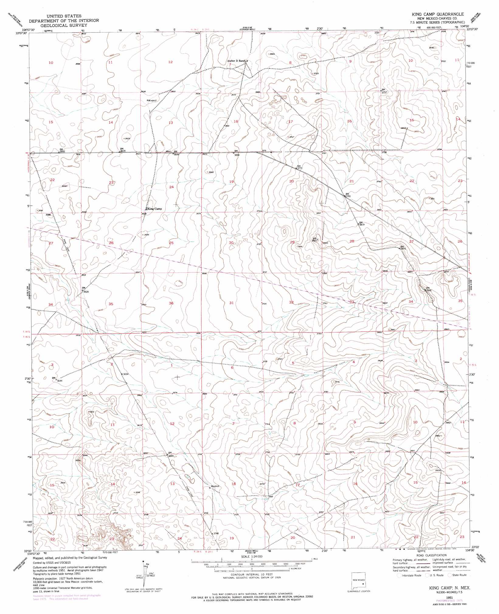
USGS Topo Quad 33104a1 - 1:24,000 scale
| Topo Map Name: | King Camp |
| USGS Topo Quad ID: | 33104a1 |
| Print Size: | ca. 21 1/4" wide x 27" high |
| Southeast Coordinates: | 33° N latitude / 104° W longitude |
| Map Center Coordinates: | 33.0625° N latitude / 104.0625° W longitude |
| U.S. State: | NM |
| Filename: | o33104a1.jpg |
| Download Map JPG Image: | King Camp topo map 1:24,000 scale |
| Map Type: | Topographic |
| Topo Series: | 7.5´ |
| Map Scale: | 1:24,000 |
| Source of Map Images: | United States Geological Survey (USGS) |
| Alternate Map Versions: |
King Camp NM 1951, updated 1953 Download PDF Buy paper map King Camp NM 1951, updated 1955 Download PDF Buy paper map King Camp NM 1951, updated 1978 Download PDF Buy paper map King Camp NM 2010 Download PDF Buy paper map King Camp NM 2013 Download PDF Buy paper map King Camp NM 2017 Download PDF Buy paper map |
1:24,000 Topo Quads surrounding King Camp
Bottomless Lakes |
Wade Ranch |
Malstrom Ranch |
Culp Ranch |
Mescalero Point |
Dexter East |
Bar C Bar Ranch |
Conner Well |
Vest Camp |
Caudill Ranch |
Hagerman |
Derrick Draw |
King Camp |
Cedar Point |
Cedar Point Se |
Artesia Ne |
Diamond Mound |
Basin Well |
Henshaw Tank |
Maljamar Ne |
Spring Lake |
Red Lake |
Red Lake Se |
Loco Hills |
Maljamar |
> Back to 33104a1 at 1:100,000 scale
> Back to 33104a1 at 1:250,000 scale
> Back to U.S. Topo Maps home
No gazetteer data is available for the King Camp topo map sheet.
King Camp digital topo map on disk
Buy this King Camp topo map showing relief, roads, GPS coordinates and other geographical features, as a high-resolution digital map file on DVD: