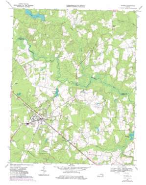
Waverly Topo Map Virginia
To zoom in, hover over the map of Waverly
USGS Topo Quad 37077a1 - 1:24,000 scale
| Topo Map Name: | Waverly |
| USGS Topo Quad ID: | 37077a1 |
| Print Size: | ca. 21 1/4" wide x 27" high |
| Southeast Coordinates: | 37° N latitude / 77° W longitude |
| Map Center Coordinates: | 37.0625° N latitude / 77.0625° W longitude |
| U.S. State: | VA |
| Filename: | o37077a1.jpg |
| Download Map JPG Image: | Waverly topo map 1:24,000 scale |
| Map Type: | Topographic |
| Topo Series: | 7.5´ |
| Map Scale: | 1:24,000 |
| Source of Map Images: | United States Geological Survey (USGS) |
| Alternate Map Versions: |
Waverly VA 1956, updated 1958 Download PDF Buy paper map Waverly VA 1969, updated 1971 Download PDF Buy paper map Waverly VA 1969, updated 1975 Download PDF Buy paper map Waverly VA 1969, updated 1981 Download PDF Buy paper map Waverly VA 2010 Download PDF Buy paper map Waverly VA 2013 Download PDF Buy paper map Waverly VA 2016 Download PDF Buy paper map |
1:24,000 Topo Quads surrounding Waverly
> Back to 37077a1 at 1:100,000 scale
> Back to 37076a1 at 1:250,000 scale
> Back to U.S. Topo Maps home
Waverly topo map: Gazetteer
Waverly: Airports
Waverly Airport elevation 37m 121′Waverly: Bridges
Blunts Bridge elevation 19m 62′Waverly: Dams
Avery Dam elevation 24m 78′Bryant Dam elevation 20m 65′
White Dam elevation 17m 55′
Waverly: Populated Places
Carsley elevation 36m 118′Gwaltney Corner elevation 33m 108′
Waverly elevation 34m 111′
Waverly: Reservoirs
Avery Millpond elevation 27m 88′Averys Pond elevation 24m 78′
Bryant Pond elevation 20m 65′
Waverly: Springs
Coppahawk Spring elevation 27m 88′Waverly: Streams
Chinquapin Swamp elevation 12m 39′Otterdam Swamp elevation 16m 52′
Spring Branch elevation 17m 55′
Waverly digital topo map on disk
Buy this Waverly topo map showing relief, roads, GPS coordinates and other geographical features, as a high-resolution digital map file on DVD:
Atlantic Coast (NY, NJ, PA, DE, MD, VA, NC)
Buy digital topo maps: Atlantic Coast (NY, NJ, PA, DE, MD, VA, NC)


