Saint Onge Se Topo Map South Dakota
To zoom in, hover over the map of Saint Onge Se
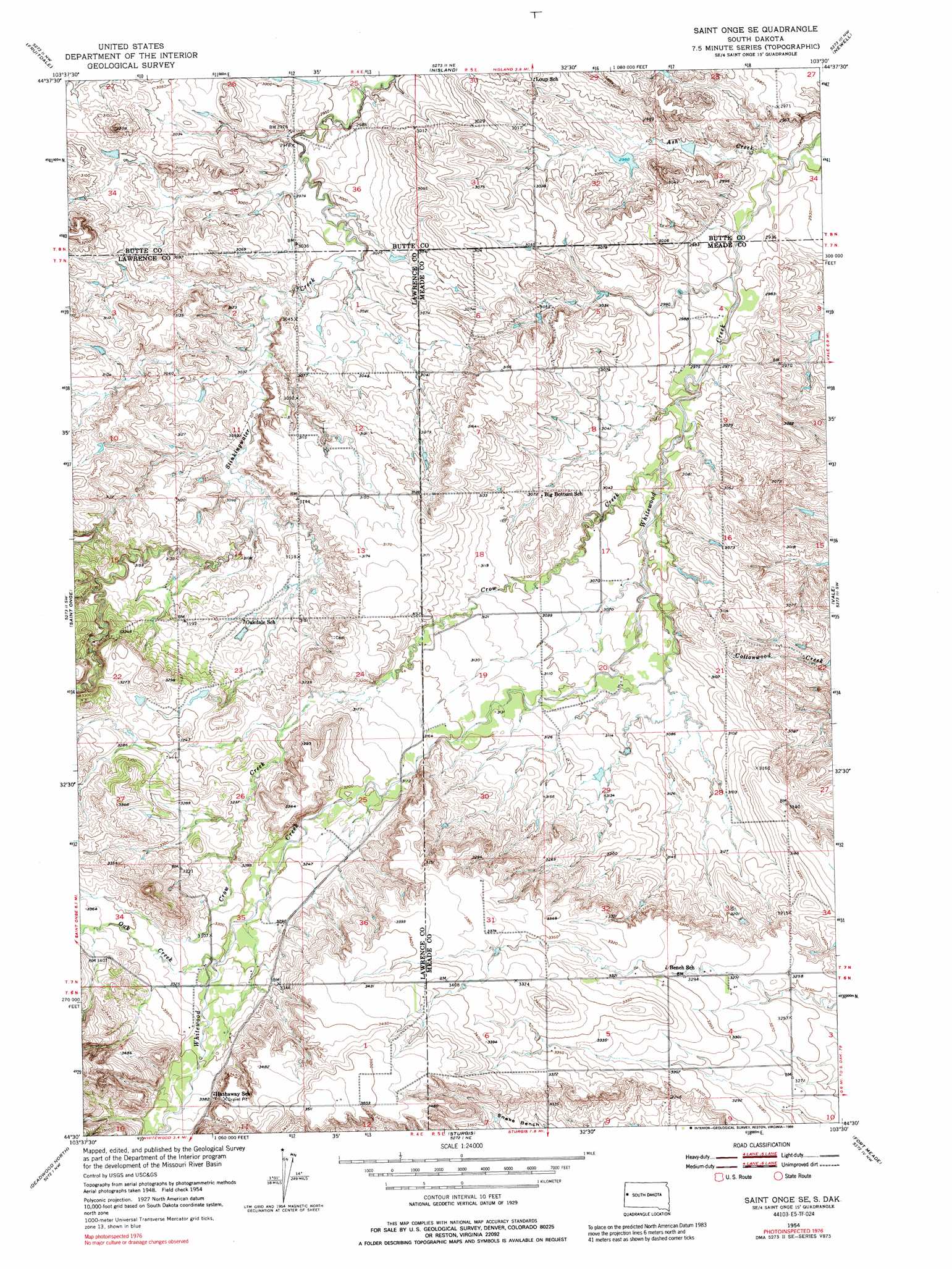
USGS Topo Quad 44103e5 - 1:24,000 scale
| Topo Map Name: | Saint Onge Se |
| USGS Topo Quad ID: | 44103e5 |
| Print Size: | ca. 21 1/4" wide x 27" high |
| Southeast Coordinates: | 44.5° N latitude / 103.5° W longitude |
| Map Center Coordinates: | 44.5625° N latitude / 103.5625° W longitude |
| U.S. State: | SD |
| Filename: | o44103e5.jpg |
| Download Map JPG Image: | Saint Onge Se topo map 1:24,000 scale |
| Map Type: | Topographic |
| Topo Series: | 7.5´ |
| Map Scale: | 1:24,000 |
| Source of Map Images: | United States Geological Survey (USGS) |
| Alternate Map Versions: |
Saint Onge SE SD 1954, updated 1955 Download PDF Buy paper map Saint Onge SE SD 1954, updated 1972 Download PDF Buy paper map Saint Onge SE SD 1954, updated 1972 Download PDF Buy paper map Saint Onge SE SD 1954, updated 1989 Download PDF Buy paper map Saint Onge SE SD 2012 Download PDF Buy paper map Saint Onge SE SD 2015 Download PDF Buy paper map |
1:24,000 Topo Quads surrounding Saint Onge Se
Mud Buttes |
Arpan |
Two Top Butte Se |
Newell Lake |
Schoepp Flat |
Belle Fourche |
Fruitdale |
Nisland |
Newell |
Vale Ne |
Jolly |
Saint Onge |
Saint Onge Se |
Vale |
Vale Se |
Spearfish |
Deadwood North |
Sturgis |
Fort Meade |
Fort Meade Ne |
Lead |
Deadwood South |
Deadman Mountain |
Tilford |
Fort Meade Se |
> Back to 44103e1 at 1:100,000 scale
> Back to 44102a1 at 1:250,000 scale
> Back to U.S. Topo Maps home
Saint Onge Se topo map: Gazetteer
Saint Onge Se: Streams
Ash Creek elevation 881m 2890′Crow Creek elevation 918m 3011′
Oak Creek elevation 1006m 3300′
Saint Onge Se digital topo map on disk
Buy this Saint Onge Se topo map showing relief, roads, GPS coordinates and other geographical features, as a high-resolution digital map file on DVD:
Eastern Wyoming & Western South Dakota
Buy digital topo maps: Eastern Wyoming & Western South Dakota