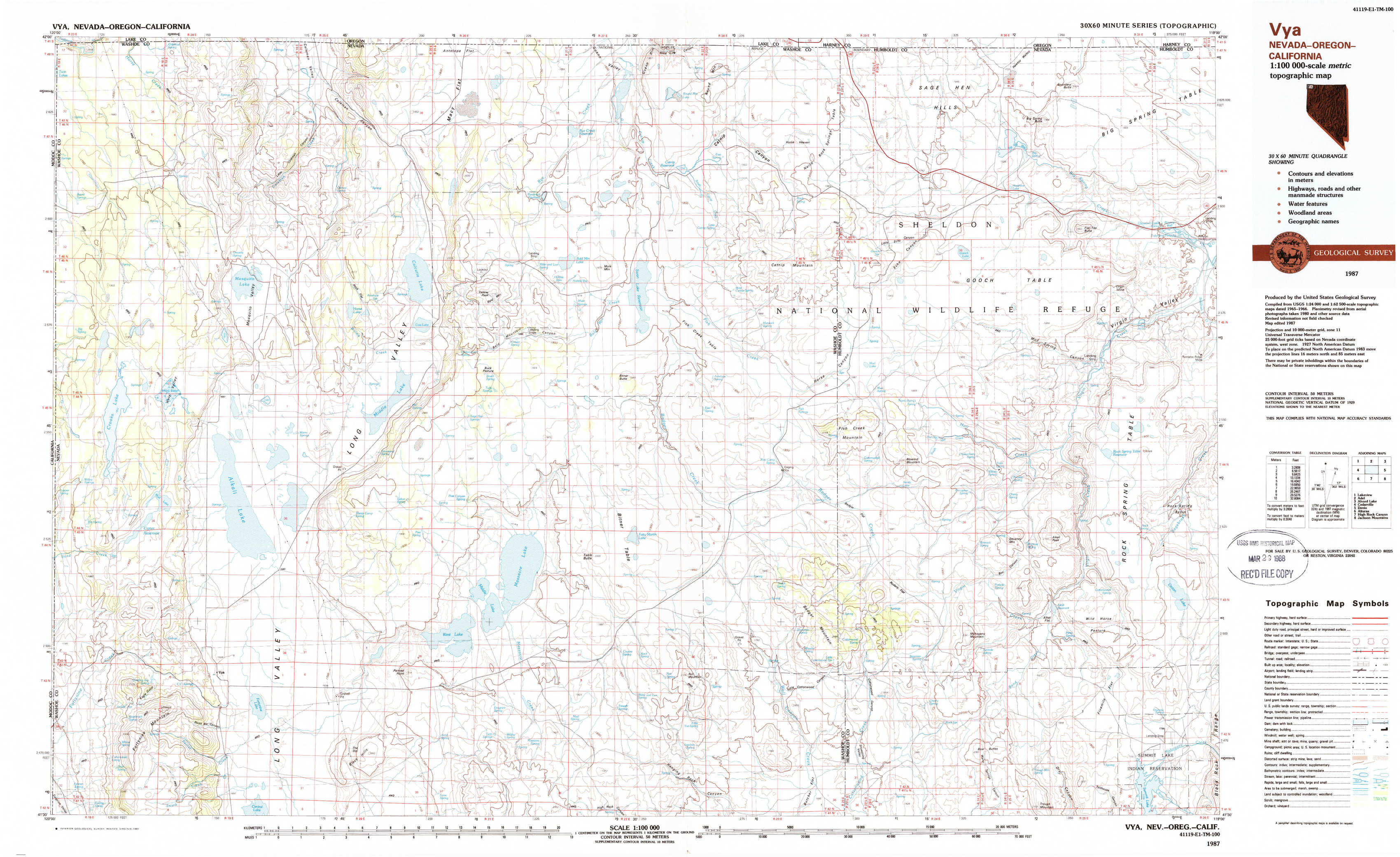
Vya Topo Map Nevada
To zoom in, hover over the map of Vya
USGS Topo Map 41119e1 - 1:100,000 scale
| Topo Map Name: | Vya |
| USGS Topo Quad ID: | 41119e1 |
| Print Size: | ca. 39" wide x 24" high |
| Southeast Coordinates: | 41.5° N latitude / 119° W longitude |
| Map Center Coordinates: | 41.75° N latitude / 119.5° W longitude |
| U.S. States: | NV, OR, CA |
| Filename: | 41119e1.jpg |
| Download Map JPG Image: | Vya topo map 1:100,000 scale |
| Map Type: | Topographic |
| Topo Series: | 30´x60´ |
| Map Scale: | 1:100,000 |
| Source of Map Images: | United States Geological Survey (USGS) |
| Alternate Map Versions: |
Vya NV 1987, updated 1987 Download PDF Buy paper map Vya NV 1987, updated 1987 Download PDF Buy paper map |
1:100,000 Topos surrounding Vya
Lakeview |
Adel |
Alvord Lake |
Cedarville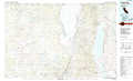 |
Vya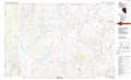 |
Denio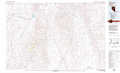 |
Alturas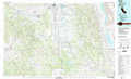 |
High Rock Canyon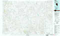 |
Jackson Mountains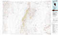 |
> Back to 41118a1 at 1:250,000 scale
> Back to U.S. Topo Maps home
1:24,000 Topo Quads covered by the spatial extent of this 100k map (Vya)
|
Barrel Springs 
|
Little Coleman Canyon 
|
Coleman Canyon 
|
Rye Creek 
|
Catnip Canyon 
|
Sage Hen Hills 
|
Big Spring Butte 
|
Thousand Creek Spring 
|
|
Crooks Meadow 
|
Mosquito Valley 
|
Calcutta Lake 
|
Bald Mountain 
|
Swan Lake 
|
Catnip Mountain Se 
|
Gooch Lake 
|
Virgin Valley 
|
|
Carter Reservoir 
|
Alkali Lake 
|
Massacre Lake Nw 
|
Massacre Lake 
|
Badger Mountain Nw 
|
Blowout Mountain 
|
Alkali Peak 
|
Rock Spring Table 
|
|
Fortynine Mountain 
|
Vya 
|
Painted Point 
|
Massacre Creek 
|
Nut Mountain 
|
Badger Mountain Se 
|
Bear Buttes 
|
Summit Lake 
|