Nursery Topo Map Texas
To zoom in, hover over the map of Nursery
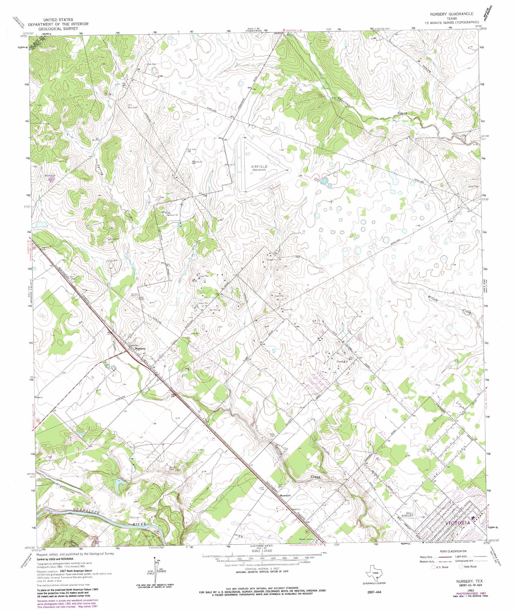
USGS Topo Quad 28097h1 - 1:24,000 scale
| Topo Map Name: | Nursery |
| USGS Topo Quad ID: | 28097h1 |
| Print Size: | ca. 21 1/4" wide x 27" high |
| Southeast Coordinates: | 28.875° N latitude / 97° W longitude |
| Map Center Coordinates: | 28.9375° N latitude / 97.0625° W longitude |
| U.S. State: | TX |
| Filename: | o28097h1.jpg |
| Download Map JPG Image: | Nursery topo map 1:24,000 scale |
| Map Type: | Topographic |
| Topo Series: | 7.5´ |
| Map Scale: | 1:24,000 |
| Source of Map Images: | United States Geological Survey (USGS) |
| Alternate Map Versions: |
Nursery TX 1963, updated 1965 Download PDF Buy paper map Nursery TX 1963, updated 1985 Download PDF Buy paper map Nursery TX 1963, updated 1987 Download PDF Buy paper map Nursery TX 2010 Download PDF Buy paper map Nursery TX 2013 Download PDF Buy paper map Nursery TX 2016 Download PDF Buy paper map |
1:24,000 Topo Quads surrounding Nursery
Concrete |
Edgar |
Terryville |
Hope |
Morales |
Cuero |
Verhelle |
Fordtran |
Peck Branch |
Navidad |
Meyersville |
Mission Valley |
Nursery |
Inez Nw |
Inez |
Ander |
Schroeder |
Victoria West |
Victoria East |
Marcado Creek |
Hensley Lake |
Fannin |
Raisin |
Bloomington |
Placedo |
> Back to 28097e1 at 1:100,000 scale
> Back to 28096a1 at 1:250,000 scale
> Back to U.S. Topo Maps home
Nursery topo map: Gazetteer
Nursery: Airports
Ball Airport elevation 39m 127′Nursery: Populated Places
Moursund elevation 37m 121′Nursery elevation 40m 131′
Nursery digital topo map on disk
Buy this Nursery topo map showing relief, roads, GPS coordinates and other geographical features, as a high-resolution digital map file on DVD: