Civet Cat Cave Topo Map Nevada
To zoom in, hover over the map of Civet Cat Cave
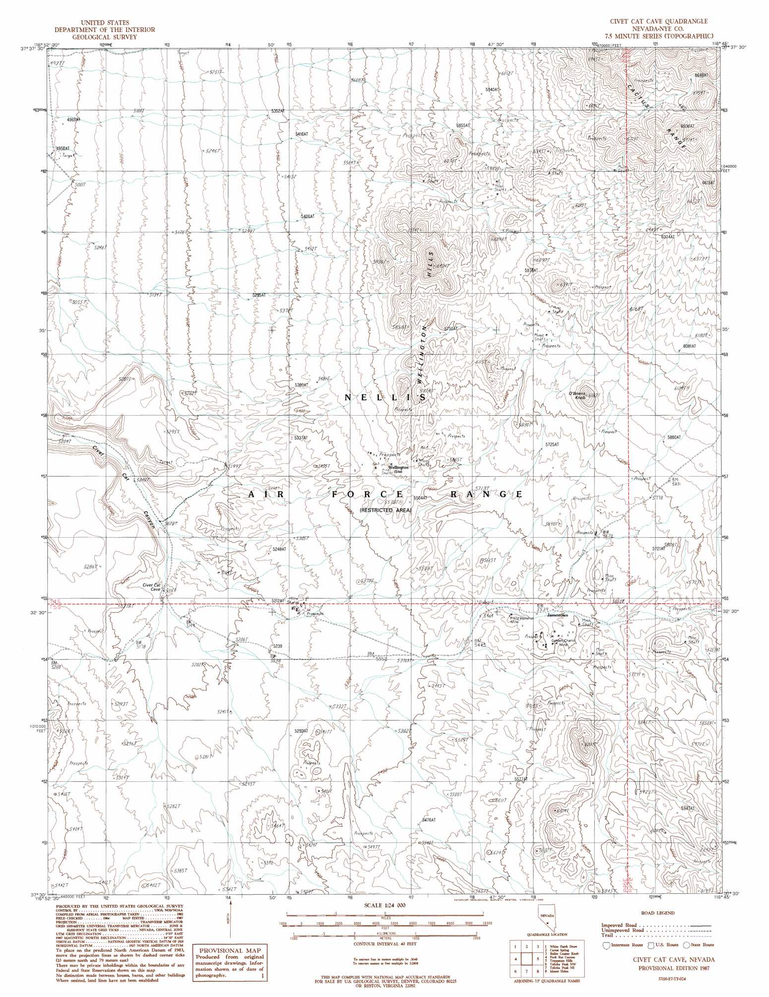
USGS Topo Quad 37116e7 - 1:24,000 scale
| Topo Map Name: | Civet Cat Cave |
| USGS Topo Quad ID: | 37116e7 |
| Print Size: | ca. 21 1/4" wide x 27" high |
| Southeast Coordinates: | 37.5° N latitude / 116.75° W longitude |
| Map Center Coordinates: | 37.5625° N latitude / 116.8125° W longitude |
| U.S. State: | NV |
| Filename: | o37116e7.jpg |
| Download Map JPG Image: | Civet Cat Cave topo map 1:24,000 scale |
| Map Type: | Topographic |
| Topo Series: | 7.5´ |
| Map Scale: | 1:24,000 |
| Source of Map Images: | United States Geological Survey (USGS) |
| Alternate Map Versions: |
Civet Cat Cave NV 1987, updated 1988 Download PDF Buy paper map |
1:24,000 Topo Quads surrounding Civet Cat Cave
Mud Lake South |
Cactus Peak |
East Of Cactus Peak |
Stinking Spring Sw |
Breen Creek |
East Of Goldfield |
White Patch Draw |
Cactus Spring |
Roller Coaster Knob |
Mellan |
Stonewall Spring |
Pack Rat Canyon |
Civet Cat Cave |
Trappman Hills |
Triangle Mountain |
Scottys Junction Ne |
Tolicha Peak Nw |
Tolicha Peak Ne |
Mount Helen |
Gold Flat West |
Scottys Junction |
Tolicha Peak Sw |
Tolicha Peak |
Black Mountain |
Trail Ridge |
> Back to 37116e1 at 1:100,000 scale
> Back to 37116a1 at 1:250,000 scale
> Back to U.S. Topo Maps home
Civet Cat Cave topo map: Gazetteer
Civet Cat Cave: Gaps
Antelope Pass elevation 2061m 6761′Civet Cat Cave: Mines
Franz Hammel Mine elevation 1687m 5534′Golden Chariot Mine elevation 1700m 5577′
Civet Cat Cave: Populated Places
Jamestown (historical) elevation 1692m 5551′Civet Cat Cave: Post Offices
Jamestown Post Office (historical) elevation 1692m 5551′Civet Cat Cave: Summits
O'Briens Knob elevation 1874m 6148′Wellington Hills elevation 1794m 5885′
Civet Cat Cave digital topo map on disk
Buy this Civet Cat Cave topo map showing relief, roads, GPS coordinates and other geographical features, as a high-resolution digital map file on DVD: