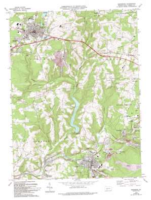
Ebensburg Topo Map Pennsylvania
To zoom in, hover over the map of Ebensburg
USGS Topo Quad 40078d6 - 1:24,000 scale
| Topo Map Name: | Ebensburg |
| USGS Topo Quad ID: | 40078d6 |
| Print Size: | ca. 21 1/4" wide x 27" high |
| Southeast Coordinates: | 40.375° N latitude / 78.625° W longitude |
| Map Center Coordinates: | 40.4375° N latitude / 78.6875° W longitude |
| U.S. State: | PA |
| Filename: | o40078d6.jpg |
| Download Map JPG Image: | Ebensburg topo map 1:24,000 scale |
| Map Type: | Topographic |
| Topo Series: | 7.5´ |
| Map Scale: | 1:24,000 |
| Source of Map Images: | United States Geological Survey (USGS) |
| Alternate Map Versions: |
Ebensburg PA 1963, updated 1965 Download PDF Buy paper map Ebensburg PA 1963, updated 1973 Download PDF Buy paper map Ebensburg PA 1963, updated 1982 Download PDF Buy paper map Ebensburg PA 1963, updated 1990 Download PDF Buy paper map Ebensburg PA 1963, updated 1994 Download PDF Buy paper map Ebensburg PA 2010 Download PDF Buy paper map Ebensburg PA 2013 Download PDF Buy paper map Ebensburg PA 2016 Download PDF Buy paper map |
1:24,000 Topo Quads surrounding Ebensburg
> Back to 40078a1 at 1:100,000 scale
> Back to 40078a1 at 1:250,000 scale
> Back to U.S. Topo Maps home
Ebensburg topo map: Gazetteer
Ebensburg: Airports
Kimball Heliport elevation 666m 2185′Krug Airport elevation 622m 2040′
Ebensburg: Dams
Cambria Slope Mine Number Thirty-Three Dam elevation 565m 1853′Howells Run Dam elevation 617m 2024′
Lake Rowena Recreation Dam elevation 603m 1978′
Wilmore Dam elevation 528m 1732′
Wilmore Dam elevation 493m 1617′
Ebensburg: Parks
Crichton McCormick Park elevation 504m 1653′Lovell Park elevation 624m 2047′
Ebensburg: Populated Places
Bens Creek elevation 578m 1896′Cassandra elevation 551m 1807′
Ebensburg elevation 652m 2139′
Ebensburg Junction elevation 626m 2053′
Jamestown elevation 521m 1709′
Kaylor elevation 623m 2043′
Lovell Park elevation 588m 1929′
Lower Dutchtown elevation 571m 1873′
Miller Shaft elevation 561m 1840′
Moshannon elevation 591m 1938′
Moudy Hill elevation 533m 1748′
Munster elevation 604m 1981′
Mylo Park elevation 617m 2024′
Noel elevation 616m 2020′
Oil City elevation 541m 1774′
Plane Bank elevation 580m 1902′
Portage elevation 514m 1686′
Redbird elevation 561m 1840′
Scarlan Hill elevation 648m 2125′
Shoemaker elevation 553m 1814′
Sonman elevation 528m 1732′
Spring Hill elevation 577m 1893′
Upper Dutchtown elevation 594m 1948′
Wilmore elevation 477m 1564′
Wilmore Heights elevation 513m 1683′
Ebensburg: Reservoirs
City Reservoir elevation 617m 2024′City Reservoir elevation 604m 1981′
City Reservoir elevation 624m 2047′
Lake Rowena elevation 593m 1945′
Pond Number One elevation 565m 1853′
Ebensburg: Streams
Bens Creek elevation 529m 1735′Howells Run elevation 499m 1637′
Kane Run elevation 480m 1574′
Noels Creek elevation 504m 1653′
North Branch Little Conemaugh River elevation 471m 1545′
Roaring Run elevation 532m 1745′
Sanders Run elevation 517m 1696′
Sanders Run elevation 507m 1663′
Spring Run elevation 486m 1594′
Trout Run elevation 487m 1597′
Ebensburg: Summits
Pringle Hill elevation 581m 1906′Ebensburg: Valleys
Kaylor Hollow elevation 513m 1683′Ebensburg digital topo map on disk
Buy this Ebensburg topo map showing relief, roads, GPS coordinates and other geographical features, as a high-resolution digital map file on DVD:


