Arminto Sw Topo Map Wyoming
To zoom in, hover over the map of Arminto Sw
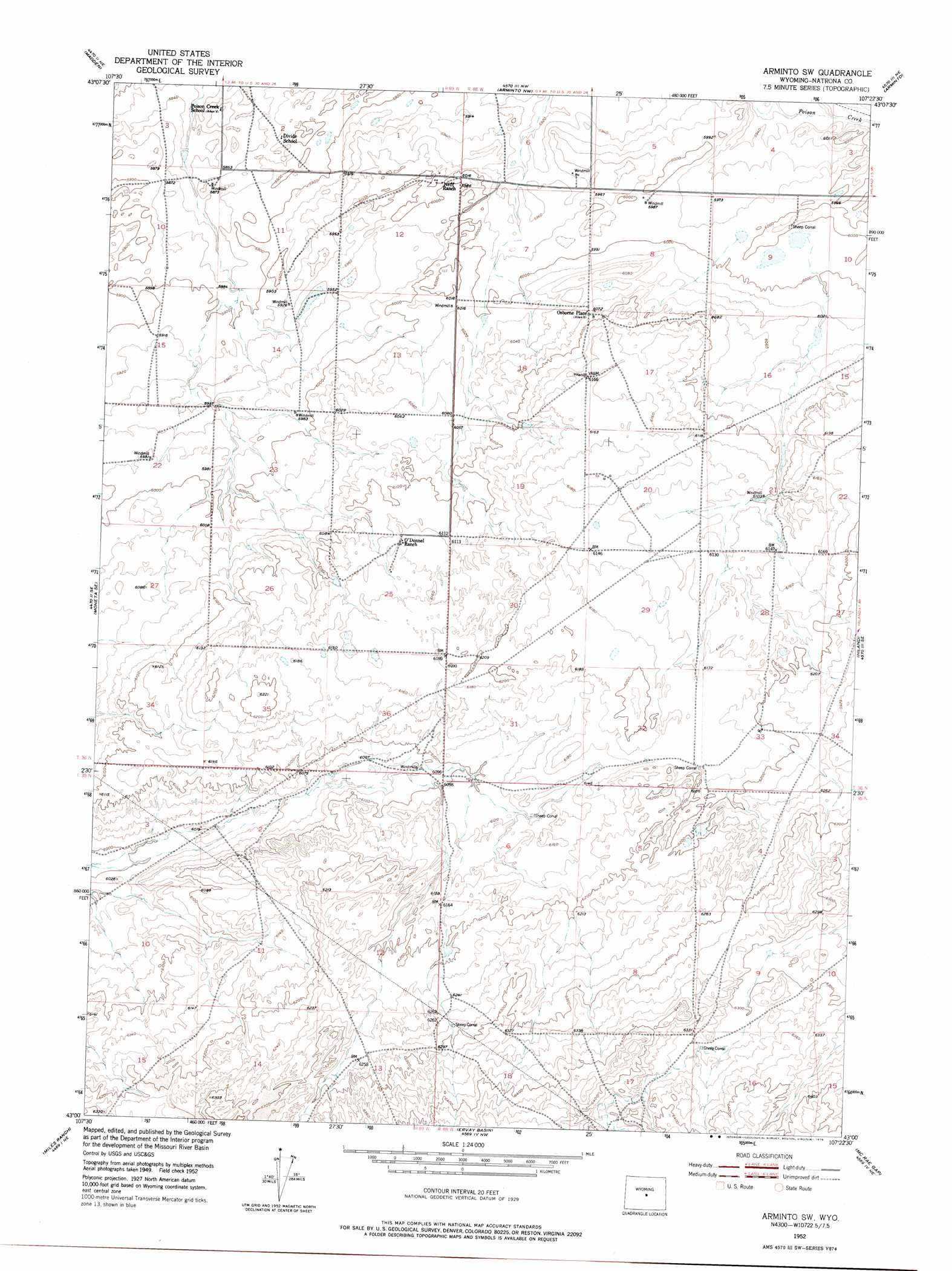
USGS Topo Quad 43107a4 - 1:24,000 scale
| Topo Map Name: | Arminto Sw |
| USGS Topo Quad ID: | 43107a4 |
| Print Size: | ca. 21 1/4" wide x 27" high |
| Southeast Coordinates: | 43° N latitude / 107.375° W longitude |
| Map Center Coordinates: | 43.0625° N latitude / 107.4375° W longitude |
| U.S. State: | WY |
| Filename: | o43107a4.jpg |
| Download Map JPG Image: | Arminto Sw topo map 1:24,000 scale |
| Map Type: | Topographic |
| Topo Series: | 7.5´ |
| Map Scale: | 1:24,000 |
| Source of Map Images: | United States Geological Survey (USGS) |
| Alternate Map Versions: |
Arminto SW WY 1952, updated 1953 Download PDF Buy paper map Arminto SW WY 1952, updated 1976 Download PDF Buy paper map Arminto SW WY 2012 Download PDF Buy paper map Arminto SW WY 2015 Download PDF Buy paper map |
1:24,000 Topo Quads surrounding Arminto Sw
Lysite |
Lysite Se |
Badwater |
Badwater Se |
Deadman Butte |
Moneta |
Madden |
Arminto Nw |
Arminto |
Waltman Nw |
Seventy One Reservoir |
Moneta Se |
Arminto Sw |
Hiland |
Waltman |
Love Ranch |
Miles Ranch |
Ervay Basin |
Mcrae Gap |
Broad Mesa |
Puddle Springs |
Gas Hills |
Ervay Basin Sw |
Garfield Peak |
Stinking Water Creek |
> Back to 43107a1 at 1:100,000 scale
> Back to 43106a1 at 1:250,000 scale
> Back to U.S. Topo Maps home
Arminto Sw topo map: Gazetteer
Arminto Sw: Mines
Dick Number Five Mine elevation 1883m 6177′Shot Numbers Nine and Ten Mine elevation 1903m 6243′
Star Number Three Mine elevation 1883m 6177′
Walt Number Three Mine elevation 1871m 6138′
Windy Kay Number Nine Mine elevation 1914m 6279′
Arminto Sw: Populated Places
Osborne Place elevation 1853m 6079′Arminto Sw digital topo map on disk
Buy this Arminto Sw topo map showing relief, roads, GPS coordinates and other geographical features, as a high-resolution digital map file on DVD:
Eastern Wyoming & Western South Dakota
Buy digital topo maps: Eastern Wyoming & Western South Dakota