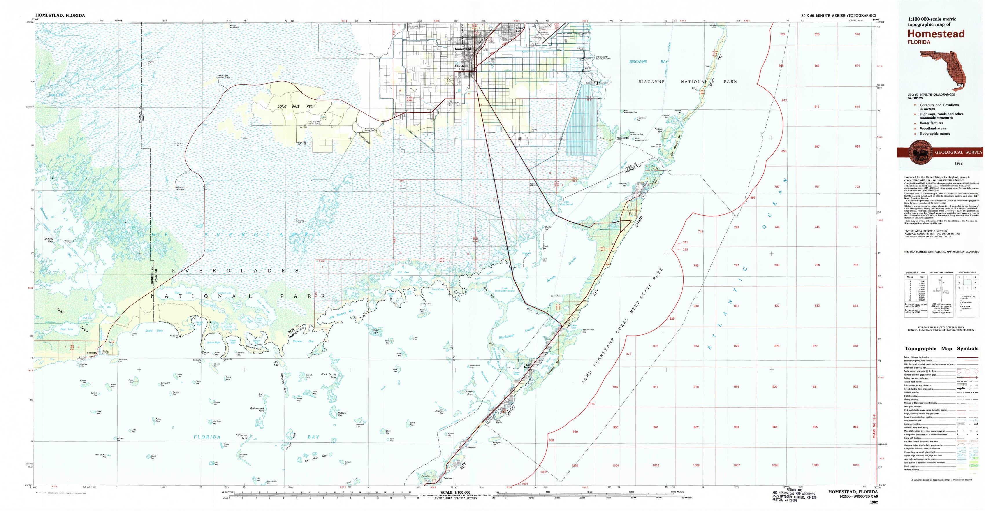
Homestead Topo Map Florida
To zoom in, hover over the map of Homestead
USGS Topo Map 25080a1 - 1:100,000 scale
| Topo Map Name: | Homestead |
| USGS Topo Quad ID: | 25080a1 |
| Print Size: | ca. 39" wide x 24" high |
| Southeast Coordinates: | 25° N latitude / 80° W longitude |
| Map Center Coordinates: | 25.25° N latitude / 80.5° W longitude |
| U.S. State: | FL |
| Filename: | 25080a1.jpg |
| Download Map JPG Image: | Homestead topo map 1:100,000 scale |
| Map Type: | Topographic |
| Topo Series: | 30´x60´ |
| Map Scale: | 1:100,000 |
| Source of Map Images: | United States Geological Survey (USGS) |
| Alternate Map Versions: |
Homestead FL 1982, updated 1983 Download PDF Buy paper map Homestead FL 1982, updated 1983 Download PDF Buy paper map |
1:100,000 Topos surrounding Homestead
Everglades City |
Miami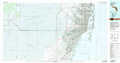 |
|
Cape Sable |
Homestead |
|
Key West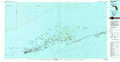 |
Islamorada |
> Back to 25080a1 at 1:250,000 scale
> Back to U.S. Topo Maps home
1:24,000 Topo Quads covered by the spatial extent of this 100k map (Homestead)
|
Tarpon Bay 
|
Pa-Hay-Okee Lookout Tower 
|
Long Pine Key 
|
Royal Palm Ranger Station 
|
Homestead 
|
Arsenicker Keys 
|
Elliott Key 
|
|
|
Whitewater Bay East 
|
Mahogany Hammock 
|
Taylor Slough 
|
Royal Palm Ranger Station Se 
|
Glades 
|
Card Sound 
|
Pacific Reef 
|
|
|
Flamingo 
|
West Lake 
|
Madeira Bay 
|
Joe Bay 
|
Blackwater Sound 
|
Garden Cove 
|
||
|
Clive Key 
|
Pelican Keys 
|
Calusa Keys 
|
Tavernier 
|
Rock Harbor 
|