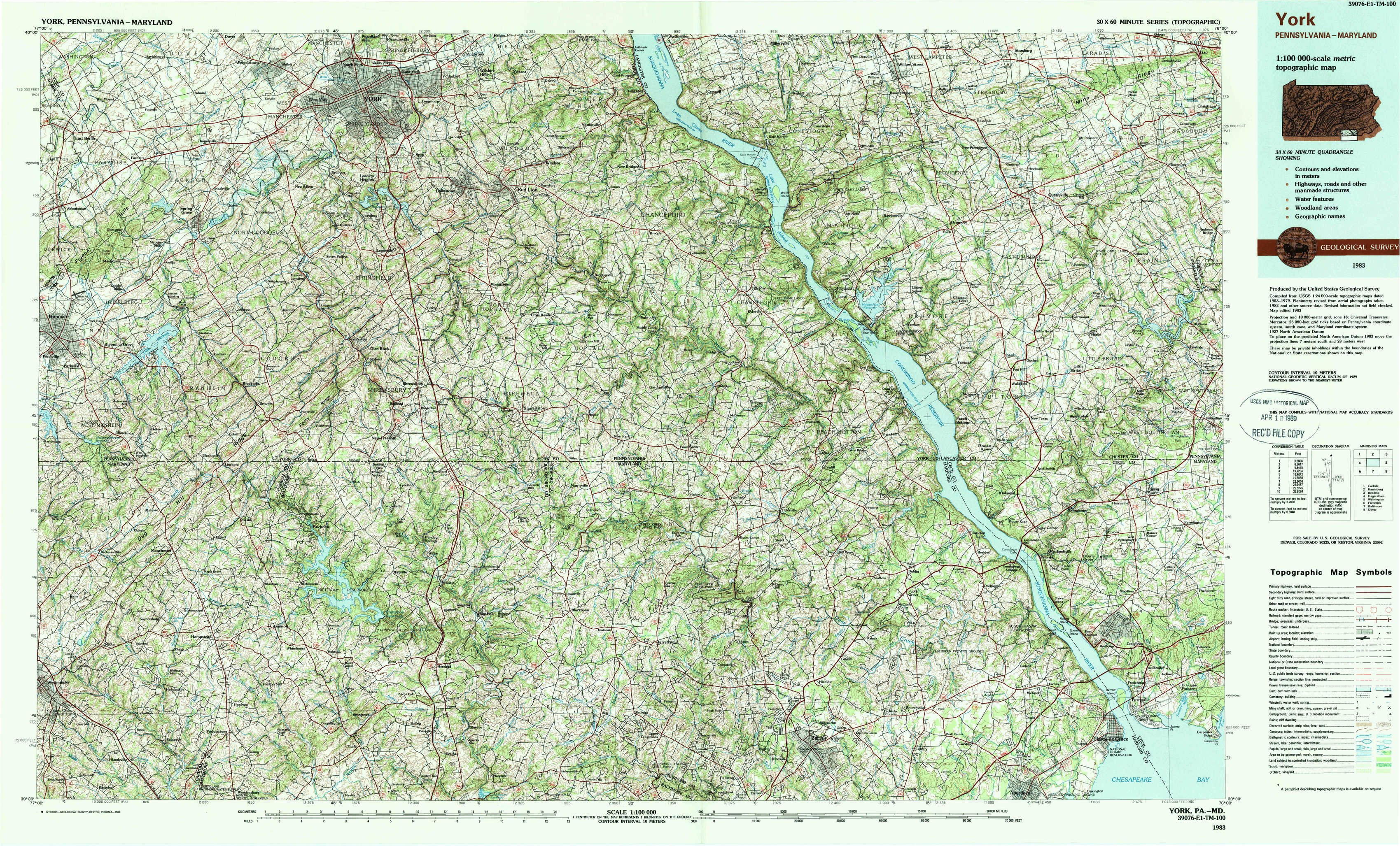
York Topo Map Pennsylvania
To zoom in, hover over the map of York
USGS Topo Map 39076e1 - 1:100,000 scale
| Topo Map Name: | York |
| USGS Topo Quad ID: | 39076e1 |
| Print Size: | ca. 39" wide x 24" high |
| Southeast Coordinates: | 39.5° N latitude / 76° W longitude |
| Map Center Coordinates: | 39.75° N latitude / 76.5° W longitude |
| U.S. States: | PA, MD |
| Filename: | 39076e1.jpg |
| Download Map JPG Image: | York topo map 1:100,000 scale |
| Map Type: | Topographic |
| Topo Series: | 30´x60´ |
| Map Scale: | 1:100,000 |
| Source of Map Images: | United States Geological Survey (USGS) |
| Alternate Map Versions: |
York PA 1983, updated 1984 Download PDF Buy paper map York PA 1983, updated 1988 Download PDF Buy paper map |
1:100,000 Topos surrounding York
Carlisle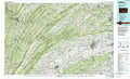 |
Harrisburg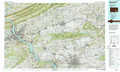 |
Reading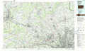 |
Hagerstown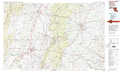 |
York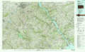 |
Wilmington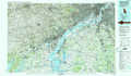 |
Frederick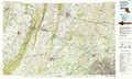 |
Baltimore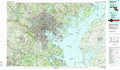 |
Dover |
> Back to 39076a1 at 1:250,000 scale
> Back to U.S. Topo Maps home
1:24,000 Topo Quads covered by the spatial extent of this 100k map (York)
|
Abbottstown 
|
West York 
|
York 
|
Red Lion 
|
Safe Harbor 
|
Conestoga 
|
Quarryville 
|
Gap 
|
|
Hanover 
|
Seven Valleys 
|
Glen Rock 
|
Stewartstown 
|
Airville 
|
Holtwood 
|
Wakefield 
|
Kirkwood 
|
|
Manchester 
|
Lineboro 
|
New Freedom 
|
Norrisville 
|
Fawn Grove 
|
Delta 
|
Conowingo Dam 
|
Rising Sun 
|
|
Westminister 
|
Hampstead 
|
Hereford 
|
Phoenix 
|
Jarrettsville 
|
Bel Air 
|
Aberdeen 
|
Havre De Grace 
|