Spanish Fort Ne Topo Map Louisiana
To zoom in, hover over the map of Spanish Fort Ne
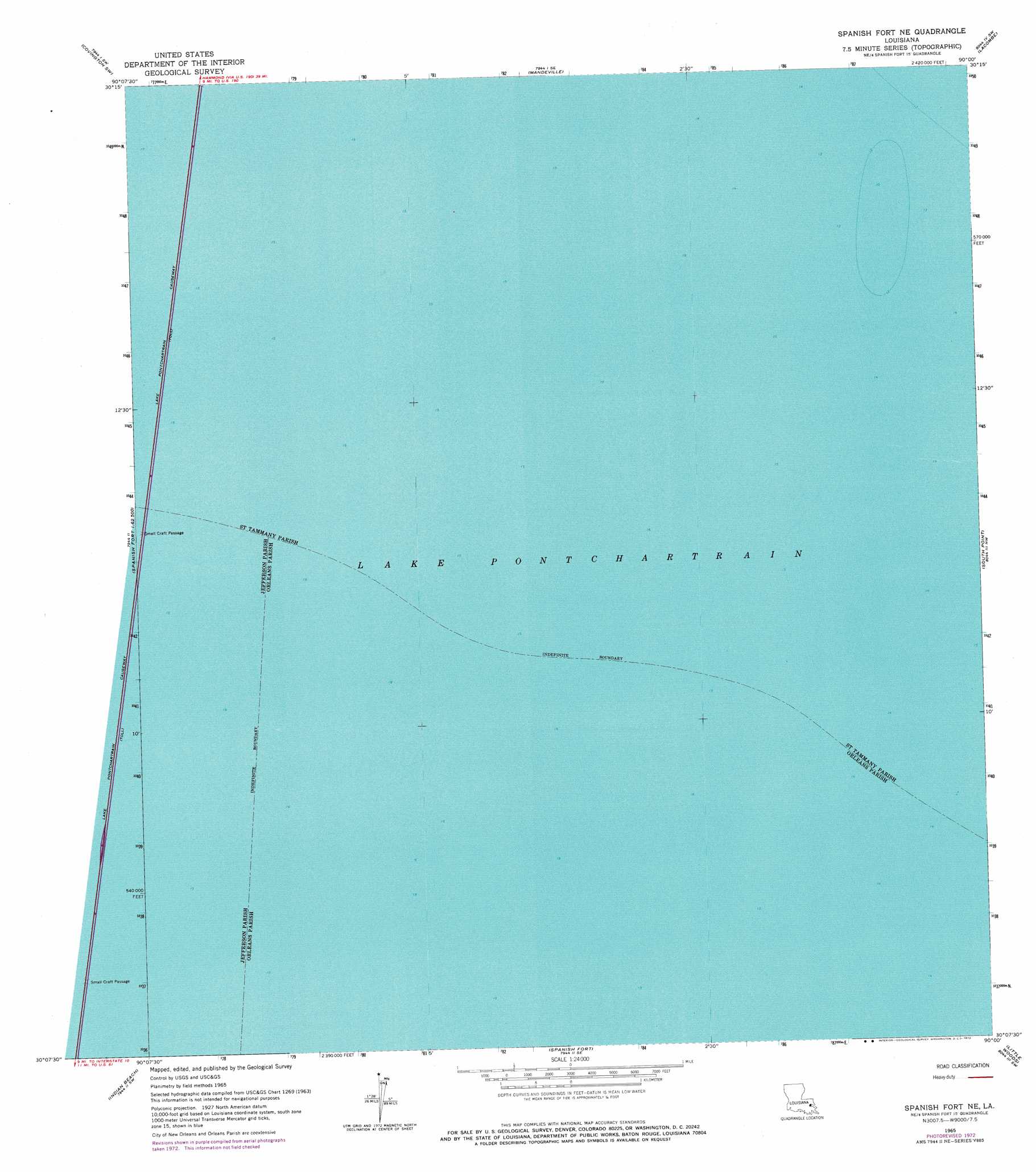
USGS Topo Quad 30090b1 - 1:24,000 scale
| Topo Map Name: | Spanish Fort Ne |
| USGS Topo Quad ID: | 30090b1 |
| Print Size: | ca. 21 1/4" wide x 27" high |
| Southeast Coordinates: | 30.125° N latitude / 90° W longitude |
| Map Center Coordinates: | 30.1875° N latitude / 90.0625° W longitude |
| U.S. State: | LA |
| Filename: | o30090b1.jpg |
| Download Map JPG Image: | Spanish Fort Ne topo map 1:24,000 scale |
| Map Type: | Topographic |
| Topo Series: | 7.5´ |
| Map Scale: | 1:24,000 |
| Source of Map Images: | United States Geological Survey (USGS) |
| Alternate Map Versions: |
Spanish Fort NE LA 1965, updated 1966 Download PDF Buy paper map Spanish Fort NE LA 1965, updated 1973 Download PDF Buy paper map Spanish Fort NE LA 2012 Download PDF Buy paper map Spanish Fort NE LA 2015 Download PDF Buy paper map |
1:24,000 Topo Quads surrounding Spanish Fort Ne
Ponchatoula Ne |
Madisonville |
Covington |
Saint Tammany |
Hickory |
Ponchatoula Se |
Covington Sw |
Mandeville |
Lacombe |
Slidell |
Bonnett Carre Ne |
Spanish Fort Ne |
South Point |
North Shore |
|
La Branche |
Indian Beach |
Spanish Fort |
Little Woods |
Chef Menteur |
Luling |
New Orleans West |
New Orleans East |
Chalmette |
Martello Castle |
> Back to 30090a1 at 1:100,000 scale
> Back to 30090a1 at 1:250,000 scale
> Back to U.S. Topo Maps home
Spanish Fort Ne topo map: Gazetteer
Spanish Fort Ne: Bridges
Lake Pontchartrain Causeway elevation -1m -4′Spanish Fort Ne: Lakes
Lake Pontchartrain elevation -1m -4′Spanish Fort Ne digital topo map on disk
Buy this Spanish Fort Ne topo map showing relief, roads, GPS coordinates and other geographical features, as a high-resolution digital map file on DVD: