Windthorst Topo Map Texas
To zoom in, hover over the map of Windthorst
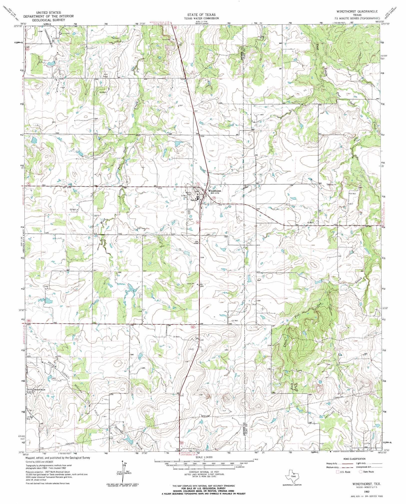
USGS Topo Quad 33098e4 - 1:24,000 scale
| Topo Map Name: | Windthorst |
| USGS Topo Quad ID: | 33098e4 |
| Print Size: | ca. 21 1/4" wide x 27" high |
| Southeast Coordinates: | 33.5° N latitude / 98.375° W longitude |
| Map Center Coordinates: | 33.5625° N latitude / 98.4375° W longitude |
| U.S. State: | TX |
| Filename: | o33098e4.jpg |
| Download Map JPG Image: | Windthorst topo map 1:24,000 scale |
| Map Type: | Topographic |
| Topo Series: | 7.5´ |
| Map Scale: | 1:24,000 |
| Source of Map Images: | United States Geological Survey (USGS) |
| Alternate Map Versions: |
Windthorst TX 1962, updated 1964 Download PDF Buy paper map Windthorst TX 2010 Download PDF Buy paper map Windthorst TX 2012 Download PDF Buy paper map Windthorst TX 2016 Download PDF Buy paper map |
1:24,000 Topo Quads surrounding Windthorst
Holliday |
Lake Wichita |
Sloop Creek |
Jolly |
Henrietta |
Dads Corner |
Archer City Ne |
Scotland |
Deer Creek |
Bluegrove |
Archer City West |
Archer City East |
Windthorst |
Scotland Se |
Joy |
Bobcat Bluff |
Prickly Pear Branch |
Darnell Branch |
Antelope |
Postoak |
True |
Loving |
Markley |
Lynn Creek |
Johnson Lake |
> Back to 33098e1 at 1:100,000 scale
> Back to 33098a1 at 1:250,000 scale
> Back to U.S. Topo Maps home
Windthorst topo map: Gazetteer
Windthorst: Dams
Vieth Lake Dam elevation 313m 1026′Windthorst Lake Dam elevation 307m 1007′
Windthorst: Oilfields
Antelope Oil Field elevation 336m 1102′Archer County Regular Oil Field elevation 334m 1095′
Scaling Oil Field elevation 297m 974′
Transcontinental Oil Field elevation 306m 1003′
Windthorst: Populated Places
Windthorst elevation 315m 1033′Windthorst: Reservoirs
Vieth Lake elevation 313m 1026′Windthorst Lake elevation 307m 1007′
Windthorst digital topo map on disk
Buy this Windthorst topo map showing relief, roads, GPS coordinates and other geographical features, as a high-resolution digital map file on DVD: