Paradise Valley Topo Map Arizona
To zoom in, hover over the map of Paradise Valley
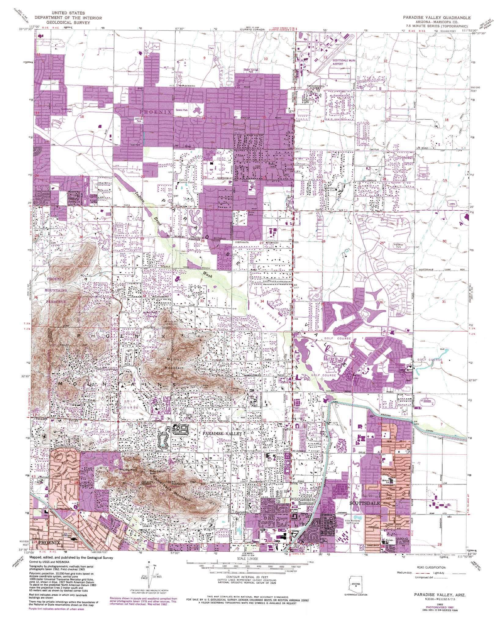
USGS Topo Quad 33111e8 - 1:24,000 scale
| Topo Map Name: | Paradise Valley |
| USGS Topo Quad ID: | 33111e8 |
| Print Size: | ca. 21 1/4" wide x 27" high |
| Southeast Coordinates: | 33.5° N latitude / 111.875° W longitude |
| Map Center Coordinates: | 33.5625° N latitude / 111.9375° W longitude |
| U.S. State: | AZ |
| Filename: | o33111e8.jpg |
| Download Map JPG Image: | Paradise Valley topo map 1:24,000 scale |
| Map Type: | Topographic |
| Topo Series: | 7.5´ |
| Map Scale: | 1:24,000 |
| Source of Map Images: | United States Geological Survey (USGS) |
| Alternate Map Versions: |
Paradise Valley AZ 1965, updated 1966 Download PDF Buy paper map Paradise Valley AZ 1965, updated 1975 Download PDF Buy paper map Paradise Valley AZ 1965, updated 1983 Download PDF Buy paper map Paradise Valley AZ 1965, updated 1983 Download PDF Buy paper map Paradise Valley AZ 1971, updated 1972 Download PDF Buy paper map Paradise Valley AZ 2011 Download PDF Buy paper map Paradise Valley AZ 2014 Download PDF Buy paper map |
1:24,000 Topo Quads surrounding Paradise Valley
Biscuit Flat |
New River Se |
Cave Creek |
Wildcat Hill |
Bartlett Dam |
Hedgpeth Hills |
Union Hills |
Currys Corner |
Mcdowell Peak |
Fort Mcdowell |
Glendale |
Sunnyslope |
Paradise Valley |
Sawik Mountain |
Granite Reef Dam |
Fowler |
Phoenix |
Tempe |
Mesa |
Buckhorn |
Laveen |
Lone Butte |
Guadalupe |
Chandler |
Higley |
> Back to 33111e1 at 1:100,000 scale
> Back to 33110a1 at 1:250,000 scale
> Back to U.S. Topo Maps home
Paradise Valley topo map: Gazetteer
Paradise Valley: Airports
Air Commerce Center Heliport elevation 440m 1443′Granite Airport elevation 446m 1463′
Scottsdale Airport elevation 449m 1473′
Scottsdale Memorial Hospital-North Heliport elevation 417m 1368′
Scottsdale Municipal Airport elevation 444m 1456′
Westcor Heliport elevation 420m 1377′
Westcor Home Office Heliport elevation 420m 1377′
Paradise Valley: Basins
Echo Canyon Bowl elevation 492m 1614′Paradise Valley: Canals
Arizona Canal elevation 381m 1250′Indian Bend Wasteway elevation 388m 1272′
Paradise Valley: Lakes
Marguerite Lake elevation 401m 1315′Paradise Valley: Parks
Agua Linda Park elevation 388m 1272′Camelback Mountain Park elevation 785m 2575′
Camelback Walk elevation 408m 1338′
Chaparral Park elevation 385m 1263′
Chestnutt Park elevation 382m 1253′
Comanche Park elevation 398m 1305′
Crossed Arrows Park elevation 439m 1440′
Echo Canyon Park elevation 597m 1958′
Indian Bend Wash Greenbelt elevation 380m 1246′
McCormick Railroad Park elevation 394m 1292′
Mountain View Park elevation 409m 1341′
Paradise Park elevation 412m 1351′
Sandpiper Park elevation 437m 1433′
Sereno Park elevation 428m 1404′
Shoshone Park elevation 394m 1292′
Sonrisa Park elevation 426m 1397′
Sweetwater Park elevation 427m 1400′
Zuni Park elevation 396m 1299′
Paradise Valley: Populated Places
Buenavante elevation 425m 1394′Camelback Estates IV elevation 419m 1374′
Cinco Soles elevation 425m 1394′
Clearview Hills elevation 421m 1381′
Cobblestone Square elevation 424m 1391′
Country Horizons elevation 412m 1351′
Desert Wind II elevation 429m 1407′
Doubletree Canyon elevation 434m 1423′
El Paseo elevation 404m 1325′
Estados de La Mancha II elevation 412m 1351′
Firebrand Ranch elevation 427m 1400′
Gainey Ranch elevation 406m 1332′
Greenbrier East elevation 434m 1423′
Heritage Terrace elevation 406m 1332′
Hyde Park elevation 437m 1433′
Kensington elevation 434m 1423′
Las Villas elevation 393m 1289′
Links Point elevation 421m 1381′
McCormick Ranch elevation 399m 1309′
Orangetree Estates elevation 417m 1368′
Paradise Valley elevation 409m 1341′
Paradise Village North II elevation 432m 1417′
Santiago elevation 437m 1433′
Santo Tomas elevation 395m 1295′
Scottsdale elevation 0m 0′
Shadow Ridge II elevation 440m 1443′
Sun Valley Mobile Home Park elevation 421m 1381′
Sweetwater Garden elevation 426m 1397′
Sweetwater Ranch elevation 434m 1423′
The Covey elevation 436m 1430′
Village Fairways elevation 421m 1381′
Vista del Cerro elevation 449m 1473′
Windemere elevation 389m 1276′
Woodleaf elevation 387m 1269′
Woodleaf II elevation 421m 1381′
Paradise Valley: Post Offices
Airpark Post Office elevation 443m 1453′Hopi Post Office elevation 400m 1312′
Paradise Valley: Springs
Bad Spring elevation 435m 1427′Paradise Valley: Streams
Indian Bend Wash elevation 399m 1309′Paradise Valley: Summits
Camelback Mountain elevation 817m 2680′Mummy Mountain elevation 616m 2020′
The Praying Monk elevation 620m 2034′
Paradise Valley: Valleys
Echo Canyon elevation 524m 1719′Paradise Valley digital topo map on disk
Buy this Paradise Valley topo map showing relief, roads, GPS coordinates and other geographical features, as a high-resolution digital map file on DVD: