Allan Dam Topo Map South Dakota
To zoom in, hover over the map of Allan Dam
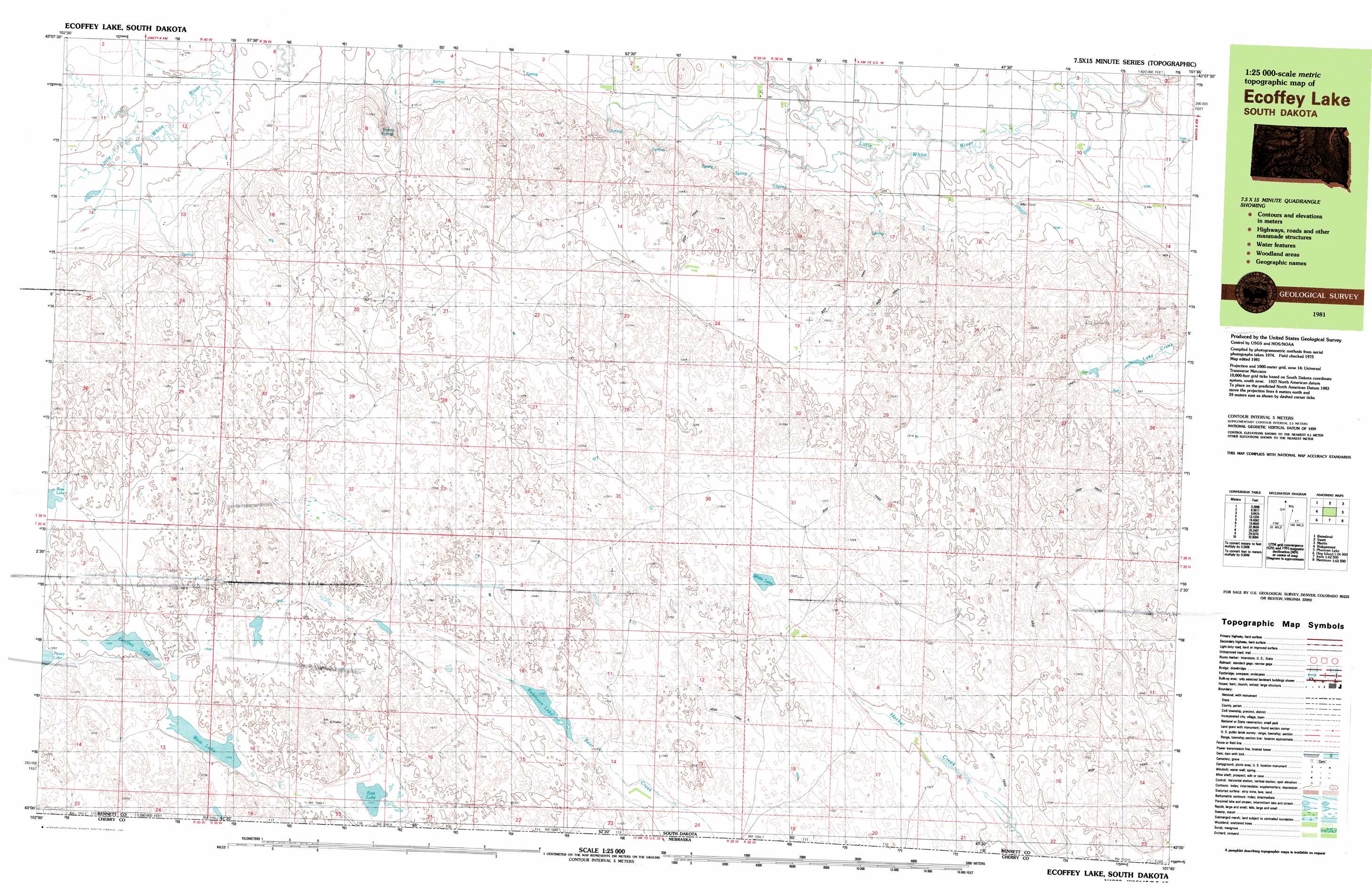
USGS Topo Quad 43101a7 - 1:25,000 scale
| Topo Map Name: | Allan Dam |
| USGS Topo Quad ID: | 43101a7 |
| Print Size: | ca. 39" wide x 24" high |
| Southeast Coordinates: | 43° N latitude / 101.75° W longitude |
| Map Center Coordinates: | 43.0625° N latitude / 101.875° W longitude |
| U.S. State: | SD |
| Filename: | k43101a7.jpg |
| Download Map JPG Image: | Allan Dam topo map 1:25,000 scale |
| Map Type: | Topographic |
| Topo Series: | 7.5´x15´ |
| Map Scale: | 1:25,000 |
| Source of Map Images: | United States Geological Survey (USGS) |
| Alternate Map Versions: |
Ecoffey Lake SD 1981, updated 1981 Download PDF Buy paper map |
1:24,000 Topo Quads surrounding Allan Dam
Yellow Bear Camp |
Allen Se |
Patricia |
||
Batesland |
Swett Ne |
Deadmans Lake |
||
Two Lance Lake |
Allan Dam |
Phantom Lake |
||
Hog Island |
Irwin |
Trumbull Lake |
Merriman |
Merriman Ne |
Gordon Se |
Irwin Sw |
Irwin Se |
Merriman Sw |
Merriman Se |
> Back to 43101a1 at 1:100,000 scale
> Back to 43100a1 at 1:250,000 scale
> Back to U.S. Topo Maps home
Allan Dam topo map: Gazetteer
Allan Dam: Lakes
East Lake elevation 1042m 3418′Ecoffey Lake elevation 1049m 3441′
Posey Lake elevation 1053m 3454′
Robinson Lake elevation 1038m 3405′
West Lake elevation 1048m 3438′
White Lake elevation 1028m 3372′
Allan Dam: Springs
Emma Springs elevation 1033m 3389′Allan Dam digital topo map on disk
Buy this Allan Dam topo map showing relief, roads, GPS coordinates and other geographical features, as a high-resolution digital map file on DVD:
Eastern North Dakota & Eastern South Dakota
Buy digital topo maps: Eastern North Dakota & Eastern South Dakota