New Auburn Topo Map Wisconsin
To zoom in, hover over the map of New Auburn
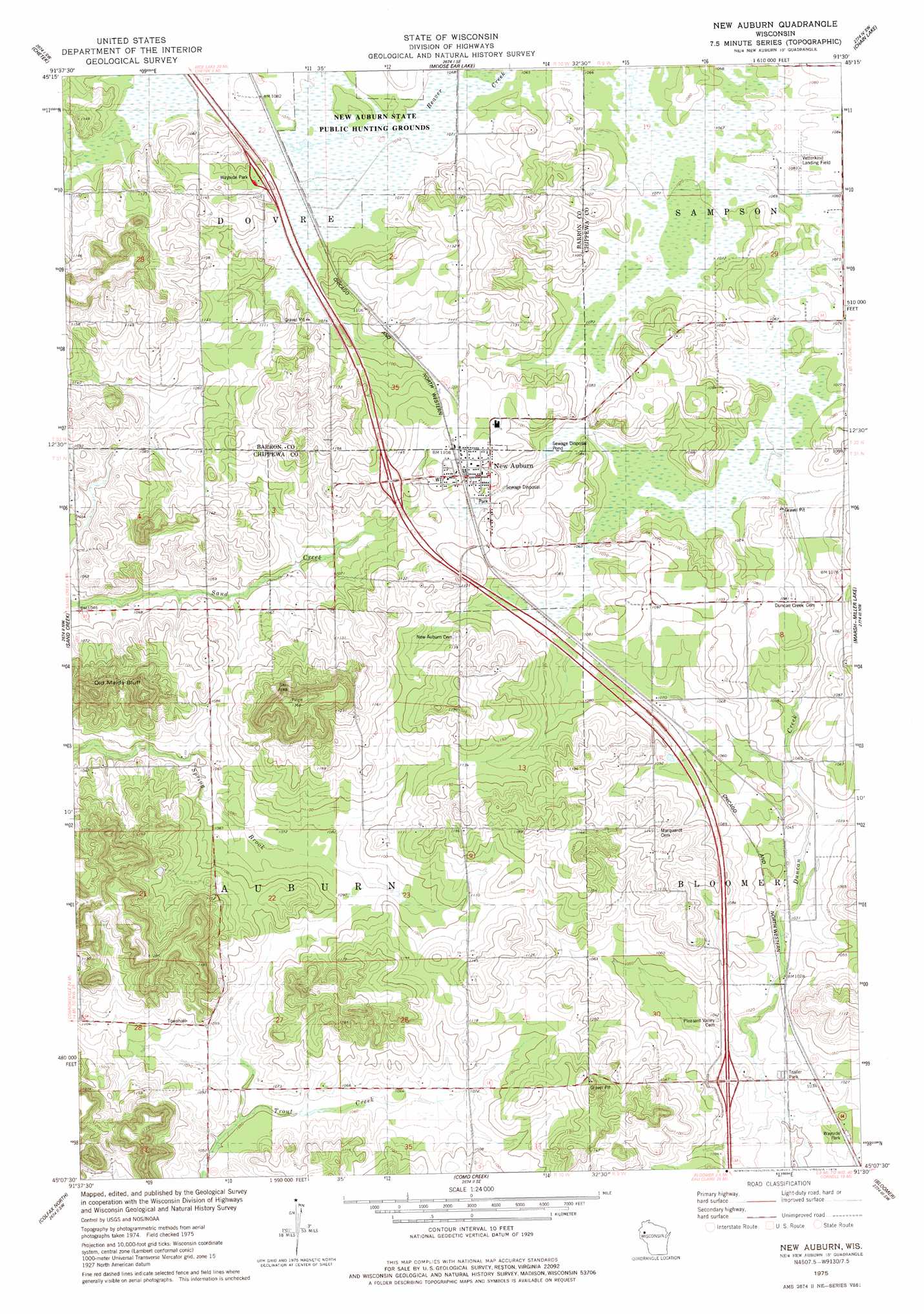
USGS Topo Quad 45091b5 - 1:24,000 scale
| Topo Map Name: | New Auburn |
| USGS Topo Quad ID: | 45091b5 |
| Print Size: | ca. 21 1/4" wide x 27" high |
| Southeast Coordinates: | 45.125° N latitude / 91.5° W longitude |
| Map Center Coordinates: | 45.1875° N latitude / 91.5625° W longitude |
| U.S. State: | WI |
| Filename: | o45091b5.jpg |
| Download Map JPG Image: | New Auburn topo map 1:24,000 scale |
| Map Type: | Topographic |
| Topo Series: | 7.5´ |
| Map Scale: | 1:24,000 |
| Source of Map Images: | United States Geological Survey (USGS) |
| Alternate Map Versions: |
New Auburn WI 1975, updated 1978 Download PDF Buy paper map New Auburn WI 2010 Download PDF Buy paper map New Auburn WI 2013 Download PDF Buy paper map New Auburn WI 2015 Download PDF Buy paper map |
1:24,000 Topo Quads surrounding New Auburn
Barron |
Rice Lake South |
Strickland |
Weyerhauser |
Bruce |
Dallas |
Chetek |
Moose Ear Lake |
Chain Lake |
Fireside Lakes |
Ridgeland Ne |
Sand Creek |
New Auburn |
Marsh-Miller Lake |
Bob Lake |
Norton |
Colfax North |
Como Creek |
Bloomer |
Jim Falls |
Rusk |
Colfax South |
Albertville |
Chippewa Falls |
Lake Wissota |
> Back to 45091a1 at 1:100,000 scale
> Back to 45090a1 at 1:250,000 scale
> Back to U.S. Topo Maps home
New Auburn topo map: Gazetteer
New Auburn: Airports
Flying O Airport elevation 330m 1082′Vetterkind Strip elevation 328m 1076′
New Auburn: Cliffs
Old Maids Bluff elevation 386m 1266′New Auburn: Dams
New Auburn Wildlife Area G12 565 Dam elevation 326m 1069′New Auburn: Parks
New Auburn Sedge Meadow State Natural Area elevation 327m 1072′New Auburn State Public Hunting Grounds elevation 326m 1069′
New Auburn: Populated Places
New Auburn elevation 336m 1102′New Auburn digital topo map on disk
Buy this New Auburn topo map showing relief, roads, GPS coordinates and other geographical features, as a high-resolution digital map file on DVD: