Harts Lake Topo Map Washington
To zoom in, hover over the map of Harts Lake
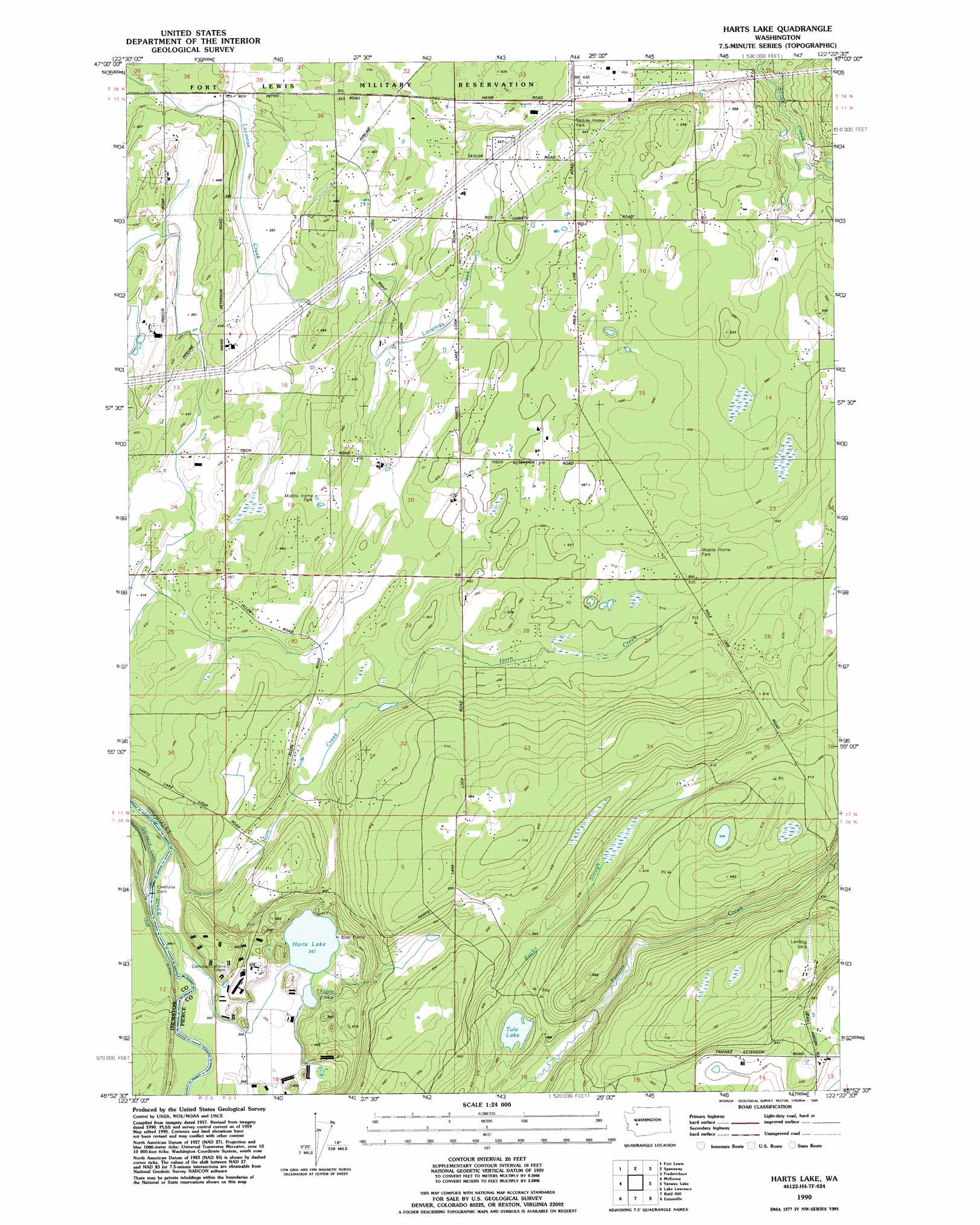
USGS Topo Quad 46122h4 - 1:24,000 scale
| Topo Map Name: | Harts Lake |
| USGS Topo Quad ID: | 46122h4 |
| Print Size: | ca. 21 1/4" wide x 27" high |
| Southeast Coordinates: | 46.875° N latitude / 122.375° W longitude |
| Map Center Coordinates: | 46.9375° N latitude / 122.4375° W longitude |
| U.S. State: | WA |
| Filename: | o46122h4.jpg |
| Download Map JPG Image: | Harts Lake topo map 1:24,000 scale |
| Map Type: | Topographic |
| Topo Series: | 7.5´ |
| Map Scale: | 1:24,000 |
| Source of Map Images: | United States Geological Survey (USGS) |
| Alternate Map Versions: |
Harts Lake WA 1959, updated 1967 Download PDF Buy paper map Harts Lake WA 1959, updated 1969 Download PDF Buy paper map Harts Lake WA 1959, updated 1986 Download PDF Buy paper map Harts Lake WA 1990, updated 1995 Download PDF Buy paper map Harts Lake WA 2011 Download PDF Buy paper map Harts Lake WA 2013 Download PDF Buy paper map |
1:24,000 Topo Quads surrounding Harts Lake
Mcneil Island |
Steilacoom |
Tacoma South |
Puyallup |
Sumner |
Nisqually |
Fort Lewis |
Spanaway |
Frederickson |
Orting |
Tenalquot Prarie |
Mckenna |
Harts Lake |
Tanwax Lake |
Lake Kapowsin |
Vail |
Lake Lawrence |
Bald Hill |
Eatonville |
Elbe |
Onalaska Nw |
Bernier Creek |
Newaukum Lake |
The Rockies |
Mineral |
> Back to 46122e1 at 1:100,000 scale
> Back to 46122a1 at 1:250,000 scale
> Back to U.S. Topo Maps home
Harts Lake topo map: Gazetteer
Harts Lake: Airports
Asplund Field elevation 234m 767′Harts Lake: Dams
Centralia Dam elevation 102m 334′Harts Lake: Lakes
Harts Lake elevation 107m 351′Little Lake elevation 107m 351′
Tule Lake elevation 143m 469′
Harts Lake: Streams
Horn Creek elevation 100m 328′Lacamas Creek elevation 132m 433′
Rocky Slough elevation 151m 495′
Harts Lake digital topo map on disk
Buy this Harts Lake topo map showing relief, roads, GPS coordinates and other geographical features, as a high-resolution digital map file on DVD: