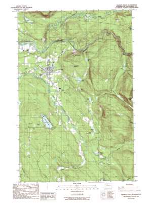
Granite Falls Topo Map Washington
To zoom in, hover over the map of Granite Falls
USGS Topo Quad 48121a8 - 1:24,000 scale
| Topo Map Name: | Granite Falls |
| USGS Topo Quad ID: | 48121a8 |
| Print Size: | ca. 21 1/4" wide x 27" high |
| Southeast Coordinates: | 48° N latitude / 121.875° W longitude |
| Map Center Coordinates: | 48.0625° N latitude / 121.9375° W longitude |
| U.S. State: | WA |
| Filename: | o48121a8.jpg |
| Download Map JPG Image: | Granite Falls topo map 1:24,000 scale |
| Map Type: | Topographic |
| Topo Series: | 7.5´ |
| Map Scale: | 1:24,000 |
| Source of Map Images: | United States Geological Survey (USGS) |
| Alternate Map Versions: |
Granite Falls WA 1989, updated 1989 Download PDF Buy paper map Granite Falls WA 1989, updated 1989 Download PDF Buy paper map Granite Falls WA 2011 Download PDF Buy paper map Granite Falls WA 2014 Download PDF Buy paper map |
1:24,000 Topo Quads surrounding Granite Falls
> Back to 48121a1 at 1:100,000 scale
> Back to 48120a1 at 1:250,000 scale
> Back to U.S. Topo Maps home
Granite Falls topo map: Gazetteer
Granite Falls: Dams
Gardner Dam elevation 99m 324′Pilchuck River Dam elevation 155m 508′
Sweet Dam elevation 117m 383′
Granite Falls: Falls
Granite Falls elevation 90m 295′Granite Falls: Lakes
Bosworth Lake elevation 171m 561′Boyd Lake elevation 158m 518′
Carlson Pond elevation 183m 600′
Chitwood Lake elevation 227m 744′
Gardner Lake elevation 99m 324′
Hubbard Lake elevation 184m 603′
Little Menzel Lake elevation 218m 715′
Menzel Lake elevation 146m 479′
Milard Lake elevation 123m 403′
Smelling Lake elevation 268m 879′
Swartz Lake elevation 156m 511′
Granite Falls: Mines
Wayside Mine elevation 132m 433′Granite Falls: Parks
Perrigone Memorial Park elevation 101m 331′Granite Falls: Populated Places
Granite Falls elevation 124m 406′Lake Bosworth elevation 189m 620′
Pilchuck elevation 136m 446′
Granite Falls: Reservoirs
Granite Falls Reservoir elevation 204m 669′Granite Falls: Streams
Canyon Creek elevation 62m 203′Coon Creek elevation 163m 534′
Purdy Creek elevation 135m 442′
Granite Falls: Summits
Iron Mountain elevation 328m 1076′Granite Falls digital topo map on disk
Buy this Granite Falls topo map showing relief, roads, GPS coordinates and other geographical features, as a high-resolution digital map file on DVD:


