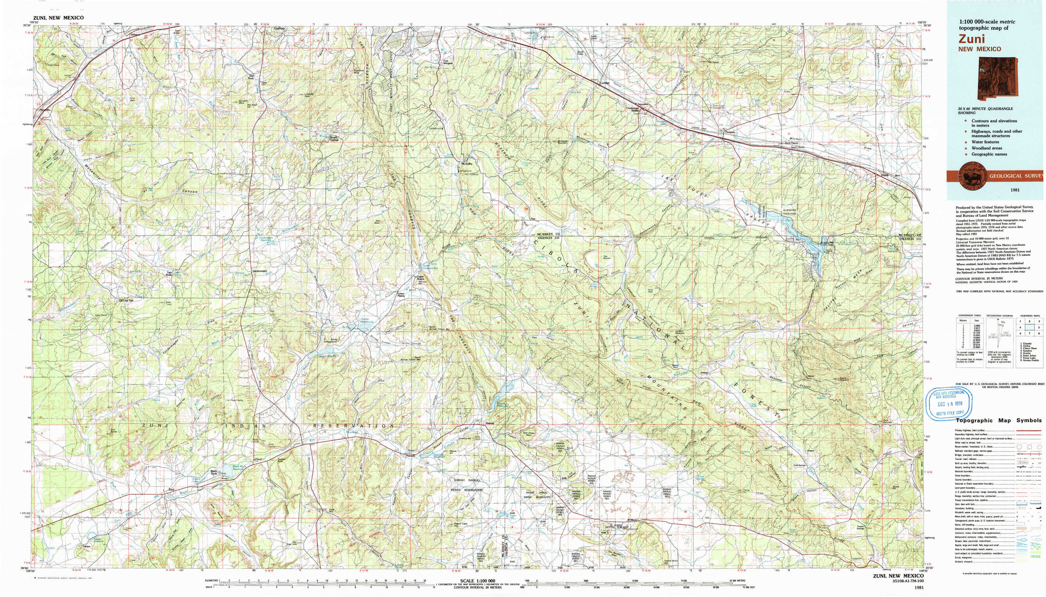
Zuni Topo Map New Mexico
To zoom in, hover over the map of Zuni
USGS Topo Map 35108a1 - 1:100,000 scale
| Topo Map Name: | Zuni |
| USGS Topo Quad ID: | 35108a1 |
| Print Size: | ca. 39" wide x 24" high |
| Southeast Coordinates: | 35° N latitude / 108° W longitude |
| Map Center Coordinates: | 35.25° N latitude / 108.5° W longitude |
| U.S. State: | NM |
| Filename: | 35108a1.jpg |
| Download Map JPG Image: | Zuni topo map 1:100,000 scale |
| Map Type: | Topographic |
| Topo Series: | 30´x60´ |
| Map Scale: | 1:100,000 |
| Source of Map Images: | United States Geological Survey (USGS) |
| Alternate Map Versions: |
Zuni NM 1981 Download PDF Buy paper map Zuni NM 1981, updated 1991 Download PDF Buy paper map |
1:100,000 Topos surrounding Zuni
Ganado |
Gallup |
Chaco Mesa |
Sanders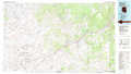 |
Zuni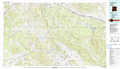 |
Grants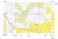 |
Saint Johns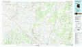 |
Fence Lake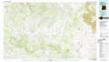 |
Acoma Pueblo |
> Back to 35108a1 at 1:250,000 scale
> Back to U.S. Topo Maps home
1:24,000 Topo Quads covered by the spatial extent of this 100k map (Zuni)
|
Manuelito 
|
Twin Buttes 
|
Bread Springs 
|
Fort Wingate 
|
Ciniza 
|
Continental Divide 
|
Thoreau 
|
Thoreau Ne 
|
|
Jones Ranch School 
|
Vander Wagen 
|
Pinehaven 
|
Upper Nutria 
|
Page 
|
Cottonwood Canyon 
|
Pine Canyon 
|
Prewitt 
|
|
Chi Chil Tah 
|
Vanderwagen Draw 
|
Horsehead Canyon Nw 
|
Burned Timber Canyon 
|
Ramah 
|
Kettner Canyon 
|
Post Office Flat 
|
Mount Sedgwick 
|
|
Tekapo 
|
Zuni 
|
Horsehead Canyon 
|
Pescado 
|
Togeye Lake 
|
El Morro 
|
Valle Largo 
|
Paxton Springs 
|