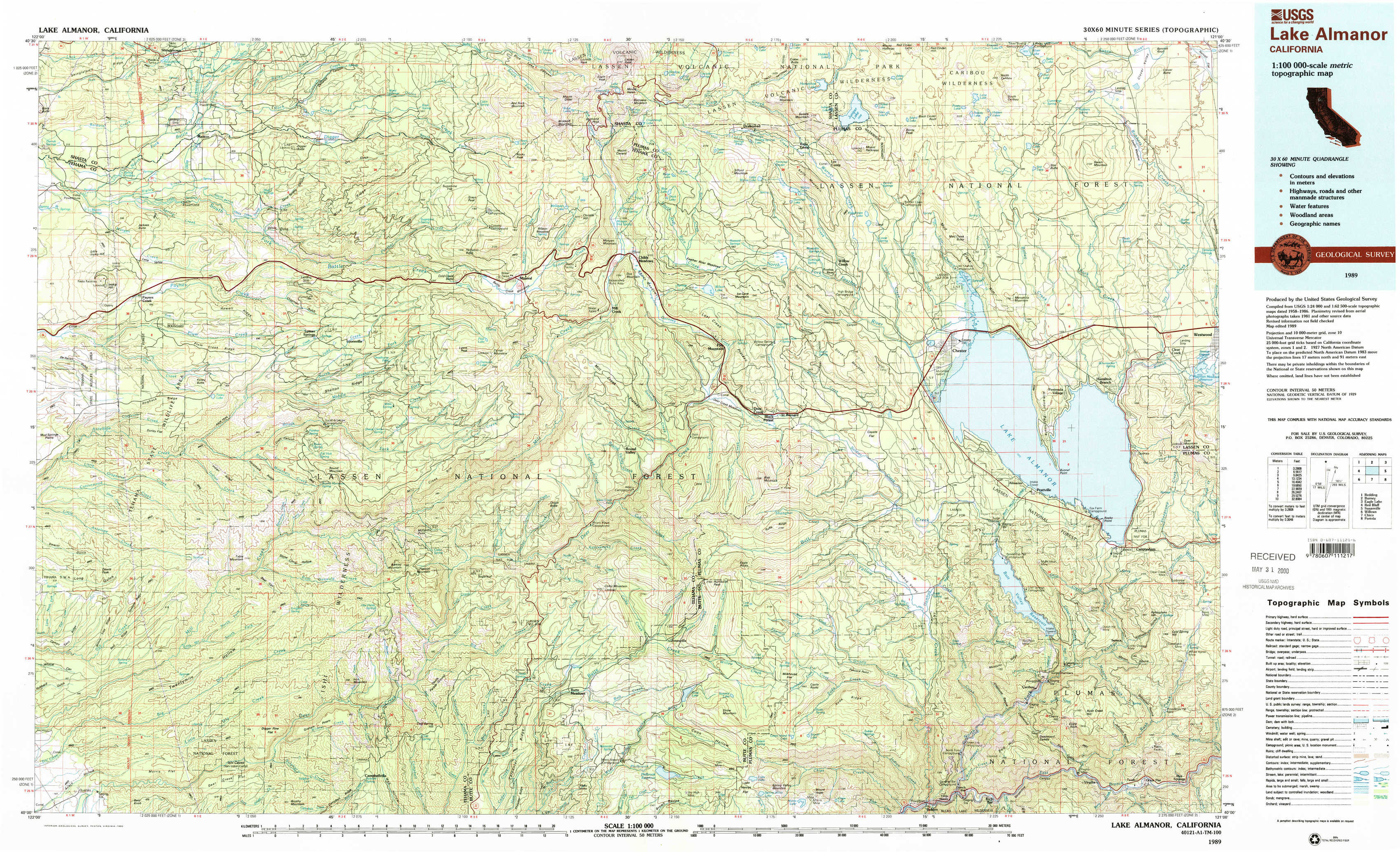
Lake Almanor Topo Map California
To zoom in, hover over the map of Lake Almanor
USGS Topo Map 40121a1 - 1:100,000 scale
| Topo Map Name: | Lake Almanor |
| USGS Topo Quad ID: | 40121a1 |
| Print Size: | ca. 39" wide x 24" high |
| Southeast Coordinates: | 40° N latitude / 121° W longitude |
| Map Center Coordinates: | 40.25° N latitude / 121.5° W longitude |
| U.S. State: | CA |
| Filename: | 40121a1.jpg |
| Download Map JPG Image: | Lake Almanor topo map 1:100,000 scale |
| Map Type: | Topographic |
| Topo Series: | 30´x60´ |
| Map Scale: | 1:100,000 |
| Source of Map Images: | United States Geological Survey (USGS) |
| Alternate Map Versions: |
Lake Almanor CA 1989, updated 1990 Download PDF Buy paper map Lake Almanor CA 1989, updated 1990 Download PDF Buy paper map |
1:100,000 Topos surrounding Lake Almanor
Redding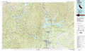 |
Burney |
Eagle Lake |
Red Bluff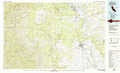 |
Lake Almanor |
Susanville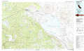 |
Willows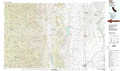 |
Chico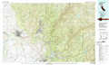 |
Portola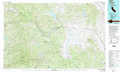 |
> Back to 40120a1 at 1:250,000 scale
> Back to U.S. Topo Maps home
1:24,000 Topo Quads covered by the spatial extent of this 100k map (Lake Almanor)
|
Shingletown 
|
Manton 
|
Grays Peak 
|
Lassen Peak 
|
Reading Peak 
|
Mount Harkness 
|
Red Cinder 
|
Swain Mountain 
|
|
Inskip Hill 
|
Finley Butte 
|
Lyonsville 
|
Mineral 
|
Childs Meadows 
|
Stover Mountain 
|
Chester 
|
Westwood West 
|
|
Dewitt Peak 
|
Panther Spring 
|
Barkley Mountain 
|
Onion Butte 
|
Humboldt Peak 
|
Humbug Valley 
|
Almanor 
|
Canyondam 
|
|
Acorn Hollow 
|
Ishi Caves 
|
Devils Parade Ground 
|
Butte Meadows 
|
Jonesville 
|
Belden 
|
Caribou 
|
Twain 
|