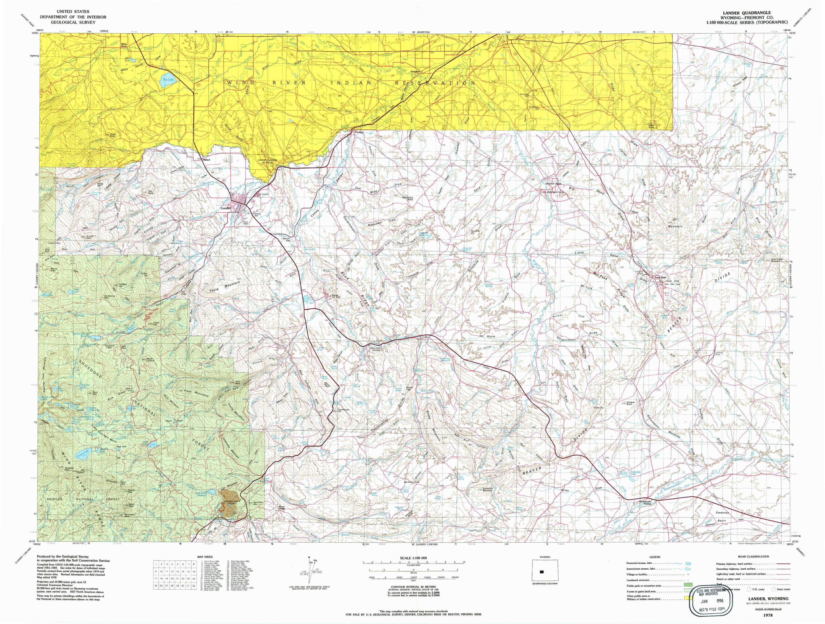
Lander Topo Map Wyoming
To zoom in, hover over the map of Lander
USGS Topo Map 42108e1 - 1:100,000 scale
| Topo Map Name: | Lander |
| USGS Topo Quad ID: | 42108e1 |
| Print Size: | ca. 39" wide x 24" high |
| Southeast Coordinates: | 42.5° N latitude / 108° W longitude |
| Map Center Coordinates: | 42.75° N latitude / 108.5° W longitude |
| U.S. State: | WY |
| Filename: | 42108e1.jpg |
| Download Map JPG Image: | Lander topo map 1:100,000 scale |
| Map Type: | Topographic |
| Topo Series: | 30´x60´ |
| Map Scale: | 1:100,000 |
| Source of Map Images: | United States Geological Survey (USGS) |
| Alternate Map Versions: |
Lander WY 1978, updated 1979 Download PDF Buy paper map Lander WY 1978, updated 1979 Download PDF Buy paper map |
1:100,000 Topos surrounding Lander
Gannett Peak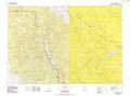 |
Riverton |
Lysite |
Pinedale |
Lander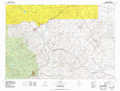 |
Rattlesnake Hills |
Farson |
South Pass |
Bairoil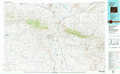 |
> Back to 42108a1 at 1:250,000 scale
> Back to U.S. Topo Maps home
1:24,000 Topo Quads covered by the spatial extent of this 100k map (Lander)
|
Wind River 
|
Ray Lake 
|
Lander Nw 
|
Hudson 
|
Arapahoe 
|
Arapahoe Ne 
|
Alkali Butte 
|
Campbell Ridge 
|
|
Mount Arter 
|
Mount Arter Se 
|
Lander 
|
Lander Se 
|
Ninemile Hill 
|
Bringolf Ranch 
|
Sand Draw 
|
Blue Gulch 
|
|
Cony Mountain 
|
Fossil Hill 
|
Wolf Point 
|
Weiser Pass 
|
Del Monte Ridge 
|
Yellowstone Ranch 
|
Dishpan Butte 
|
Elkhorn Springs 
|
|
Christina Lake 
|
Louis Lake 
|
Miners Delight 
|
Gravel Spring 
|
Schoettlin Mountain 
|
Red Canyon 
|
Sweetwater Station 
|
Myers Ranch 
|