Covington Sw Topo Map Louisiana
To zoom in, hover over the map of Covington Sw
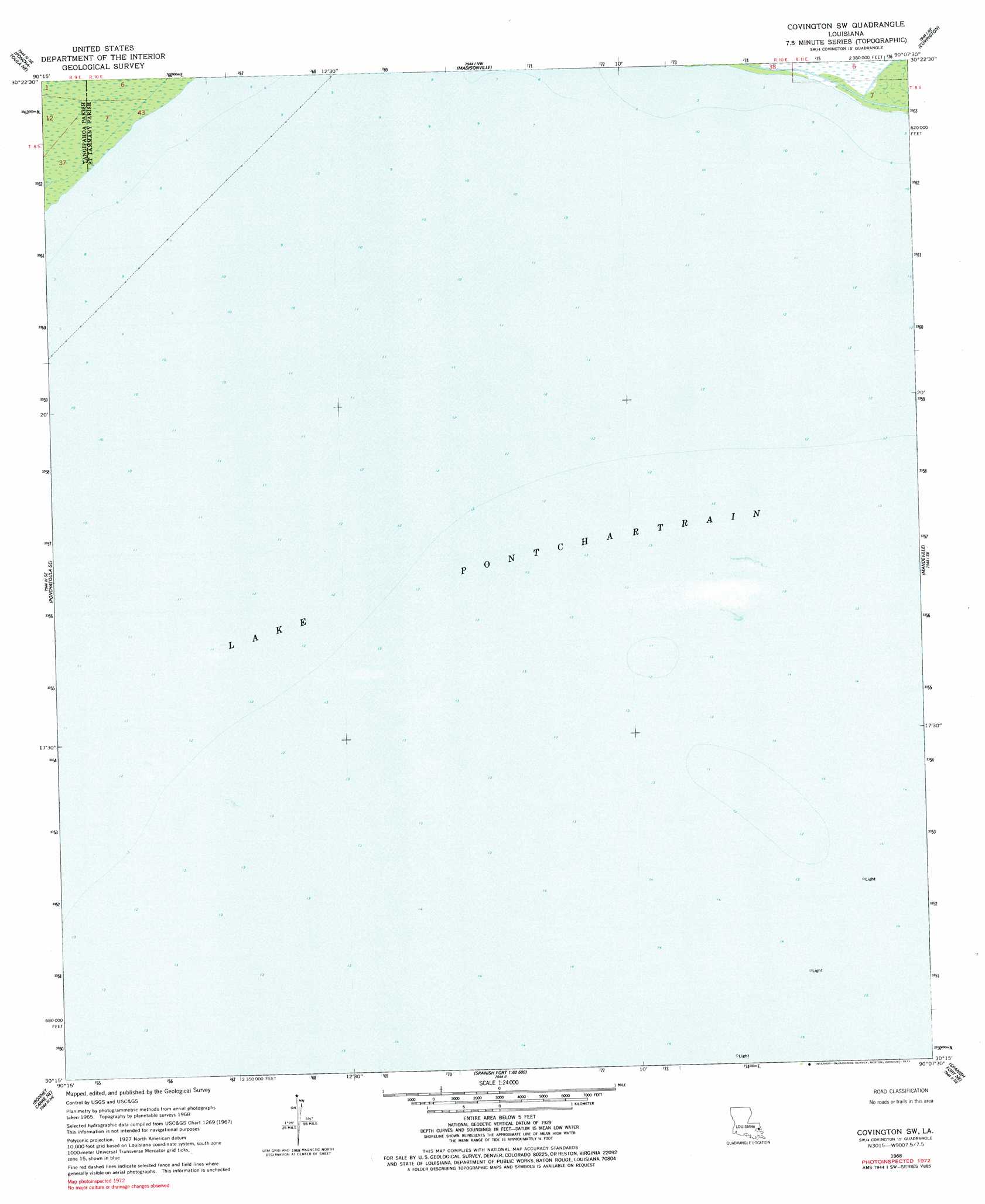
USGS Topo Quad 30090c2 - 1:24,000 scale
| Topo Map Name: | Covington Sw |
| USGS Topo Quad ID: | 30090c2 |
| Print Size: | ca. 21 1/4" wide x 27" high |
| Southeast Coordinates: | 30.25° N latitude / 90.125° W longitude |
| Map Center Coordinates: | 30.3125° N latitude / 90.1875° W longitude |
| U.S. State: | LA |
| Filename: | o30090c2.jpg |
| Download Map JPG Image: | Covington Sw topo map 1:24,000 scale |
| Map Type: | Topographic |
| Topo Series: | 7.5´ |
| Map Scale: | 1:24,000 |
| Source of Map Images: | United States Geological Survey (USGS) |
| Alternate Map Versions: |
Covington SW LA 1968, updated 1969 Download PDF Buy paper map Covington SW LA 1968, updated 1977 Download PDF Buy paper map Covington SW LA 2012 Download PDF Buy paper map Covington SW LA 2015 Download PDF Buy paper map |
1:24,000 Topo Quads surrounding Covington Sw
Hammond |
Robert |
Martinville |
Waldheim |
Bush |
Ponchatoula |
Ponchatoula Ne |
Madisonville |
Covington |
Saint Tammany |
Manchac |
Ponchatoula Se |
Covington Sw |
Mandeville |
Lacombe |
Ruddock |
Bonnett Carre Ne |
Spanish Fort Ne |
South Point |
|
Laplace |
La Branche |
Indian Beach |
Spanish Fort |
Little Woods |
> Back to 30090a1 at 1:100,000 scale
> Back to 30090a1 at 1:250,000 scale
> Back to U.S. Topo Maps home
No gazetteer data is available for the Covington Sw topo map sheet.
Covington Sw digital topo map on disk
Buy this Covington Sw topo map showing relief, roads, GPS coordinates and other geographical features, as a high-resolution digital map file on DVD: