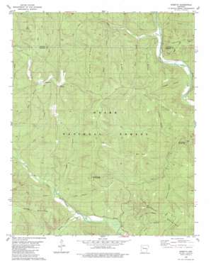
Rosetta Topo Map Arkansas
To zoom in, hover over the map of Rosetta
USGS Topo Quad 35093f3 - 1:24,000 scale
| Topo Map Name: | Rosetta |
| USGS Topo Quad ID: | 35093f3 |
| Print Size: | ca. 21 1/4" wide x 27" high |
| Southeast Coordinates: | 35.625° N latitude / 93.25° W longitude |
| Map Center Coordinates: | 35.6875° N latitude / 93.3125° W longitude |
| U.S. State: | AR |
| Filename: | o35093f3.jpg |
| Download Map JPG Image: | Rosetta topo map 1:24,000 scale |
| Map Type: | Topographic |
| Topo Series: | 7.5´ |
| Map Scale: | 1:24,000 |
| Source of Map Images: | United States Geological Survey (USGS) |
| Alternate Map Versions: |
Rosetta AR 1980, updated 1980 Download PDF Buy paper map Rosetta AR 2011 Download PDF Buy paper map Rosetta AR 2014 Download PDF Buy paper map |
| FStopo: | US Forest Service topo Rosetta is available: Download FStopo PDF Download FStopo TIF |
1:24,000 Topo Quads surrounding Rosetta
> Back to 35093e1 at 1:100,000 scale
> Back to 35092a1 at 1:250,000 scale
> Back to U.S. Topo Maps home
Rosetta topo map: Gazetteer
Rosetta: Capes
Tow Point elevation 508m 1666′Rosetta: Parks
Haw Creek Falls Recreation Area elevation 269m 882′Mineral Springs Recreation Area elevation 508m 1666′
Rosetta: Populated Places
Garber elevation 272m 892′Rosetta elevation 577m 1893′
Rosetta: Ranges
Boston Mountains elevation 591m 1938′Rosetta: Ridges
Bee Ridge elevation 532m 1745′Jims Ridge elevation 502m 1646′
Middle Ridge elevation 563m 1847′
Pine Ridge elevation 450m 1476′
Walnut Ridge elevation 503m 1650′
Rosetta: Streams
Cedar Creek elevation 249m 816′Cow Creek elevation 248m 813′
Dry Creek elevation 246m 807′
Gee Creek elevation 251m 823′
Lick Creek elevation 279m 915′
Little Cow Creek elevation 267m 875′
Middle Cow Creek elevation 290m 951′
Murray Creek elevation 238m 780′
Rock Creek elevation 247m 810′
Rosetta: Summits
Hess Knob elevation 585m 1919′Pilot Rock Mountain elevation 577m 1893′
Rich Knob elevation 572m 1876′
Rosetta: Valleys
Bowman Hollow elevation 286m 938′Childers Hollow elevation 280m 918′
Looper Hollow elevation 240m 787′
Turkey Hollow elevation 246m 807′
Rosetta digital topo map on disk
Buy this Rosetta topo map showing relief, roads, GPS coordinates and other geographical features, as a high-resolution digital map file on DVD:


