Newville Topo Map West Virginia
To zoom in, hover over the map of Newville
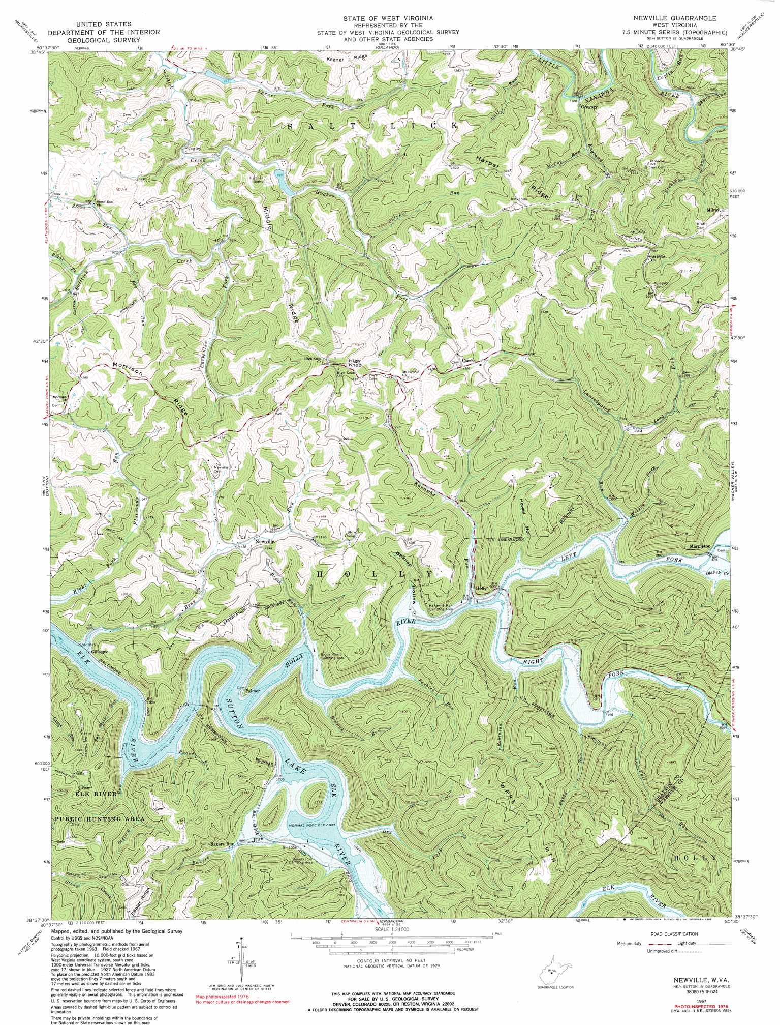
USGS Topo Quad 38080f5 - 1:24,000 scale
| Topo Map Name: | Newville |
| USGS Topo Quad ID: | 38080f5 |
| Print Size: | ca. 21 1/4" wide x 27" high |
| Southeast Coordinates: | 38.625° N latitude / 80.5° W longitude |
| Map Center Coordinates: | 38.6875° N latitude / 80.5625° W longitude |
| U.S. State: | WV |
| Filename: | o38080f5.jpg |
| Download Map JPG Image: | Newville topo map 1:24,000 scale |
| Map Type: | Topographic |
| Topo Series: | 7.5´ |
| Map Scale: | 1:24,000 |
| Source of Map Images: | United States Geological Survey (USGS) |
| Alternate Map Versions: |
Newville WV 1967, updated 1968 Download PDF Buy paper map Newville WV 1967, updated 1981 Download PDF Buy paper map Newville WV 1967, updated 1989 Download PDF Buy paper map Newville WV 2010 Download PDF Buy paper map Newville WV 2014 Download PDF Buy paper map Newville WV 2016 Download PDF Buy paper map |
1:24,000 Topo Quads surrounding Newville
Glenville |
Gilmer |
Peterson |
Roanoke |
Adrian |
Cedarville |
Burnsville |
Orlando |
Walkersville |
Rock Cave |
Gassaway |
Sutton |
Newville |
Hacker Valley |
Goshen |
Herold |
Little Birch |
Erbacon |
Diana |
Skelt |
Widen |
Tioga |
Cowen |
Webster Springs |
Bergoo |
> Back to 38080e1 at 1:100,000 scale
> Back to 38080a1 at 1:250,000 scale
> Back to U.S. Topo Maps home
Newville topo map: Gazetteer
Newville: Dams
Saltlick Creek Structure Number Eight Dam elevation 276m 905′Saltlick Creek Structure Number Seven Dam elevation 339m 1112′
Newville: Populated Places
Bakers Run elevation 311m 1020′Caress elevation 415m 1361′
Corley elevation 262m 859′
Gillespie elevation 302m 990′
Gregory elevation 294m 964′
Holly elevation 284m 931′
Marpleton elevation 308m 1010′
Milroy elevation 450m 1476′
Newville elevation 347m 1138′
Palmer elevation 312m 1023′
Newville: Ridges
Harper Ridge elevation 460m 1509′Middle Ridge elevation 400m 1312′
Morrison Ridge elevation 416m 1364′
Newville: Streams
Bakers Run elevation 282m 925′Bee Run elevation 277m 908′
Bens Run elevation 278m 912′
Brock Run elevation 281m 921′
Browns Run elevation 290m 951′
Cabin Run elevation 293m 961′
Carpenter Fork elevation 268m 879′
Coplin Run elevation 267m 875′
Dry Fork elevation 286m 938′
England Run elevation 260m 853′
Fall Run elevation 294m 964′
Gulf Run elevation 276m 905′
Holly River elevation 279m 915′
Hughes Fork elevation 260m 853′
Kanawha Run elevation 284m 931′
Laurelpatch Run elevation 289m 948′
Left Fork Holly River elevation 282m 925′
Long Fork elevation 332m 1089′
McCoy Run elevation 286m 938′
Mill Creek elevation 283m 928′
Oldlick Creek elevation 295m 967′
Oldlick Run elevation 284m 931′
Peebles Run elevation 281m 921′
Rader Run elevation 284m 931′
Right Fork Flatwoods Run elevation 296m 971′
Right Fork Holly River elevation 285m 935′
Right Fork Saltlick Creek elevation 283m 928′
Robinson Run elevation 287m 941′
Short Run elevation 269m 882′
Spruce Fork elevation 259m 849′
Stone Run elevation 279m 915′
Stonecoal Run elevation 271m 889′
Sulphur Run elevation 307m 1007′
Tar Fall Run elevation 286m 938′
Wilson Fork elevation 297m 974′
Newville: Summits
High Knob elevation 524m 1719′Ware Mountain elevation 594m 1948′
Newville: Valleys
Belknap Hollow elevation 289m 948′Howell Hollow elevation 305m 1000′
Newville digital topo map on disk
Buy this Newville topo map showing relief, roads, GPS coordinates and other geographical features, as a high-resolution digital map file on DVD:
Western Virginia & Southern West Virginia
Buy digital topo maps: Western Virginia & Southern West Virginia