Table Mountain Topo Map Wyoming
To zoom in, hover over the map of Table Mountain
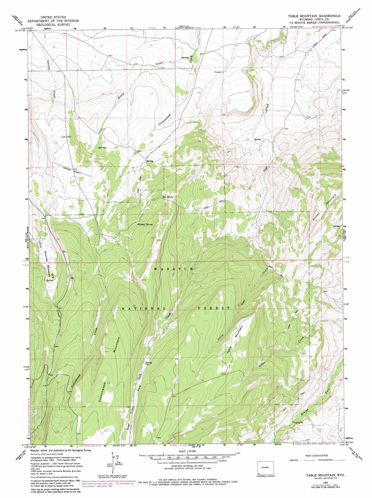
USGS Topo Quad 41110a3 - 1:24,000 scale
| Topo Map Name: | Table Mountain |
| USGS Topo Quad ID: | 41110a3 |
| Print Size: | ca. 21 1/4" wide x 27" high |
| Southeast Coordinates: | 41° N latitude / 110.25° W longitude |
| Map Center Coordinates: | 41.0625° N latitude / 110.3125° W longitude |
| U.S. State: | WY |
| Filename: | o41110a3.jpg |
| Download Map JPG Image: | Table Mountain topo map 1:24,000 scale |
| Map Type: | Topographic |
| Topo Series: | 7.5´ |
| Map Scale: | 1:24,000 |
| Source of Map Images: | United States Geological Survey (USGS) |
| Alternate Map Versions: |
Table Mountain WY 1964, updated 1968 Download PDF Buy paper map Table Mountain WY 1964, updated 1981 Download PDF Buy paper map Table Mountain WY 1998, updated 2001 Download PDF Buy paper map Table Mountain WY 2012 Download PDF Buy paper map Table Mountain WY 2015 Download PDF Buy paper map |
| FStopo: | US Forest Service topo Table Mountain is available: Download FStopo PDF Download FStopo TIF |
1:24,000 Topo Quads surrounding Table Mountain
Leroy |
Fort Bridger |
Mountain View |
Turtle Hill |
Butcher Knife Draw |
Hague Creek |
Robertson |
Leavitt Bench |
Reed Reservoir |
Soap Holes Reservoir |
Meeks Cabin Reservoir |
Buck Fever Ridge |
Table Mountain |
Lonetree |
Burntfork |
Lyman Lake |
Bridger Lake |
Gilbert Peak Ne |
Hole In The Rock |
Hoop Lake |
Mount Lovenia |
Mount Powell |
Kings Peak |
Fox Lake |
Chepeta Lake |
> Back to 41110a1 at 1:100,000 scale
> Back to 41110a1 at 1:250,000 scale
> Back to U.S. Topo Maps home
Table Mountain topo map: Gazetteer
Table Mountain: Flats
Gourley Meadows elevation 2618m 8589′Sage Creek Park elevation 2792m 9160′
Table Mountain: Springs
Big Spring elevation 2664m 8740′Whiskey Spring elevation 2671m 8763′
Table Mountain: Streams
Honey Creek elevation 2431m 7975′Little Sage Creek elevation 2501m 8205′
Table Mountain: Summits
Cottonwood Mountain elevation 2843m 9327′Table Mountain elevation 2807m 9209′
Table Mountain digital topo map on disk
Buy this Table Mountain topo map showing relief, roads, GPS coordinates and other geographical features, as a high-resolution digital map file on DVD: