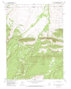
Hole In The Rock Topo Map Utah
To zoom in, hover over the map of Hole In The Rock
USGS Topo Quad 40110h2 - 1:24,000 scale
| Topo Map Name: | Hole In The Rock |
| USGS Topo Quad ID: | 40110h2 |
| Print Size: | ca. 21 1/4" wide x 27" high |
| Southeast Coordinates: | 40.875° N latitude / 110.125° W longitude |
| Map Center Coordinates: | 40.9375° N latitude / 110.1875° W longitude |
| U.S. States: | UT, WY |
| Filename: | o40110h2.jpg |
| Download Map JPG Image: | Hole In The Rock topo map 1:24,000 scale |
| Map Type: | Topographic |
| Topo Series: | 7.5´ |
| Map Scale: | 1:24,000 |
| Source of Map Images: | United States Geological Survey (USGS) |
| Alternate Map Versions: |
Hole In The Rock UT 1967 Download PDF Buy paper map Hole In The Rock UT 1967, updated 1970 Download PDF Buy paper map Hole In The Rock UT 1998, updated 2001 Download PDF Buy paper map Hole In The Rock UT 2011 Download PDF Buy paper map Hole In The Rock UT 2014 Download PDF Buy paper map |
| FStopo: | US Forest Service topo Hole In The Rock is available: Download FStopo PDF Download FStopo TIF |
1:24,000 Topo Quads surrounding Hole In The Rock
> Back to 40110e1 at 1:100,000 scale
> Back to 40110a1 at 1:250,000 scale
> Back to U.S. Topo Maps home
Hole In The Rock topo map: Gazetteer
Hole In The Rock: Arches
Hole in the Rock elevation 2735m 8973′Hole In The Rock: Dams
Hoop Lake Dam elevation 2804m 9199′Hole In The Rock: Flats
Beaver Parks elevation 3085m 10121′Georges Park elevation 2764m 9068′
Willow Park elevation 2798m 9179′
Hole In The Rock: Lakes
Hidden Lake elevation 3097m 10160′Hole In The Rock: Ridges
Burnt Ridge elevation 3135m 10285′Hole In The Rock: Springs
Hole in the Rock Spring elevation 2584m 8477′Hole In The Rock: Streams
East Fork Beaver Creek elevation 2486m 8156′Fallon Creek elevation 2660m 8727′
Middle Fork Beaver Creek elevation 2488m 8162′
Hole In The Rock: Summits
Coal Mine Hill elevation 2971m 9747′Hole In The Rock digital topo map on disk
Buy this Hole In The Rock topo map showing relief, roads, GPS coordinates and other geographical features, as a high-resolution digital map file on DVD:


