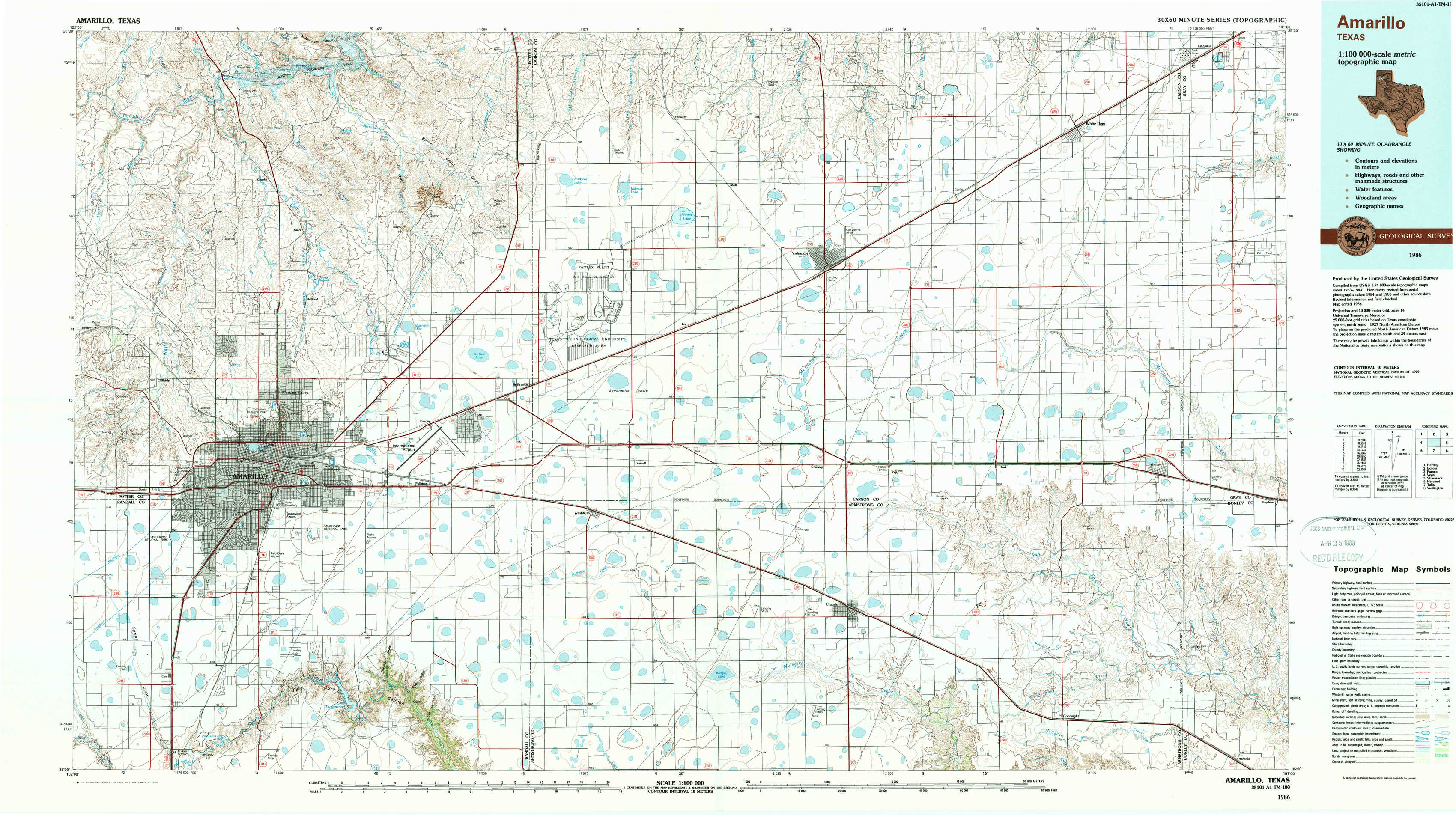
Amarillo Topo Map Texas
To zoom in, hover over the map of Amarillo
USGS Topo Map 35101a1 - 1:100,000 scale
| Topo Map Name: | Amarillo |
| USGS Topo Quad ID: | 35101a1 |
| Print Size: | ca. 39" wide x 24" high |
| Southeast Coordinates: | 35° N latitude / 101° W longitude |
| Map Center Coordinates: | 35.25° N latitude / 101.5° W longitude |
| U.S. State: | TX |
| Filename: | 35101a1.jpg |
| Download Map JPG Image: | Amarillo topo map 1:100,000 scale |
| Map Type: | Topographic |
| Topo Series: | 30´x60´ |
| Map Scale: | 1:100,000 |
| Source of Map Images: | United States Geological Survey (USGS) |
| Alternate Map Versions: |
Amarillo TX 1986, updated 1986 Download PDF Buy paper map Amarillo TX 1986, updated 1989 Download PDF Buy paper map |
1:100,000 Topos surrounding Amarillo
Hartley |
Borger |
Pampa |
Vega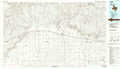 |
Amarillo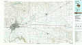 |
Shamrock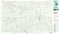 |
Hereford |
Tulia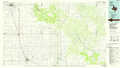 |
Wellington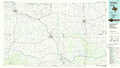 |
> Back to 35100a1 at 1:250,000 scale
> Back to U.S. Topo Maps home
1:24,000 Topo Quads covered by the spatial extent of this 100k map (Amarillo)
|
Puente 
|
Chunky 
|
Berry Sand Draw 
|
Pomeroy 
|
Abell 
|
Cuyler 
|
White Deer 
|
Kingsmill 
|
|
Cliffside 
|
Pleasant Valley 
|
Mayer 
|
Sevenmile Basin 
|
Panhandle West 
|
Panhandle East 
|
White Deer Sw 
|
Grandview School 
|
|
Amarillo West 
|
Amarillo East 
|
Pullman 
|
Washburn 
|
Conway 
|
Claude Ne 
|
Lark 
|
Groom 
|
|
Buffalo Stadium 
|
The Palisades 
|
Thomas Ranch 
|
Fairview 
|
Claude Sw 
|
Claude 
|
Goodnight 
|
Ashtola 
|