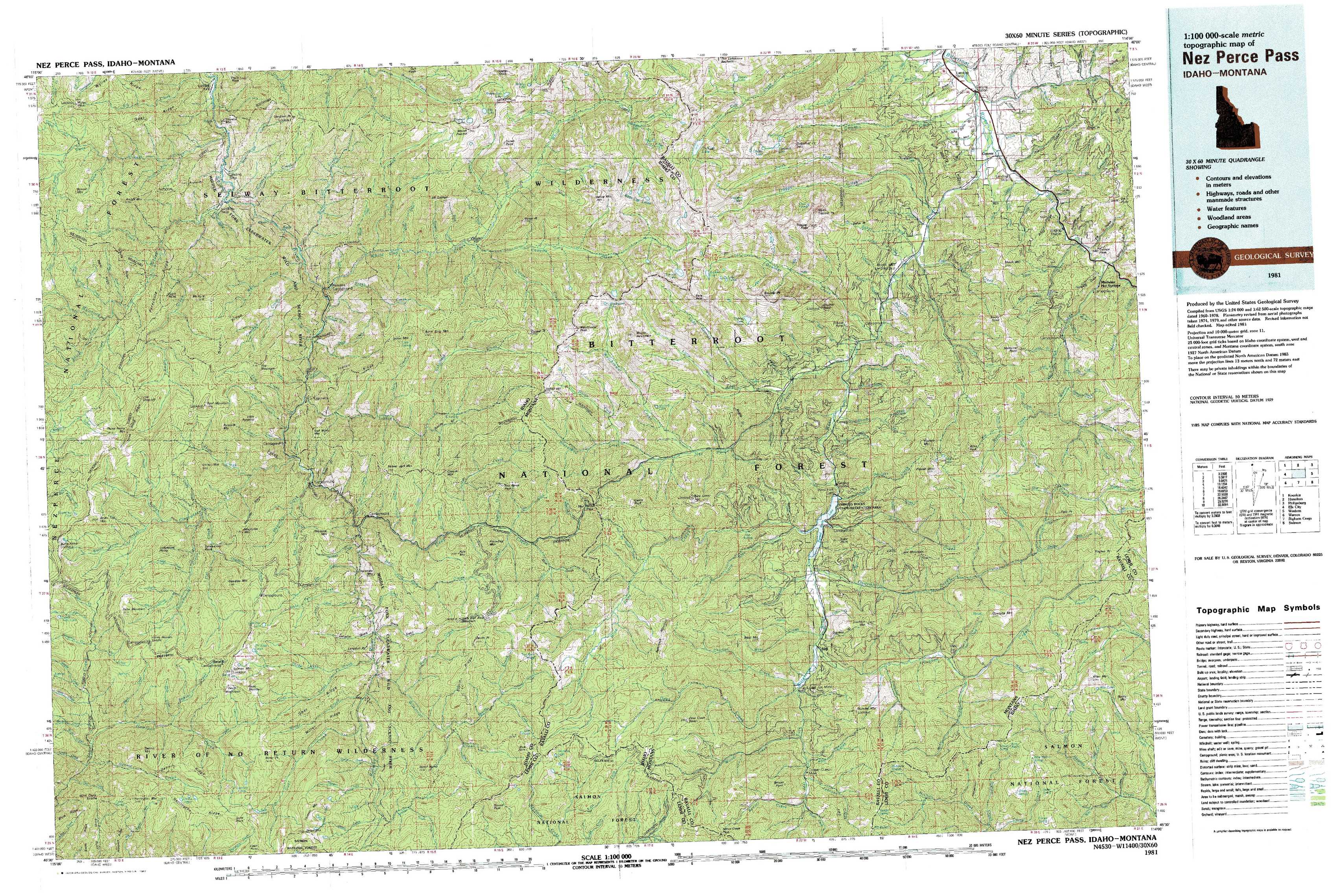
Nez Perce Pass Topo Map Idaho
To zoom in, hover over the map of Nez Perce Pass
USGS Topo Map 45114e1 - 1:100,000 scale
| Topo Map Name: | Nez Perce Pass |
| USGS Topo Quad ID: | 45114e1 |
| Print Size: | ca. 39" wide x 24" high |
| Southeast Coordinates: | 45.5° N latitude / 114° W longitude |
| Map Center Coordinates: | 45.75° N latitude / 114.5° W longitude |
| U.S. States: | ID, MT |
| Filename: | 45114e1.jpg |
| Download Map JPG Image: | Nez Perce Pass topo map 1:100,000 scale |
| Map Type: | Topographic |
| Topo Series: | 30´x60´ |
| Map Scale: | 1:100,000 |
| Source of Map Images: | United States Geological Survey (USGS) |
| Alternate Map Versions: | none available in database |
1:100,000 Topos surrounding Nez Perce Pass
Kooskia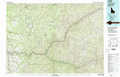 |
Hamilton |
Philipsburg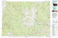 |
Elk City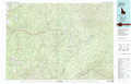 |
Nez Perce Pass |
Wisdom |
Warren |
Bighorn Crags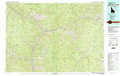 |
Salmon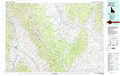 |
> Back to 45114a1 at 1:250,000 scale
> Back to U.S. Topo Maps home
1:24,000 Topo Quads covered by the spatial extent of this 100k map (Nez Perce Pass)
|
Wylies Peak 
|
Gardiner Peak 
|
Mount George 
|
Mount Paloma 
|
Tin Cup Lake 
|
Trapper Peak 
|
Burnt Ridge 
|
Robbins Gulch 
|
|
Three Prong Mountain 
|
Spot Mountain 
|
Burnt Strip Mountain 
|
Watchtower Peak 
|
Mount Jerusalem 
|
Boulder Peak 
|
Piquett Creek 
|
Medicine Hot Springs 
|
|
Sabe Mountain 
|
Magruder Mountain 
|
Beaver Jack Mountain 
|
Nez Perce Peak 
|
Bare Cone 
|
Painted Rocks Lake 
|
Piquett Mountain 
|
Overwhich Falls 
|
|
Dennis Mountain 
|
Stripe Mountain 
|
Wood Hump 
|
Blue Joint 
|
Horse Creek Pass 
|
Alta 
|
Henderson Ridge 
|
Allan Mountain 
|