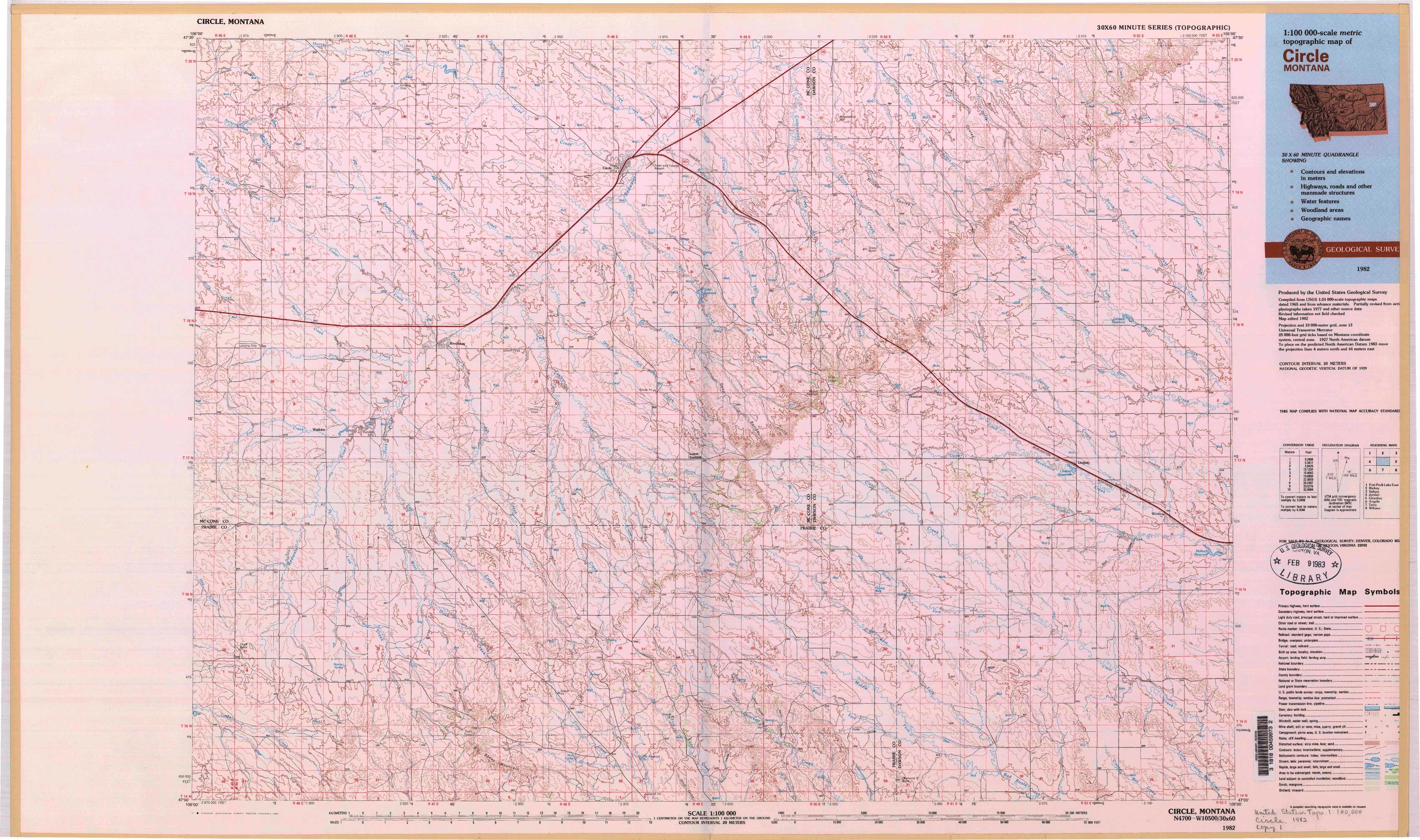
Circle Topo Map Montana
To zoom in, hover over the map of Circle
USGS Topo Map 47105a1 - 1:100,000 scale
| Topo Map Name: | Circle |
| USGS Topo Quad ID: | 47105a1 |
| Print Size: | ca. 39" wide x 24" high |
| Southeast Coordinates: | 47° N latitude / 105° W longitude |
| Map Center Coordinates: | 47.25° N latitude / 105.5° W longitude |
| U.S. State: | MT |
| Filename: | 47105a1.jpg |
| Download Map JPG Image: | Circle topo map 1:100,000 scale |
| Map Type: | Topographic |
| Topo Series: | 30´x60´ |
| Map Scale: | 1:100,000 |
| Source of Map Images: | United States Geological Survey (USGS) |
| Alternate Map Versions: | none available in database |
1:100,000 Topos surrounding Circle
Fort Peck Lake East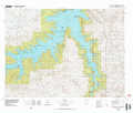 |
Richey |
Sidney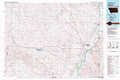 |
Jordan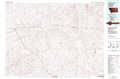 |
Circle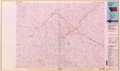 |
Glendive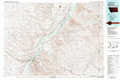 |
Angela |
Terry |
Wibaux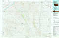 |
> Back to 47104a1 at 1:250,000 scale
> Back to U.S. Topo Maps home
1:24,000 Topo Quads covered by the spatial extent of this 100k map (Circle)
|
Johnson Coulee East 
|
Brockway Ne 
|
Youngquist Mine 
|
Circle 
|
Woodworth Hill 
|
Olson Coulee North 
|
Johnson Reservoir Nw 
|
Johnson Reservoir Ne 
|
|
Beauty Creek 
|
Brockway 
|
Circle Sw 
|
Quick Reservoir 
|
Mount Antelope 
|
Olson Coulee South 
|
Deer Creek Church 
|
Johnson Reservoir 
|
|
Berry School 
|
Watkins 
|
Big Sheep Mountain Nw 
|
Bearshack Creek 
|
Diamond G Butte Nw 
|
Union School 
|
Lindsay 
|
Woodrow 
|
|
Heitz School 
|
Watkins Se 
|
Big Sheep Mountain 
|
Becker Dam 
|
North Coulee 
|
Diamond G Butte 
|
Lindsay Sw 
|
Upper Cracker Box School 
|