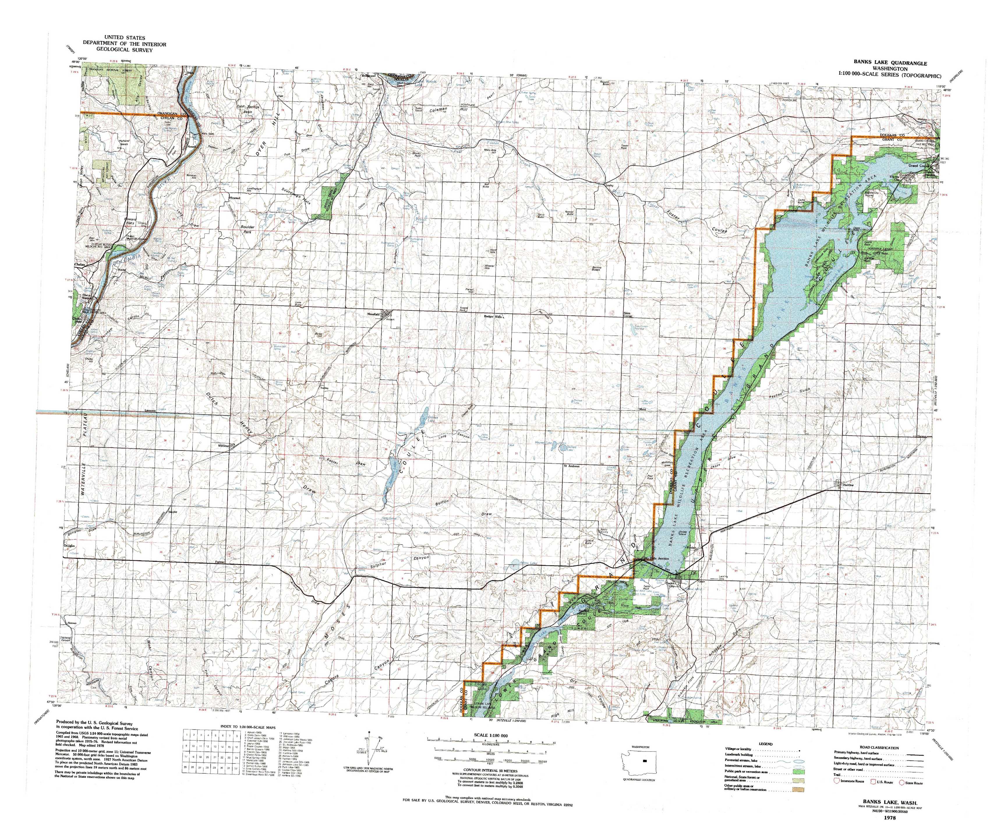
Banks Lake Topo Map Washington
To zoom in, hover over the map of Banks Lake
USGS Topo Map 47119e1 - 1:100,000 scale
| Topo Map Name: | Banks Lake |
| USGS Topo Quad ID: | 47119e1 |
| Print Size: | ca. 39" wide x 24" high |
| Southeast Coordinates: | 47.5° N latitude / 119° W longitude |
| Map Center Coordinates: | 47.75° N latitude / 119.5° W longitude |
| U.S. State: | WA |
| Filename: | 47119e1.jpg |
| Download Map JPG Image: | Banks Lake topo map 1:100,000 scale |
| Map Type: | Topographic |
| Topo Series: | 30´x60´ |
| Map Scale: | 1:100,000 |
| Source of Map Images: | United States Geological Survey (USGS) |
| Alternate Map Versions: | none available in database |
1:100,000 Topos surrounding Banks Lake
Twisp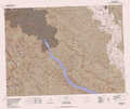 |
Omak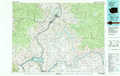 |
Nespelem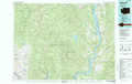 |
Chelan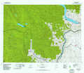 |
Banks Lake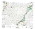 |
Coulee Dam |
Wenatchee |
Moses Lake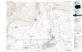 |
Ritzville |
> Back to 47118a1 at 1:250,000 scale
> Back to U.S. Topo Maps home
1:24,000 Topo Quads covered by the spatial extent of this 100k map (Banks Lake)
|
Azwell 
|
Wells Dam 
|
Chief Joseph Dam 
|
Coleman Hill 
|
Leahy 
|
Foster Coulee 
|
Barker Canyon 
|
Electric City 
|
|
Chelan Falls 
|
Mud Spring 
|
Mansfield 
|
Piersol Hills 
|
Barnes Butte 
|
Sims Corner 
|
Steamboat Rock West 
|
Steamboat Rock East 
|
|
Lamoine 
|
Withrow 
|
Jameson Lake West 
|
Jameson Lake East 
|
Saint Andrews 
|
Mold 
|
Hartline Nw 
|
Hartline 
|
|
Alstown 
|
Farmer 
|
Jameson Lake Sw 
|
Jameson Lake Se 
|
Park Lake 
|
Coulee City 
|
Hartline Sw 
|
Hartline Se 
|