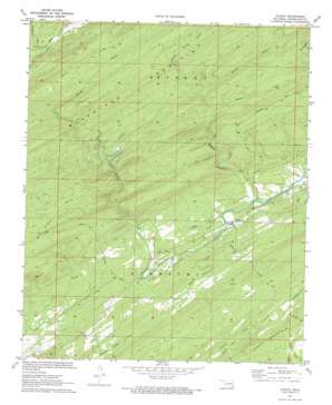
Cloudy Topo Map Oklahoma
To zoom in, hover over the map of Cloudy
USGS Topo Quad 34095c3 - 1:24,000 scale
| Topo Map Name: | Cloudy |
| USGS Topo Quad ID: | 34095c3 |
| Print Size: | ca. 21 1/4" wide x 27" high |
| Southeast Coordinates: | 34.25° N latitude / 95.25° W longitude |
| Map Center Coordinates: | 34.3125° N latitude / 95.3125° W longitude |
| U.S. State: | OK |
| Filename: | o34095c3.jpg |
| Download Map JPG Image: | Cloudy topo map 1:24,000 scale |
| Map Type: | Topographic |
| Topo Series: | 7.5´ |
| Map Scale: | 1:24,000 |
| Source of Map Images: | United States Geological Survey (USGS) |
| Alternate Map Versions: |
Cloudy OK 1972, updated 1973 Download PDF Buy paper map Cloudy OK 2009 Download PDF Buy paper map Cloudy OK 2012 Download PDF Buy paper map Cloudy OK 2016 Download PDF Buy paper map |
1:24,000 Topo Quads surrounding Cloudy
> Back to 34095a1 at 1:100,000 scale
> Back to 34094a1 at 1:250,000 scale
> Back to U.S. Topo Maps home
Cloudy topo map: Gazetteer
Cloudy: Dams
Fourche Maline Creek Site 6 Dam elevation 246m 807′Cloudy: Populated Places
Cloudy elevation 181m 593′Cloudy: Reservoirs
Fourche Maline Creek Site 6 Reservoir elevation 246m 807′Cloudy: Streams
Brushy Creek elevation 169m 554′Bullpen Creek elevation 218m 715′
Dog Creek elevation 170m 557′
Middle One Creek elevation 164m 538′
Mill Creek elevation 170m 557′
North Brushy Creek elevation 224m 734′
North One Creek elevation 164m 538′
West Dog Creek elevation 174m 570′
Cloudy: Trails
McFarland Trail elevation 281m 921′Tram Trail elevation 280m 918′
Webb Trail elevation 254m 833′
Cloudy digital topo map on disk
Buy this Cloudy topo map showing relief, roads, GPS coordinates and other geographical features, as a high-resolution digital map file on DVD:


