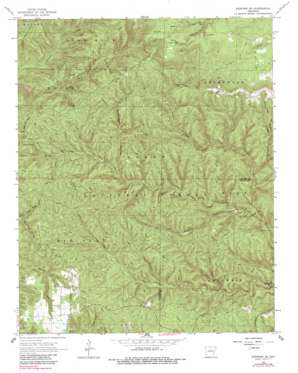
Norfork Se Topo Map Arkansas
To zoom in, hover over the map of Norfork Se
USGS Topo Quad 36092a3 - 1:24,000 scale
| Topo Map Name: | Norfork Se |
| USGS Topo Quad ID: | 36092a3 |
| Print Size: | ca. 21 1/4" wide x 27" high |
| Southeast Coordinates: | 36° N latitude / 92.25° W longitude |
| Map Center Coordinates: | 36.0625° N latitude / 92.3125° W longitude |
| U.S. State: | AR |
| Filename: | o36092a3.jpg |
| Download Map JPG Image: | Norfork Se topo map 1:24,000 scale |
| Map Type: | Topographic |
| Topo Series: | 7.5´ |
| Map Scale: | 1:24,000 |
| Source of Map Images: | United States Geological Survey (USGS) |
| Alternate Map Versions: |
Norfork SE AR 1966, updated 1967 Download PDF Buy paper map Norfork SE AR 1966, updated 1984 Download PDF Buy paper map Norfork SE AR 1966, updated 1984 Download PDF Buy paper map Norfork SE AR 2011 Download PDF Buy paper map Norfork SE AR 2014 Download PDF Buy paper map |
| FStopo: | US Forest Service topo Norfork SE is available: Download FStopo PDF Download FStopo TIF |
1:24,000 Topo Quads surrounding Norfork Se
> Back to 36092a1 at 1:100,000 scale
> Back to 36092a1 at 1:250,000 scale
> Back to U.S. Topo Maps home
Norfork Se topo map: Gazetteer
Norfork Se: Gaps
Caroline Gap elevation 335m 1099′Norfork Se: Parks
Clifty Canyon Special Interest Area elevation 258m 846′Norfork Se: Populated Places
Jonesdale (historical) elevation 345m 1131′Norfork Se: Ridges
Sandy Ridge elevation 329m 1079′Norfork Se: Springs
Tassel Spring elevation 310m 1017′Norfork Se: Streams
Barkshed Creek elevation 184m 603′Bee Branch elevation 215m 705′
Cap Fork elevation 156m 511′
Cole Fork elevation 176m 577′
Hooper Creek elevation 183m 600′
Spring Beech Creek elevation 174m 570′
Stewart Fork elevation 174m 570′
Norfork Se: Summits
Push Mountain elevation 379m 1243′Norfork Se: Valleys
Birmingham Hollow elevation 229m 751′Clifty Canyon elevation 201m 659′
Grassy Hollow elevation 294m 964′
Sycamore Hollow elevation 253m 830′
Norfork Se digital topo map on disk
Buy this Norfork Se topo map showing relief, roads, GPS coordinates and other geographical features, as a high-resolution digital map file on DVD:


