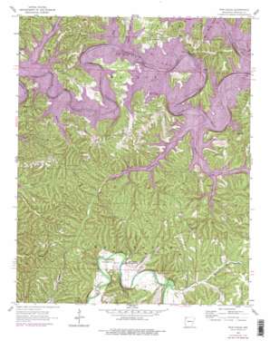
War Eagle Topo Map Arkansas
To zoom in, hover over the map of War Eagle
USGS Topo Quad 36093c8 - 1:24,000 scale
| Topo Map Name: | War Eagle |
| USGS Topo Quad ID: | 36093c8 |
| Print Size: | ca. 21 1/4" wide x 27" high |
| Southeast Coordinates: | 36.25° N latitude / 93.875° W longitude |
| Map Center Coordinates: | 36.3125° N latitude / 93.9375° W longitude |
| U.S. State: | AR |
| Filename: | o36093c8.jpg |
| Download Map JPG Image: | War Eagle topo map 1:24,000 scale |
| Map Type: | Topographic |
| Topo Series: | 7.5´ |
| Map Scale: | 1:24,000 |
| Source of Map Images: | United States Geological Survey (USGS) |
| Alternate Map Versions: |
War Eagle AR 1957, updated 1959 Download PDF Buy paper map War Eagle AR 1957, updated 1963 Download PDF Buy paper map War Eagle AR 1957, updated 1977 Download PDF Buy paper map War Eagle AR 1957, updated 1977 Download PDF Buy paper map War Eagle AR 2011 Download PDF Buy paper map War Eagle AR 2014 Download PDF Buy paper map |
1:24,000 Topo Quads surrounding War Eagle
> Back to 36093a1 at 1:100,000 scale
> Back to 36092a1 at 1:250,000 scale
> Back to U.S. Topo Maps home
War Eagle topo map: Gazetteer
War Eagle: Bridges
War Eagle Bridge elevation 344m 1128′War Eagle: Cliffs
Cedar Bluff elevation 363m 1190′Red Bluff elevation 357m 1171′
War Eagle Bluff elevation 357m 1171′
War Eagle: Crossings
Jennings Ford (historical) elevation 342m 1122′Knox Ferry (historical) elevation 342m 1122′
Knox Ford (historical) elevation 342m 1122′
War Eagle: Gaps
Devils Gap elevation 342m 1122′Slate Gap elevation 344m 1128′
War Eagle: Mines
Copper Mine elevation 367m 1204′War Eagle: Parks
Rocky Branch Public Use Area elevation 342m 1122′Ventris Public Use Area elevation 343m 1125′
War Eagle: Populated Places
Beacon Addition elevation 391m 1282′Bland elevation 408m 1338′
Glade elevation 349m 1145′
Green Acres elevation 356m 1167′
Lakeland Hills elevation 402m 1318′
Larue elevation 355m 1164′
Pine Top elevation 418m 1371′
Rambo Riviera elevation 386m 1266′
Rivercliff Estates elevation 392m 1286′
Sedalia (historical) elevation 427m 1400′
Tanglewood elevation 404m 1325′
War Eagle elevation 359m 1177′
War Eagle: Post Offices
Larue Post Office elevation 355m 1164′War Eagle Post Office (historical) elevation 349m 1145′
War Eagle: Springs
Van Winkle Hollow Spring elevation 362m 1187′War Eagle: Streams
Big Clifty Creek elevation 342m 1122′Cedar Creek elevation 342m 1122′
Fords Creek elevation 341m 1118′
Hall Spring Branch elevation 342m 1122′
Little Clifty Creek elevation 342m 1122′
Pulhane Branch elevation 342m 1122′
Rambo Creek elevation 342m 1122′
Rocky Branch elevation 342m 1122′
Shaddox Branch elevation 342m 1122′
Ventry Branch elevation 341m 1118′
West Fork Little Clifty Creek elevation 341m 1118′
War Eagle: Valleys
Van Hollow elevation 342m 1122′Ventris Hollow elevation 341m 1118′
War Eagle digital topo map on disk
Buy this War Eagle topo map showing relief, roads, GPS coordinates and other geographical features, as a high-resolution digital map file on DVD:


